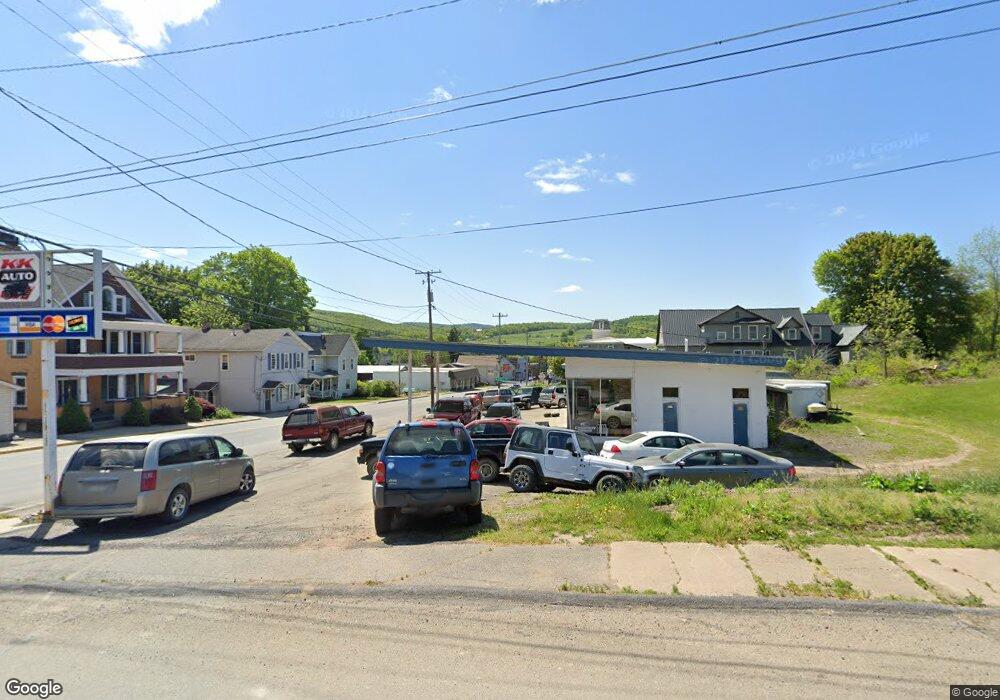
13971 Route 14 Canton, PA 17724
Estimated Value: $197,000 - $350,000
3
Beds
4
Baths
--
Sq Ft
8
Acres
About This Home
This home is located at 13971 Route 14, Canton, PA 17724 and is currently estimated at $283,030. 13971 Route 14 is a home located in Bradford County with nearby schools including Canton Area Elementary School and Canton Junior/Senior High School.
Ownership History
Date
Name
Owned For
Owner Type
Purchase Details
Closed on
Nov 26, 2013
Sold by
Sturge Sandra K and Hoover Rick L
Bought by
Palmer Allen Crist and Palmer Diane M
Current Estimated Value
Home Financials for this Owner
Home Financials are based on the most recent Mortgage that was taken out on this home.
Original Mortgage
$350,000
Interest Rate
4.29%
Mortgage Type
Purchase Money Mortgage
Purchase Details
Closed on
Dec 20, 2010
Sold by
Hoover Rick L
Bought by
Sturge Sandra K and Hoover Rick L
Create a Home Valuation Report for This Property
The Home Valuation Report is an in-depth analysis detailing your home's value as well as a comparison with similar homes in the area
Home Values in the Area
Average Home Value in this Area
Purchase History
| Date | Buyer | Sale Price | Title Company |
|---|---|---|---|
| Palmer Allen Crist | $350,000 | None Available | |
| Sturge Sandra K | -- | None Available |
Source: Public Records
Mortgage History
| Date | Status | Borrower | Loan Amount |
|---|---|---|---|
| Closed | Palmer Allen Crist | $350,000 |
Source: Public Records
Tax History Compared to Growth
Tax History
| Year | Tax Paid | Tax Assessment Tax Assessment Total Assessment is a certain percentage of the fair market value that is determined by local assessors to be the total taxable value of land and additions on the property. | Land | Improvement |
|---|---|---|---|---|
| 2025 | $2,672 | $48,150 | $0 | $0 |
| 2024 | $2,567 | $48,150 | $0 | $0 |
| 2023 | $2,567 | $48,150 | $0 | $0 |
| 2022 | $2,539 | $48,150 | $0 | $0 |
| 2021 | $2,539 | $48,150 | $0 | $0 |
| 2020 | $2,511 | $48,150 | $0 | $0 |
| 2019 | $2,509 | $48,150 | $0 | $0 |
| 2018 | $2,401 | $48,150 | $0 | $0 |
| 2017 | $2,368 | $48,150 | $0 | $0 |
| 2016 | -- | $48,150 | $0 | $0 |
| 2015 | -- | $48,150 | $0 | $0 |
| 2014 | $1,506 | $48,150 | $0 | $0 |
Source: Public Records
Map
Nearby Homes
- 14751 Route 14
- Upper Mountain Rd Lot Unit WP001
- 0 Upper Mountain Rd
- 19 Lovell Ln
- 386 Troy St
- 290 Troy St
- 63 Brann St
- 85 N Minnequa Ave
- 127 Troy St
- 94 N Center St
- 55 Clinton St
- 108 S Washington St
- 417 Furman Rd
- 49-51 T-329
- 1751 Douglas Rd
- 374 S Minnequa Ave
- 118 E South Ave
- 448 Mcnaught Rd
- 2004 Fall Brook Rd
- 1616 W Union Rd
- 1513 Newell Rd
- RT 14
- 13815 Route 14
- 14035 Route 14
- 1407 Newell Rd
- 14330 Route 14
- 1331 Newell Rd
- 1243 Newell Rd
- 14237 Route 14
- 185 de Morgan Acres Ln
- 185 De-Morgan Acres Ln
- 13516 Route 14
- 1153 Newell Rd
- 1118 Newell Rd
- 14389 Route 14
- 970 Newell Rd
- 987 Newell Rd
- 14459 Route 14
- 14500 Route 14
- 14516 Route 14