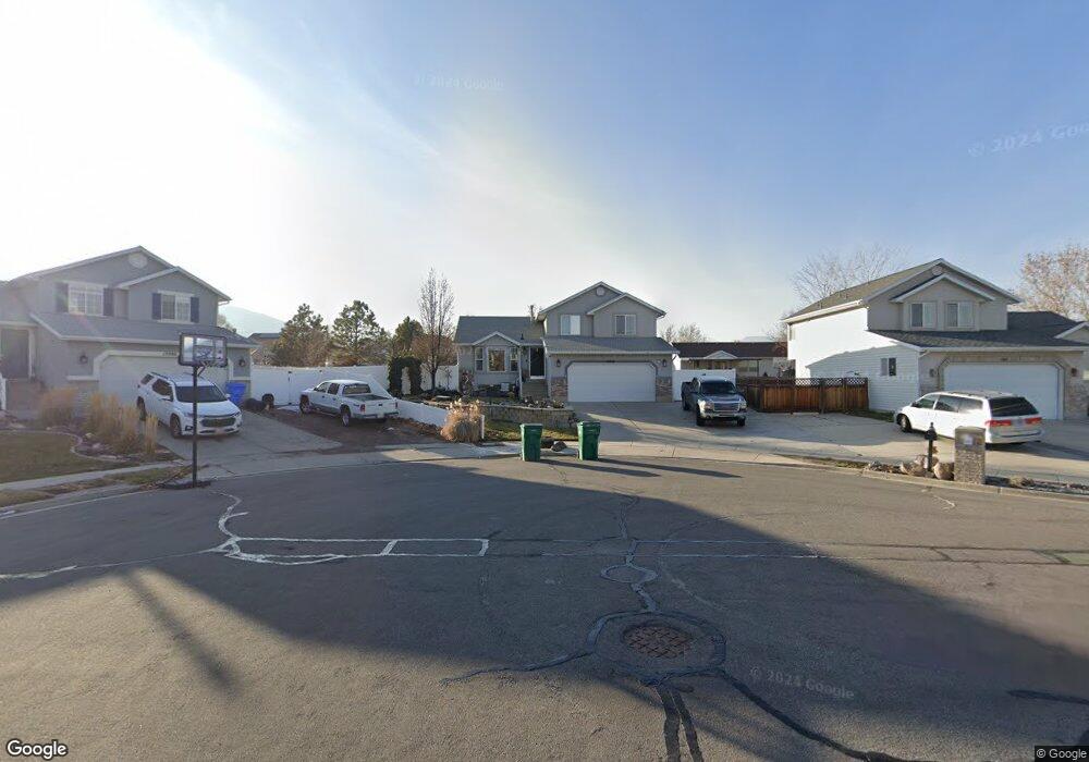
13976 S Haystack Peak Cir Riverton, UT 84096
Estimated Value: $575,305 - $598,000
4
Beds
3
Baths
1,948
Sq Ft
$303/Sq Ft
Est. Value
About This Home
This home is located at 13976 S Haystack Peak Cir, Riverton, UT 84096 and is currently estimated at $589,576, approximately $302 per square foot. 13976 S Haystack Peak Cir is a home located in Salt Lake County with nearby schools including Foothills School, South Hills Middle School, and Mountain Ridge High School.
Ownership History
Date
Name
Owned For
Owner Type
Purchase Details
Closed on
Jun 26, 2014
Sold by
Unlimited Capital Resources Inc
Bought by
Stevens Jeffery Brock
Current Estimated Value
Home Financials for this Owner
Home Financials are based on the most recent Mortgage that was taken out on this home.
Original Mortgage
$265,590
Outstanding Balance
$202,376
Interest Rate
4.17%
Mortgage Type
VA
Estimated Equity
$387,200
Purchase Details
Closed on
Sep 12, 2013
Sold by
Everett Todd W and Everett Wendy A
Bought by
Unlimited Capital Resources Inc and Aspen Investing Network Llc
Purchase Details
Closed on
Oct 3, 1997
Sold by
Waldenwood Homes Inc
Bought by
Everett Todd W and Everett Wendy A
Home Financials for this Owner
Home Financials are based on the most recent Mortgage that was taken out on this home.
Original Mortgage
$125,665
Interest Rate
7.44%
Mortgage Type
FHA
Create a Home Valuation Report for This Property
The Home Valuation Report is an in-depth analysis detailing your home's value as well as a comparison with similar homes in the area
Home Values in the Area
Average Home Value in this Area
Purchase History
| Date | Buyer | Sale Price | Title Company |
|---|---|---|---|
| Stevens Jeffery Brock | -- | Bonneville Superior Title | |
| Unlimited Capital Resources Inc | -- | Title One | |
| Everett Todd W | -- | -- |
Source: Public Records
Mortgage History
| Date | Status | Borrower | Loan Amount |
|---|---|---|---|
| Open | Stevens Jeffery Brock | $265,590 | |
| Previous Owner | Everett Todd W | $125,665 |
Source: Public Records
Tax History
| Year | Tax Paid | Tax Assessment Tax Assessment Total Assessment is a certain percentage of the fair market value that is determined by local assessors to be the total taxable value of land and additions on the property. | Land | Improvement |
|---|---|---|---|---|
| 2025 | -- | $553,000 | $209,900 | $343,100 |
| 2024 | -- | $490,300 | $192,800 | $297,500 |
| 2023 | $599 | $488,000 | $178,500 | $309,500 |
| 2022 | $599 | $494,300 | $175,000 | $319,300 |
| 2021 | $3,468 | $365,200 | $135,000 | $230,200 |
| 2020 | $2,471 | $328,300 | $105,000 | $223,300 |
| 2019 | $2,406 | $314,300 | $100,000 | $214,300 |
| 2016 | $2,111 | $253,900 | $92,400 | $161,500 |
Source: Public Records
Map
Nearby Homes
- 13941 S 4960 W
- 13830 S Little Water Peak Dr
- 5244 W Shaggy Peak Dr
- 4886 Boulder Meadow Dr
- 4722 W Cillian Ln Unit 2411
- 5272 Sun Bloom Cir
- 4714 W Cillian Ln Unit 2410
- 13597 S Firetip Ct
- 13626 S Bluewing Way
- 4688 W Cillian Ln Unit 2408
- 4682 W Cillian Ln Unit 2407
- 4676 W Cillian Ln Unit 2406
- 4662 W Cillian Ln Unit 2405
- 4596 W Watchmen Way Unit 1402
- 4638 W Cillian Ln Unit 2403
- 4927 W Yellow Topaz Dr
- 13687 S Hanley Ln Unit DD102
- 13687 S Hanley Ln Unit DD203
- 13578 S Buckeye View Way
- 5154 W Windom Rd
- 13976 Haystack Peak Cir
- 13975 S Cedar Point Peak Cir
- 13975 Cedar Point Peak Cir
- 13980 Haystack Peak Cir
- 13980 S Haystack Peak Cir
- 13962 S 5050 W
- 13962 Haystack Peak Cir
- 5106 van Cott Peak Cir
- 5107 van Cott Peak Cir
- 5108 van Cott Peak Cir
- 5109 van Cott Peak Cir
- 5111 van Cott Peak Cir
- 5110 van Cott Peak Cir
- 5114 van Cott Peak Cir
- 5113 van Cott Peak Cir
- 5115 van Cott Peak Cir
- 5116 van Cott Peak Cir
- 13965 Cedar Point Peak Cir
- 13965 S Cedar Point Peak Cir
- 13979 Cedar Point Peak Cir
Your Personal Tour Guide
Ask me questions while you tour the home.