13977 Lanning Dr Whittier, CA 90605
South Whittier NeighborhoodEstimated Value: $784,000 - $796,011
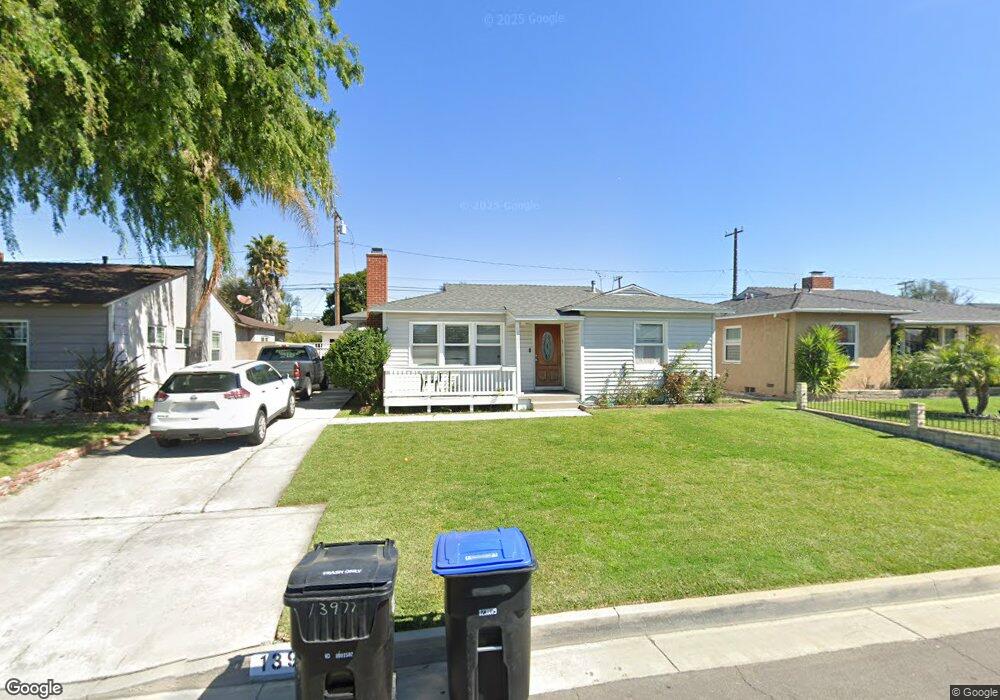
About This Home
This home is located at 13977 Lanning Dr, Whittier, CA 90605 and is currently estimated at $789,753, approximately $576 per square foot. 13977 Lanning Dr is a home located in Los Angeles County with nearby schools including Mulberry Elementary School, Hillview Middle School, and California High School.
Ownership History
We collect this data history from publicly available records. To have your information removed, we recommend requesting removal directly through your county’s website.
Purchase Details
Purchase Details
Home Financials for this Owner
Home Financials are based on the most recent Mortgage that was taken out on this home.Home Values in the Area
Average Home Value in this Area
Purchase History
We collect this data history from publicly available records. To have your information removed, we recommend requesting removal directly through your county’s website.
| Date | Buyer | Sale Price | Title Company |
|---|---|---|---|
| -- | None Available | ||
| $279,000 | -- |
Mortgage History
We collect this data history from publicly available records. To have your information removed, we recommend requesting removal directly through your county’s website.
| Date | Status | Borrower | Loan Amount |
|---|---|---|---|
| Previous Owner | $274,689 | ||
| Closed | $8,370 |
Tax History
We collect this data history from publicly available records. To have your information removed, we recommend requesting removal directly through your county’s website.
| Year | Tax Paid | Tax Assessment Tax Assessment Total Assessment is a certain percentage of the fair market value that is determined by local assessors to be the total taxable value of land and additions on the property. | Land | Improvement |
|---|---|---|---|---|
| 2025 | $5,252 | $396,659 | $308,376 | $88,283 |
| 2024 | $4,837 | $388,882 | $302,330 | $86,552 |
| 2023 | $4,754 | $381,257 | $296,402 | $84,855 |
| 2022 | $4,649 | $373,783 | $290,591 | $83,192 |
| 2021 | $4,556 | $366,455 | $284,894 | $81,561 |
| 2019 | $4,463 | $355,588 | $276,445 | $79,143 |
| 2018 | $4,312 | $348,617 | $271,025 | $77,592 |
| 2016 | $4,079 | $335,081 | $260,501 | $74,580 |
| 2015 | $4,052 | $330,049 | $256,589 | $73,460 |
| 2014 | $3,996 | $323,585 | $251,563 | $72,022 |
Map
- 13821 Mulberry Dr
- 13924 Putnam St
- 9346 Coachman Ave
- 9917 Mina Ave
- 10035 Ben Hur Ave
- 14030 Dicky St
- 14351 Starbuck St
- 9551 Barkerville Ave
- 13643 Cullen St
- 14016 Light St
- 14463 Hayward St
- 10241 Ruoff Ave
- 14629 Lanning Dr
- 14308 Broadway
- 14315 Broadway
- 8346 Sargent Ave
- 14658 Flomar Dr
- 14551 Rimgate Dr
- 8317 College Ave
- 13527 Close St
- 13983 Lanning Dr
- 14003 Lanning Dr
- 14009 Lanning Dr
- 13973 Lanning Dr
- 13980 Lanning Dr
- 14015 Lanning Dr
- 13967 Lanning Dr
- 14002 Lanning Dr
- 13974 Lanning Dr
- 14008 Lanning Dr
- 14038 Danbrook Dr
- 14034 Danbrook Dr
- 13968 Lanning Dr
- 14044 Danbrook Dr
- 14021 Lanning Dr
- 14012 Lanning Dr
- 14028 Danbrook Dr
- 13961 Lanning Dr
- 14050 Danbrook Dr
- 14022 Danbrook Dr
Ask me questions while you tour the home.