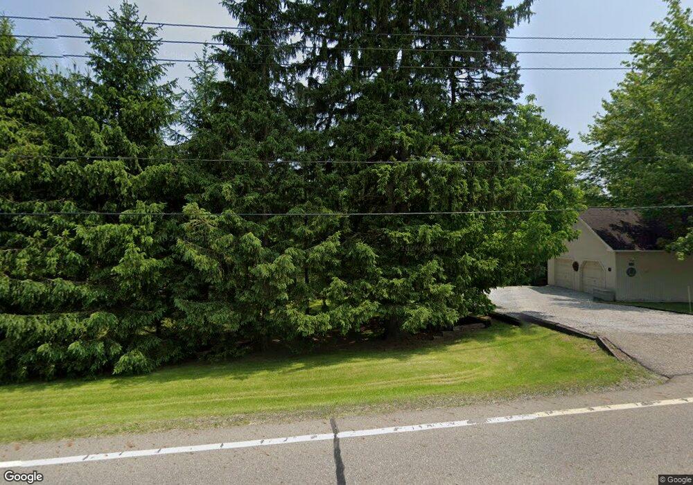
13979 Sperry Rd Newbury, OH 44065
Estimated Value: $271,000 - $376,000
3
Beds
2
Baths
1,746
Sq Ft
$177/Sq Ft
Est. Value
About This Home
This home is located at 13979 Sperry Rd, Newbury, OH 44065 and is currently estimated at $309,799, approximately $177 per square foot. 13979 Sperry Rd is a home located in Geauga County with nearby schools including St Anselm School.
Ownership History
Date
Name
Owned For
Owner Type
Purchase Details
Closed on
Mar 7, 2002
Sold by
Krone Christine L
Bought by
Anderson J Philip and Anderson Laura
Current Estimated Value
Home Financials for this Owner
Home Financials are based on the most recent Mortgage that was taken out on this home.
Original Mortgage
$142,000
Outstanding Balance
$59,192
Interest Rate
7.03%
Estimated Equity
$250,607
Purchase Details
Closed on
Jul 29, 2000
Sold by
Krone Christine L
Bought by
Krone Christine L and Christine L Krone Living Trust
Purchase Details
Closed on
Apr 24, 2000
Sold by
Farre Jacobs Ernest Christopher Elizabeth and Jacobs Elisabeth Farre
Bought by
Krone Christine L
Home Financials for this Owner
Home Financials are based on the most recent Mortgage that was taken out on this home.
Original Mortgage
$55,000
Interest Rate
6.87%
Purchase Details
Closed on
Sep 1, 1986
Bought by
Jacobs Ernest Christopher
Create a Home Valuation Report for This Property
The Home Valuation Report is an in-depth analysis detailing your home's value as well as a comparison with similar homes in the area
Home Values in the Area
Average Home Value in this Area
Purchase History
| Date | Buyer | Sale Price | Title Company |
|---|---|---|---|
| Anderson J Philip | $280,000 | Lawyers Title Ins Corp | |
| Krone Christine L | -- | -- | |
| Krone Christine L | $205,000 | Lawyers Title Ins Corp | |
| Jacobs Ernest Christopher | $107,000 | -- |
Source: Public Records
Mortgage History
| Date | Status | Borrower | Loan Amount |
|---|---|---|---|
| Open | Anderson J Philip | $142,000 | |
| Previous Owner | Krone Christine L | $55,000 | |
| Closed | Krone Christine L | $45,000 |
Source: Public Records
Tax History Compared to Growth
Tax History
| Year | Tax Paid | Tax Assessment Tax Assessment Total Assessment is a certain percentage of the fair market value that is determined by local assessors to be the total taxable value of land and additions on the property. | Land | Improvement |
|---|---|---|---|---|
| 2024 | $3,272 | $79,560 | $9,770 | $69,790 |
| 2023 | $3,272 | $79,560 | $9,770 | $69,790 |
| 2022 | $2,999 | $62,060 | $8,160 | $53,900 |
| 2021 | $2,989 | $62,060 | $8,160 | $53,900 |
| 2020 | $2,749 | $62,060 | $8,160 | $53,900 |
| 2019 | $3,348 | $54,640 | $8,160 | $46,480 |
| 2018 | $3,342 | $54,640 | $8,160 | $46,480 |
| 2017 | $3,348 | $54,640 | $8,160 | $46,480 |
| 2016 | $3,546 | $57,410 | $8,790 | $48,620 |
| 2015 | $3,455 | $57,410 | $8,790 | $48,620 |
| 2014 | $3,455 | $57,410 | $8,790 | $48,620 |
| 2013 | $3,032 | $57,410 | $8,790 | $48,620 |
Source: Public Records
Map
Nearby Homes
- 13655 Sperry Rd
- 8 Sperry Rd
- 13610 Sperry Rd
- 14525 Sperry Rd
- 14300 Watt Rd
- 14745 Sleepy Hollow Dr
- 8986 Fairmount Rd
- 9502 Winchester Valley
- 9613 Kim Dr
- 14545 Shire Ct
- 14957 Sperry Rd
- 13228 Boulder Glen Dr
- 10263 Wye Rd
- 14689 Clydesdale Trail
- 10685 Butternut Rd
- 12790 Heath Rd
- 10978 Fairmount Rd
- 10885 Scranton Woods Trail
- 9475 Mayfield Rd
- 8585 Carmichael Dr
- 13915 Sperry Rd
- 13999 Sperry Rd
- 9799 Fairmount Rd
- 13924 Sperry Rd
- 13900 Sperry Rd
- 9823 Fairmount Rd
- 9765 Fairmount Rd
- 9755 Fairmount Rd
- 9701 Fairmount Rd
- 13886 Sperry Rd
- 14071 Sperry Rd
- 9841 Fairmount Rd
- 9812 Fairmount Rd
- 9863 Fairmount Rd
- 9730 Fairmount Rd
- 9883 Fairmount Rd
- 9780 Fairmount Rd
- 9710 Fairmount Rd
- 9669 Fairmount Rd
- V/L Fairmount Rd
