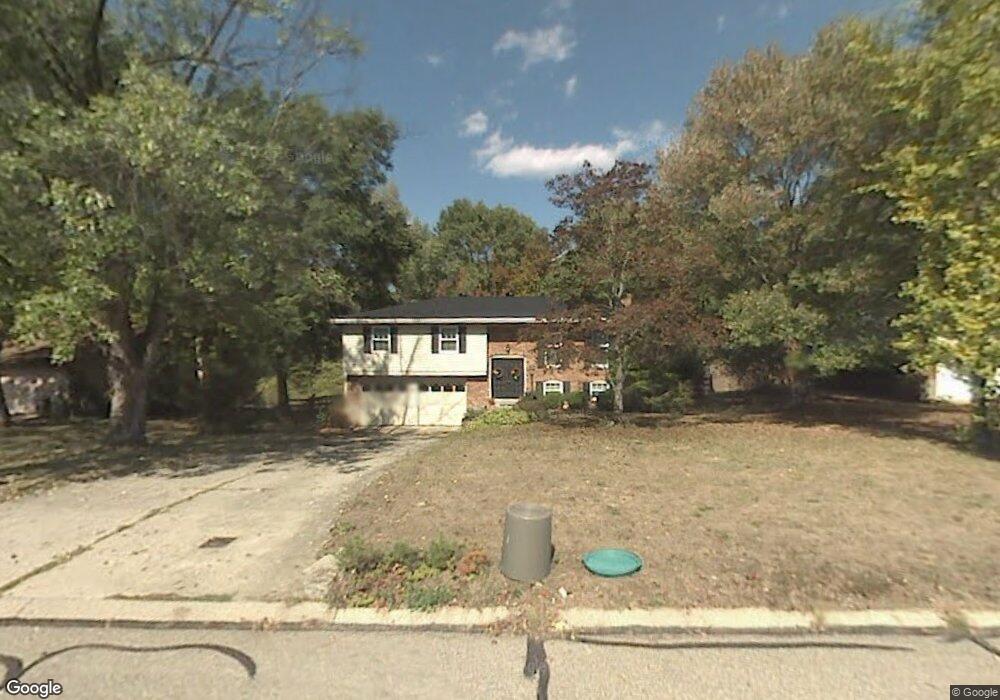
1398 Amesbury Dr Cincinnati, OH 45231
Winton Lake NeighborhoodEstimated Value: $247,521 - $326,000
3
Beds
2
Baths
1,716
Sq Ft
$176/Sq Ft
Est. Value
About This Home
This home is located at 1398 Amesbury Dr, Cincinnati, OH 45231 and is currently estimated at $302,630, approximately $176 per square foot. 1398 Amesbury Dr is a home located in Hamilton County with nearby schools including Mt Healthy High School and Central Montessori Academy.
Ownership History
Date
Name
Owned For
Owner Type
Purchase Details
Closed on
Oct 22, 2003
Sold by
Deshler Mary Pamela
Bought by
Odonnell John H
Current Estimated Value
Home Financials for this Owner
Home Financials are based on the most recent Mortgage that was taken out on this home.
Original Mortgage
$85,000
Interest Rate
6.23%
Mortgage Type
Unknown
Create a Home Valuation Report for This Property
The Home Valuation Report is an in-depth analysis detailing your home's value as well as a comparison with similar homes in the area
Home Values in the Area
Average Home Value in this Area
Purchase History
| Date | Buyer | Sale Price | Title Company |
|---|---|---|---|
| Odonnell John H | $145,000 | Classic Title Agency Inc |
Source: Public Records
Mortgage History
| Date | Status | Borrower | Loan Amount |
|---|---|---|---|
| Closed | Odonnell John H | $85,000 |
Source: Public Records
Tax History Compared to Growth
Tax History
| Year | Tax Paid | Tax Assessment Tax Assessment Total Assessment is a certain percentage of the fair market value that is determined by local assessors to be the total taxable value of land and additions on the property. | Land | Improvement |
|---|---|---|---|---|
| 2024 | $3,562 | $61,905 | $12,614 | $49,291 |
| 2023 | $3,383 | $61,905 | $12,614 | $49,291 |
| 2022 | $3,562 | $46,942 | $12,243 | $34,699 |
| 2021 | $3,466 | $46,942 | $12,243 | $34,699 |
| 2020 | $3,518 | $46,942 | $12,243 | $34,699 |
| 2019 | $3,084 | $38,476 | $10,035 | $28,441 |
| 2018 | $3,101 | $38,476 | $10,035 | $28,441 |
| 2017 | $2,942 | $38,476 | $10,035 | $28,441 |
| 2016 | $3,126 | $40,299 | $11,711 | $28,588 |
| 2015 | $3,151 | $40,299 | $11,711 | $28,588 |
| 2014 | $3,136 | $40,299 | $11,711 | $28,588 |
| 2013 | $3,231 | $42,420 | $12,327 | $30,093 |
Source: Public Records
Map
Nearby Homes
- 1503 Covered Bridge Rd
- 9731 Culpepper Ct
- 1559 Meredith Dr
- 10040 Daly Rd
- 1579 Meredith Dr
- 1050 Meredith Dr
- 1805 Miles Rd
- 9320 Rambler Place
- 1509 Adams Rd
- 65 Bayham Dr
- 5 Briarwood Ln
- 2 Brompton Ln
- 1559 Adams Rd
- 1662 Springdale Rd
- 10467 Mill Rd
- 10493 Mill Rd
- 8491 Daly Rd
- 10525 Mill Rd
- 22 Avenell Ln
- 1917 Springdale Rd
- 1402 Amesbury Dr
- 1392 Amesbury Dr
- 1386 Amesbury Dr
- 1389 Amesbury Dr
- 1410 Amesbury Dr
- 1401 Amesbury Dr
- 1380 Amesbury Dr
- 1415 Amesbury Dr
- 9920 Beau Ln
- 1383 Amesbury Dr
- 1409 Amesbury Dr
- 9915 Beau Ln
- 1374 Amesbury Dr
- 1377 Amesbury Dr
- 9912 Beau Ln
- 1371 Amesbury Dr
- 1368 Amesbury Dr
- 1474 Covered Bridge Rd
- 9904 Beau Ln
- 1418 Candlewick Dr