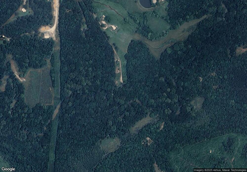
1399 Red Land Rd Franklin, GA 30217
Estimated Value: $128,000 - $222,000
2
Beds
1
Bath
960
Sq Ft
$188/Sq Ft
Est. Value
About This Home
This home is located at 1399 Red Land Rd, Franklin, GA 30217 and is currently estimated at $180,425, approximately $187 per square foot. 1399 Red Land Rd is a home located in Heard County with nearby schools including Heard County High School.
Ownership History
Date
Name
Owned For
Owner Type
Purchase Details
Closed on
Apr 5, 2007
Sold by
Not Provided
Bought by
Adams Barry N and Aleicia Runnells
Current Estimated Value
Purchase Details
Closed on
Aug 25, 2006
Sold by
Not Provided
Bought by
Scott Derrill G and Wendy Meacham
Purchase Details
Closed on
Mar 3, 2005
Sold by
Adams Peggy Diann
Bought by
Adams Barry N
Purchase Details
Closed on
Aug 1, 1989
Sold by
Miller B Thomas
Bought by
Adams Barry
Purchase Details
Closed on
Jan 1, 1901
Bought by
Miller B Thomas
Create a Home Valuation Report for This Property
The Home Valuation Report is an in-depth analysis detailing your home's value as well as a comparison with similar homes in the area
Home Values in the Area
Average Home Value in this Area
Purchase History
| Date | Buyer | Sale Price | Title Company |
|---|---|---|---|
| Adams Barry N | -- | -- | |
| Scott Derrill G | $28,000 | -- | |
| Adams Barry N | -- | -- | |
| Adams Barry | $12,500 | -- | |
| Miller B Thomas | -- | -- |
Source: Public Records
Tax History Compared to Growth
Tax History
| Year | Tax Paid | Tax Assessment Tax Assessment Total Assessment is a certain percentage of the fair market value that is determined by local assessors to be the total taxable value of land and additions on the property. | Land | Improvement |
|---|---|---|---|---|
| 2024 | $1,051 | $54,150 | $11,914 | $42,236 |
| 2023 | $1,096 | $54,509 | $9,928 | $44,581 |
| 2022 | $944 | $47,238 | $5,213 | $42,025 |
| 2021 | $770 | $37,061 | $5,213 | $31,848 |
| 2020 | $762 | $36,326 | $5,213 | $31,113 |
| 2019 | $762 | $36,326 | $5,213 | $31,113 |
| 2018 | $822 | $36,326 | $5,213 | $31,113 |
| 2017 | $770 | $36,106 | $6,244 | $29,862 |
| 2016 | $770 | $36,106 | $6,244 | $29,862 |
| 2015 | -- | $32,249 | $8,500 | $23,749 |
| 2014 | -- | $32,256 | $8,500 | $23,756 |
| 2013 | -- | $36,890 | $8,500 | $28,389 |
Source: Public Records
Map
Nearby Homes
- 11 River's Edge Ln Unit LOT 17
- 17 River's Edge Ln Unit LOT 14
- 0 Bevis Rd Parcel 5
- 0 Bevis Rd Parcel 4
- The Lambert Plan at Patterson Park
- The Bradford Plan at Patterson Park
- The Millie Plan at Patterson Park
- The Coleman Plan at Patterson Park
- The Northern Hills Plan at Patterson Park
- The Nelson Plan at Patterson Park
- 2176 Franklin Pkwy
- 125 Patterson Dr
- 155 Patterson Dr
- 25 Patterson Dr
- 105 Patterson Dr
- 0 Young Rd Unit 10579299
- 23 Rivers Edge Ln Unit LOT 11
- 21 Rivers Edge Ln Unit LOT 12
- 22 Rivers Edge Ln Unit LOT 7
- 12 Rivers Edge Ln Unit LOT 2
- 1405 Red Land Rd
- 1225 Red Land Rd
- 1221 Us Hwy 27 Lot F
- 0 Rollin Mill - Tracts 5 & 6 Unit 10568833
- 449.89 AC Hwy 100 Hwy
- 1127 Red Land Rd
- 1127 Red Land Rd
- 1061 Red Land Rd
- 1009 Red Land Rd
- 1216 Red Land Rd
- 0 Brandenburg Rd Unit 8434643
- 00 Hwy 27
- 5451 Us Hwy 27
- 9 Acres Notnomis Rd
- 4 Acres Notnomis Rd
- 0 W Charlie B Johnson Unit 8216791
- 264 Deer Meadow Unit 2 TH
- 0 Bailey Rd Unit 8057687
- 0 Acres Straylott Rd Unit 110+/-ac 8139765
- 264 Deer Meadow
