13998 State Route 21 de Soto, MO 63020
Estimated Value: $255,443 - $330,000
--
Bed
--
Bath
5,809
Sq Ft
$49/Sq Ft
Est. Value
About This Home
This home is located at 13998 State Route 21, de Soto, MO 63020 and is currently estimated at $286,481, approximately $49 per square foot. 13998 State Route 21 is a home located in Jefferson County with nearby schools including De Soto Senior High School.
Ownership History
Date
Name
Owned For
Owner Type
Purchase Details
Closed on
Sep 11, 2024
Sold by
William M Knorpp Sr Revocable Trust and Wheelis Justin M
Bought by
Virginia M Wheelis Revocable Trust and Wheelis
Current Estimated Value
Purchase Details
Closed on
May 20, 2005
Sold by
Knorpp William M and Mamie E Knorpp Revocable Trust
Bought by
Knorpp William M and Knorpp Donna J
Create a Home Valuation Report for This Property
The Home Valuation Report is an in-depth analysis detailing your home's value as well as a comparison with similar homes in the area
Home Values in the Area
Average Home Value in this Area
Purchase History
| Date | Buyer | Sale Price | Title Company |
|---|---|---|---|
| Virginia M Wheelis Revocable Trust | -- | None Listed On Document | |
| Virginia M Wheelis Revocable Trust | -- | None Listed On Document | |
| Knorpp William M | -- | None Available |
Source: Public Records
Tax History Compared to Growth
Tax History
| Year | Tax Paid | Tax Assessment Tax Assessment Total Assessment is a certain percentage of the fair market value that is determined by local assessors to be the total taxable value of land and additions on the property. | Land | Improvement |
|---|---|---|---|---|
| 2025 | $1,489 | $23,500 | $1,500 | $22,000 |
| 2024 | $1,489 | $21,500 | $1,500 | $20,000 |
| 2023 | $1,489 | $21,500 | $1,500 | $20,000 |
| 2022 | $1,484 | $21,500 | $1,500 | $20,000 |
| 2021 | $1,482 | $21,500 | $1,500 | $20,000 |
| 2020 | $1,379 | $19,400 | $1,200 | $18,200 |
| 2019 | $1,377 | $19,400 | $1,200 | $18,200 |
| 2018 | $0 | $19,400 | $1,200 | $18,200 |
| 2017 | $1,307 | $19,400 | $1,200 | $18,200 |
| 2016 | $1,207 | $17,613 | $1,213 | $16,400 |
| 2015 | $1,088 | $17,613 | $1,213 | $16,400 |
| 2013 | $1,088 | $17,100 | $1,200 | $15,900 |
Source: Public Records
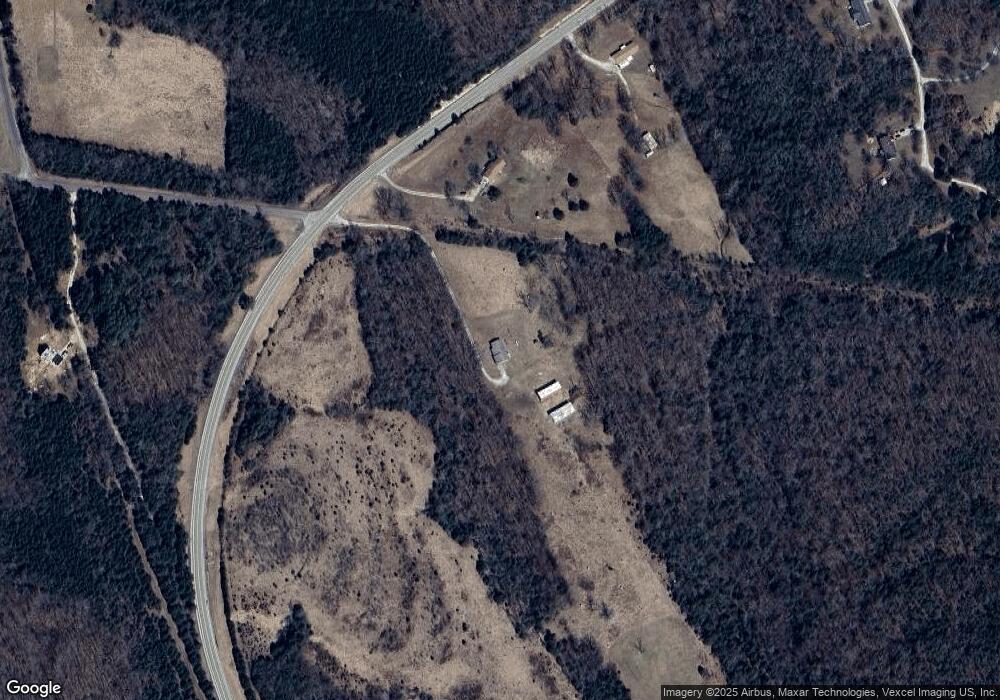
Map
Nearby Homes
- 1805 Greg Dr
- 430 Dodson Ln
- 155 Lot Hill Side Rd
- 13677 Klondike Rd
- 13659 Klondike Rd
- 6-637 Easy
- 13761 Klondike Rd
- 2151 Lake Park Trail
- 633 Easy St
- 106 River Bluff Trail
- 211 Easy St
- 1051 S Lakeview Dr
- 0 Section 5 Lots 10 & 11 Unit MAR24012677
- 1029 S Lakeview Dr
- 10 Acres Off Hawkwood Trail
- 499 Hillside Rd
- 407 Trenton Dr
- Lot 371 Trenton Dr
- 2126 Big River Trail
- 6-115 Constitution Ave
- 0 Big River Heights Rd Unit 16064027
- 0 Big River Heights Rd
- 0 Big River Heights Rd Unit 21020549
- 0 Big River Heights Rd Unit 19055306
- 13990 Missouri 21
- 13990 State Route 21
- 13982 State Route 21
- 5706 Grassy Ln
- 5712 Grassy Ln
- 5700 Grassy Ln
- 5718 Grassy Ln
- 14025 Vineland Rd
- 5707 Grassy Ln
- 753 Dodson Ln
- 5714 Big River Heights Rd
- 13964 State Route 21
- 14367 Vineland Rd
- 0 Perkins Rd Unit 10003997
- 14361 Vineland Rd
- 14384 Vineland Rd