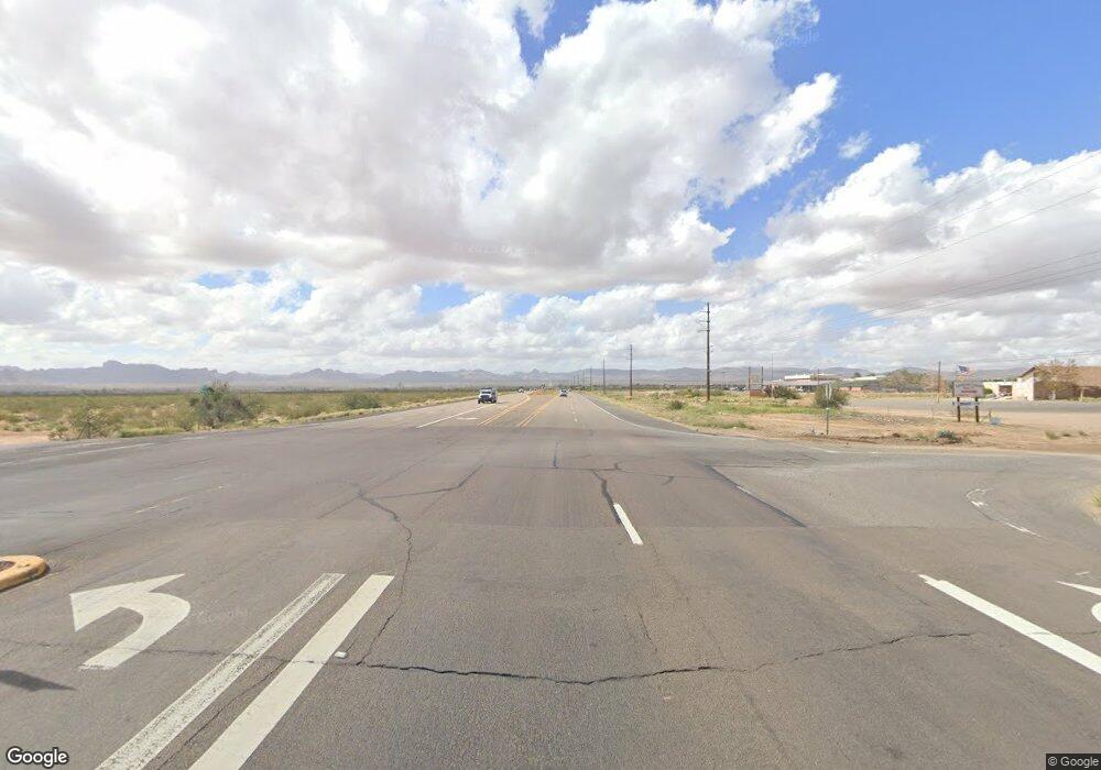
14.78 Ac Us Highway 68 Golden Valley, AZ 86413
Estimated Value: $130,000 - $162,000
--
Bed
--
Bath
--
Sq Ft
14.76
Acres
About This Home
This home is located at 14.78 Ac Us Highway 68, Golden Valley, AZ 86413 and is currently estimated at $146,000. 14.78 Ac Us Highway 68 is a home located in Mohave County with nearby schools including Lee Williams High School.
Ownership History
Date
Name
Owned For
Owner Type
Purchase Details
Closed on
Dec 21, 2024
Sold by
Mcnulty Family Trust and Mcnulty Michael F
Bought by
Golden Valley Re Development Llc
Current Estimated Value
Home Financials for this Owner
Home Financials are based on the most recent Mortgage that was taken out on this home.
Original Mortgage
$111,350
Interest Rate
6.63%
Mortgage Type
Seller Take Back
Purchase Details
Closed on
May 15, 2019
Sold by
Castle Rock Holdings Llc
Bought by
Mcnulty Family Trust
Purchase Details
Closed on
May 4, 2018
Sold by
Mcnulty Michael F
Bought by
Castle Rock Holdings Llc
Home Financials for this Owner
Home Financials are based on the most recent Mortgage that was taken out on this home.
Original Mortgage
$46,800
Interest Rate
4.4%
Mortgage Type
Unknown
Purchase Details
Closed on
Jul 10, 2013
Sold by
Mcnulty Michael F
Bought by
Mcnulty Michael F and Mcnulty Family Trust
Create a Home Valuation Report for This Property
The Home Valuation Report is an in-depth analysis detailing your home's value as well as a comparison with similar homes in the area
Home Values in the Area
Average Home Value in this Area
Purchase History
| Date | Buyer | Sale Price | Title Company |
|---|---|---|---|
| Golden Valley Re Development Llc | $131,000 | Premier Title Agency | |
| Mcnulty Family Trust | $49,352 | Accommodation | |
| Castle Rock Holdings Llc | $56,500 | Wfg National Title Insurance | |
| Mcnulty Michael F | -- | None Available |
Source: Public Records
Mortgage History
| Date | Status | Borrower | Loan Amount |
|---|---|---|---|
| Previous Owner | Golden Valley Re Development Llc | $111,350 | |
| Previous Owner | Castle Rock Holdings Llc | $46,800 |
Source: Public Records
Tax History Compared to Growth
Tax History
| Year | Tax Paid | Tax Assessment Tax Assessment Total Assessment is a certain percentage of the fair market value that is determined by local assessors to be the total taxable value of land and additions on the property. | Land | Improvement |
|---|---|---|---|---|
| 2026 | -- | -- | -- | -- |
| 2025 | $1,020 | $14,964 | $0 | $0 |
| 2024 | $1,020 | $13,100 | $0 | $0 |
| 2023 | $1,020 | $15,626 | $0 | $0 |
| 2022 | $944 | $15,626 | $0 | $0 |
| 2021 | $947 | $10,822 | $0 | $0 |
| 2019 | $863 | $9,857 | $0 | $0 |
| 2018 | $875 | $9,857 | $0 | $0 |
| 2017 | $811 | $9,857 | $0 | $0 |
| 2016 | $780 | $9,857 | $0 | $0 |
| 2015 | $836 | $5,825 | $0 | $0 |
Source: Public Records
Map
Nearby Homes
- 1074 Ligurta Rd
- 6671 Brook Dr
- 6510 Nielsen Way
- TBD Hwy 68
- 3456 Lochiel Rd
- 6614 W Brook Dr
- 6614 Brook Dr
- 397 S Lochiel Rd
- 407 S Lochiel Rd
- 1205 Teddy Roosevelt Rd
- 11.97 AC Mormon Flat Rd
- n/a Mormon Flat Rd
- Lot 10 Stewart Mountain Rd
- 3587 N Horse Mesa Rd
- 016T W Claim Dr
- 6064 W Chino Dr
- 016S W Claim Dr
- 6717 Nielsen Way
- 6676 W Rosario Ct
- 10 AC Colorado Rd
- 14.76 Acre Az-68 --
- 6337 W Hwy 68
- 0000 W Supai Dr
- 3.64 Acres Us Hwy 68 --
- 3.64 Acres Us Hwy 68 --
- 3.64 Acres Us Hwy 68 --
- 3.64 Acres Highway 68 --
- 3.64 Acres Us Hwy 68
- 000 La Osa Dr
- 000 La Osa Road 63a
- 00000 N La Osa Rd
- 0000 S La Osa Rd
- 6300 W Supai Dr
- 0001 Ligurta Rd
- 000 Ligurta Rd
- 6389 W Supai Dr
- 6373 W Supai Dr
- 6405 W Supai Dr
- 6405 W Supai Dr Unit 22
- 6405 W Supai Dr
