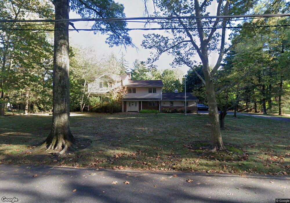
14 Aberdeen Rd Scotch Plains, NJ 07076
Estimated Value: $971,401 - $1,532,000
--
Bed
--
Bath
3,795
Sq Ft
$342/Sq Ft
Est. Value
About This Home
This home is located at 14 Aberdeen Rd, Scotch Plains, NJ 07076 and is currently estimated at $1,297,850, approximately $341 per square foot. 14 Aberdeen Rd is a home located in Union County with nearby schools including J. Ackerman Coles Elementary School, Terrill Middle School, and Scotch Plains-Fanwood High School.
Ownership History
Date
Name
Owned For
Owner Type
Purchase Details
Closed on
Aug 28, 1997
Sold by
Hartmann Evelyne and Hartman Evelyne
Bought by
Walker Dwight A and Walker Camille D
Current Estimated Value
Home Financials for this Owner
Home Financials are based on the most recent Mortgage that was taken out on this home.
Original Mortgage
$280,000
Interest Rate
7.41%
Create a Home Valuation Report for This Property
The Home Valuation Report is an in-depth analysis detailing your home's value as well as a comparison with similar homes in the area
Home Values in the Area
Average Home Value in this Area
Purchase History
| Date | Buyer | Sale Price | Title Company |
|---|---|---|---|
| Walker Dwight A | $350,000 | -- |
Source: Public Records
Mortgage History
| Date | Status | Borrower | Loan Amount |
|---|---|---|---|
| Previous Owner | Walker Dwight A | $280,000 |
Source: Public Records
Tax History Compared to Growth
Tax History
| Year | Tax Paid | Tax Assessment Tax Assessment Total Assessment is a certain percentage of the fair market value that is determined by local assessors to be the total taxable value of land and additions on the property. | Land | Improvement |
|---|---|---|---|---|
| 2025 | $25,019 | $212,600 | $65,200 | $147,400 |
| 2024 | $24,281 | $212,600 | $65,200 | $147,400 |
| 2023 | $24,281 | $212,600 | $65,200 | $147,400 |
| 2022 | $23,992 | $212,600 | $65,200 | $147,400 |
| 2021 | $23,952 | $212,600 | $65,200 | $147,400 |
| 2020 | $23,837 | $212,600 | $65,200 | $147,400 |
| 2019 | $23,660 | $212,600 | $65,200 | $147,400 |
| 2018 | $23,263 | $212,600 | $65,200 | $147,400 |
| 2017 | $22,746 | $212,600 | $65,200 | $147,400 |
| 2016 | $22,308 | $212,600 | $65,200 | $147,400 |
| 2015 | $21,942 | $212,600 | $65,200 | $147,400 |
| 2014 | $21,220 | $212,600 | $65,200 | $147,400 |
Source: Public Records
Map
Nearby Homes
- 1232 Sunnyfield Ln
- 1224 Sunnyfield Ln
- 19 Highlander Dr
- 939-45 Post Dr
- 49 Highlander Dr
- 1158 Woodmere Place
- 1380 Terrill Rd
- 848 Adam Cir
- 1009 Mayfair Way
- 1191 Cooper Rd
- 32 Gere Place
- 1627 Prospect Ave Unit 47
- 810 Leland Ave Unit 14
- 1231 Rahway Rd
- 842 Berkeley Ave
- 714 Dixie Ln
- 771 Ravine Rd
- 767 Ravine Rd Unit 73
- 481 Terrill Rd
- 1138-40 Gresham Rd