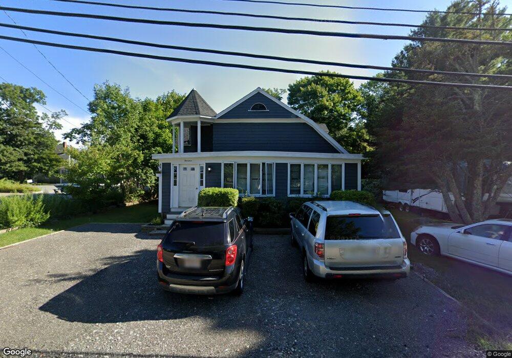
14 Adamsville Rd Westport, MA 02790
Westport Point NeighborhoodEstimated Value: $564,551 - $780,000
3
Beds
3
Baths
1,600
Sq Ft
$390/Sq Ft
Est. Value
About This Home
This home is located at 14 Adamsville Rd, Westport, MA 02790 and is currently estimated at $623,388, approximately $389 per square foot. 14 Adamsville Rd is a home located in Bristol County with nearby schools including Alice A. Macomber Primary School, Westport Elementary School, and Westport Middle-High School.
Ownership History
Date
Name
Owned For
Owner Type
Purchase Details
Closed on
Oct 25, 2006
Sold by
Kirby Marcia F and Kirby Michael G
Bought by
Stawicki Jacob R and Kirby Marcia F
Current Estimated Value
Home Financials for this Owner
Home Financials are based on the most recent Mortgage that was taken out on this home.
Original Mortgage
$180,000
Outstanding Balance
$108,080
Interest Rate
6.48%
Mortgage Type
Purchase Money Mortgage
Estimated Equity
$515,308
Create a Home Valuation Report for This Property
The Home Valuation Report is an in-depth analysis detailing your home's value as well as a comparison with similar homes in the area
Home Values in the Area
Average Home Value in this Area
Purchase History
| Date | Buyer | Sale Price | Title Company |
|---|---|---|---|
| Stawicki Jacob R | -- | -- |
Source: Public Records
Mortgage History
| Date | Status | Borrower | Loan Amount |
|---|---|---|---|
| Open | Stawicki Jacob R | $180,000 | |
| Previous Owner | Stawicki Jacob R | $70,000 |
Source: Public Records
Tax History Compared to Growth
Tax History
| Year | Tax Paid | Tax Assessment Tax Assessment Total Assessment is a certain percentage of the fair market value that is determined by local assessors to be the total taxable value of land and additions on the property. | Land | Improvement |
|---|---|---|---|---|
| 2025 | $2,987 | $401,000 | $158,100 | $242,900 |
| 2024 | $2,983 | $385,900 | $146,500 | $239,400 |
| 2023 | $2,548 | $312,200 | $133,500 | $178,700 |
| 2022 | $2,468 | $291,000 | $133,500 | $157,500 |
| 2021 | $2,403 | $278,800 | $121,300 | $157,500 |
| 2020 | $2,265 | $268,700 | $111,200 | $157,500 |
| 2019 | $2,143 | $259,100 | $111,200 | $147,900 |
| 2018 | $2,118 | $259,200 | $117,800 | $141,400 |
| 2017 | $3,991 | $258,000 | $120,100 | $137,900 |
| 2016 | $2,031 | $256,800 | $124,600 | $132,200 |
| 2015 | $1,664 | $209,800 | $126,900 | $82,900 |
Source: Public Records
Map
Nearby Homes
- 101 Adamsville Rd
- 837 Main Rd
- 8 Village Way
- 7 Village Way
- 15 Village Way
- 920 Drift Rd
- 225 Hixbridge Rd
- 1346 Main Rd Unit B
- 8 Strawberry Ln
- 118 Charlotte White Rd Extension
- 0 Hidden Glen Ln
- 978 Sodom Rd
- 17 Quail Trail
- 118 Charlotte White Rd
- 1580 Main Rd
- 99 Sylvia Ln
- Lot 0 Marcotte
- 184 Field Stone Ln
- 73 White Oak Run
- 47 Fallon Dr
- 5 Adamsville Rd
- 923 Main Rd
- Lot 4 Adamsville Rd
- 0 Adamsville Rd
- 937 Main Rd
- 911 Main Rd Unit A
- 911 Main Rd
- 916 Main Rd
- 904 Main Rd
- 47 Adamsville Rd
- 894 Main Rd
- 38 Adamsville Rd
- 38 Adamsville Rd
- 0 Stonewall Ct
- 918 Main Rd
- 971 Main Rd
- 66 Adamsville Rd
- 977 Main Rd
- 977 Main Rd Unit 206
- 977 Main Rd Unit 207