14 Andersen Rd Raymond, ME 04071
Estimated Value: $468,000 - $639,000
3
Beds
2
Baths
1,654
Sq Ft
$310/Sq Ft
Est. Value
About This Home
This home is located at 14 Andersen Rd, Raymond, ME 04071 and is currently estimated at $512,261, approximately $309 per square foot. 14 Andersen Rd is a home located in Cumberland County with nearby schools including Raymond Elementary School, Jordan-Small Middle School, and Windham High School.
Ownership History
Date
Name
Owned For
Owner Type
Purchase Details
Closed on
Feb 8, 2022
Sold by
Bisnette John
Bought by
Johnson Donald
Current Estimated Value
Purchase Details
Closed on
Aug 13, 2018
Sold by
Kraft Margaret M
Bought by
Bisnette John
Purchase Details
Closed on
Oct 14, 2011
Sold by
Int Sebago Lake
Bought by
Heim Richard J and Heim Martha A
Home Financials for this Owner
Home Financials are based on the most recent Mortgage that was taken out on this home.
Original Mortgage
$84,000
Interest Rate
4.25%
Mortgage Type
Purchase Money Mortgage
Create a Home Valuation Report for This Property
The Home Valuation Report is an in-depth analysis detailing your home's value as well as a comparison with similar homes in the area
Home Values in the Area
Average Home Value in this Area
Purchase History
| Date | Buyer | Sale Price | Title Company |
|---|---|---|---|
| Johnson Donald | $350,000 | None Available | |
| Bisnette John | -- | -- | |
| Heim Richard J | -- | -- |
Source: Public Records
Mortgage History
| Date | Status | Borrower | Loan Amount |
|---|---|---|---|
| Previous Owner | Heim Richard J | $84,000 |
Source: Public Records
Tax History
| Year | Tax Paid | Tax Assessment Tax Assessment Total Assessment is a certain percentage of the fair market value that is determined by local assessors to be the total taxable value of land and additions on the property. | Land | Improvement |
|---|---|---|---|---|
| 2024 | $4,223 | $245,500 | $99,100 | $146,400 |
| 2023 | $3,903 | $245,500 | $99,100 | $146,400 |
| 2022 | $3,683 | $245,500 | $99,100 | $146,400 |
| 2021 | $3,462 | $245,500 | $99,100 | $146,400 |
| 2019 | $3,302 | $245,500 | $99,100 | $146,400 |
| 2018 | $3,093 | $245,500 | $99,100 | $146,400 |
| 2017 | $3,020 | $245,500 | $99,100 | $146,400 |
| 2016 | $2,971 | $245,500 | $99,100 | $146,400 |
| 2015 | $2,934 | $245,500 | $99,100 | $146,400 |
| 2014 | $2,897 | $245,500 | $99,100 | $146,400 |
| 2013 | $2,762 | $245,500 | $99,100 | $146,400 |
Source: Public Records
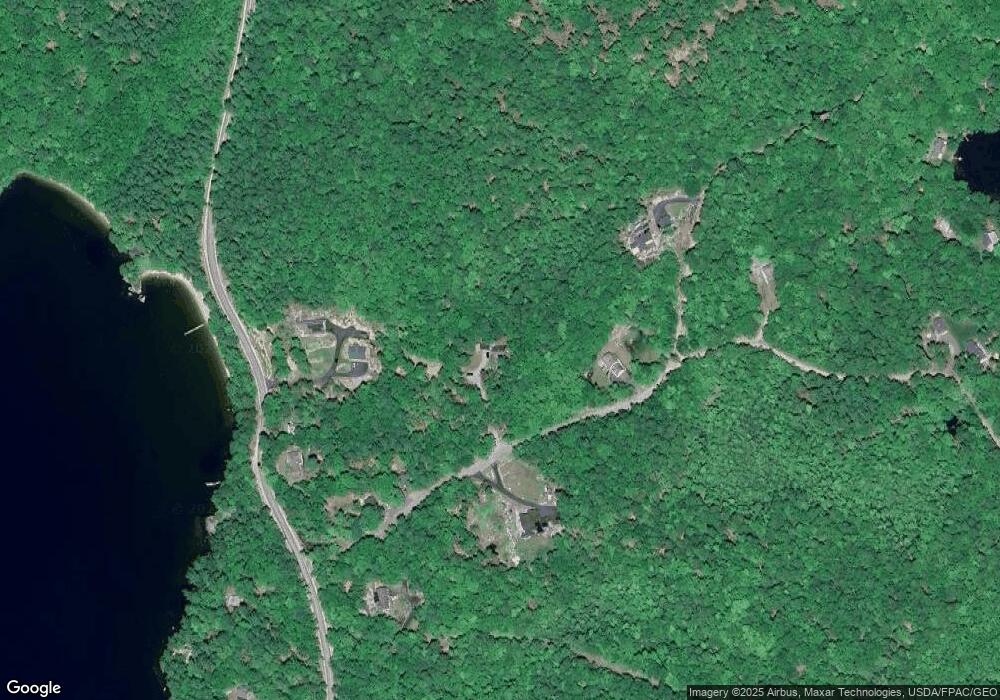
Map
Nearby Homes
- 361 Cape Rd
- 17 Blueberry Point Rd
- 7 Wild Acres Rd
- 79 Whites Point Rd
- 72 Sand Beach Rd
- 1042 Roosevelt Trail
- 1112 Roosevelt Trail Unit 8
- 1083 Roosevelt Trail
- 194 Hearthside Rd
- 16 Peterson Rd
- 11 Clover Ln
- 18 Hillside Dr
- 17 Murray Dr
- 20 Bittersweet Way
- 142 Lakewood Rd
- 99 Enterprise Dr
- 1569 Roosevelt Trail
- lot #8 Bedrock Terrace
- 1525 Roosevelt Trail
- 34 Stoneridge Dr
- 14 Andersen Rd
- 13 Andersen Rd
- 8 Andersen Rd
- 8 Anderson Rd
- 6 Anderson Rd
- 24 Andersen Rd
- 24 Andersen Rd
- 52 Island Cove Rd
- 4 Forest Rd
- Lot2b Andersen
- Lot 2 B Andersen Rd
- 0 Anderson Rd
- 346 Cape Rd
- 342 Cape Rd
- Lot 1 Anderson Rd
- 340 Cape Rd
- Lot 1 Island Cove Rd
- 0 Island Cove Dr
- 0 Island Cove Rd
- 30 Andersen Rd
Your Personal Tour Guide
Ask me questions while you tour the home.