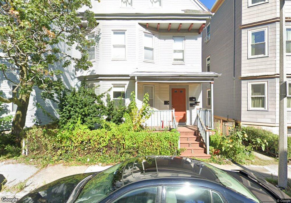
14 Anson St Jamaica Plain, MA 02130
Jamaica Plain NeighborhoodEstimated Value: $1,050,000 - $1,182,736
7
Beds
2
Baths
2,370
Sq Ft
$463/Sq Ft
Est. Value
About This Home
This home is located at 14 Anson St, Jamaica Plain, MA 02130 and is currently estimated at $1,096,684, approximately $462 per square foot. 14 Anson St is a home located in Suffolk County with nearby schools including The Croft School - Jamaica Plain and Neighborhood School.
Ownership History
Date
Name
Owned For
Owner Type
Purchase Details
Closed on
Jul 26, 2006
Sold by
Gegeshidze George and Gegeshidze Giorgi
Bought by
Gegeshidze Ketevan
Current Estimated Value
Purchase Details
Closed on
Sep 13, 1993
Sold by
Duggan John J Est
Bought by
Lowe David E and Lowe Judith A
Home Financials for this Owner
Home Financials are based on the most recent Mortgage that was taken out on this home.
Original Mortgage
$64,600
Interest Rate
7.21%
Mortgage Type
Purchase Money Mortgage
Create a Home Valuation Report for This Property
The Home Valuation Report is an in-depth analysis detailing your home's value as well as a comparison with similar homes in the area
Home Values in the Area
Average Home Value in this Area
Purchase History
| Date | Buyer | Sale Price | Title Company |
|---|---|---|---|
| Gegeshidze Ketevan | -- | -- | |
| Lowe David E | $20,000 | -- |
Source: Public Records
Mortgage History
| Date | Status | Borrower | Loan Amount |
|---|---|---|---|
| Previous Owner | Lowe David E | $207,300 | |
| Previous Owner | Lowe David E | $208,000 | |
| Previous Owner | Lowe David E | $100,000 | |
| Previous Owner | Lowe David E | $64,600 |
Source: Public Records
Tax History Compared to Growth
Tax History
| Year | Tax Paid | Tax Assessment Tax Assessment Total Assessment is a certain percentage of the fair market value that is determined by local assessors to be the total taxable value of land and additions on the property. | Land | Improvement |
|---|---|---|---|---|
| 2025 | $11,401 | $984,500 | $315,200 | $669,300 |
| 2024 | $10,609 | $973,300 | $326,800 | $646,500 |
| 2023 | $10,453 | $973,300 | $326,800 | $646,500 |
| 2022 | $9,893 | $909,300 | $305,300 | $604,000 |
| 2021 | $9,239 | $865,900 | $290,700 | $575,200 |
| 2020 | $8,676 | $821,600 | $252,500 | $569,100 |
| 2019 | $8,244 | $782,200 | $195,100 | $587,100 |
| 2018 | $7,452 | $711,100 | $195,100 | $516,000 |
| 2017 | $7,531 | $711,100 | $195,100 | $516,000 |
| 2016 | $6,984 | $634,900 | $195,100 | $439,800 |
| 2015 | $6,599 | $544,900 | $182,400 | $362,500 |
| 2014 | $5,841 | $464,300 | $182,400 | $281,900 |
Source: Public Records
Map
Nearby Homes
- 5 View South Ave Unit 1
- 9-11 Boynton St Unit 2
- 96 Jamaica St
- 16 Mcbride St Unit 1
- 26 Tower St
- 3531 Washington St Unit 316
- 3531 Washington St Unit 411
- 3531 Washington St Unit 203
- 3531 Washington St Unit 419
- 3531 Washington St Unit 507
- 3531 Washington St Unit 206
- 41 Jamaica St
- 10 Stonley Rd Unit 102
- 1 Catenaccia Way Unit 47
- 58 Weld Hill St Unit 2
- 55 South St
- 55 South St Unit 3
- 27-29 Ballard St
- 69 Williams St Unit 202
- 44 Newbern St
- 14 Anson St Unit 3
- 16 Anson St Unit 18
- 18 Anson St Unit 1
- 12 Anson St Unit 3
- 12 Anson St Unit 2
- 12 Anson St Unit 1
- 12 Anson St
- 15 Spalding St Unit 3
- 15 Spalding St Unit 2
- 15 Spalding St Unit 1
- 13 Spalding St
- 13 Spalding St Unit 2
- 17 Spalding St Unit 3
- 17 Spalding St Unit 2
- 17 Spalding St
- 11 Spalding St
- 11 Spalding St
- 11 Spalding St Unit 3
- 11 Spalding St Unit 1
- 11 Spalding St Unit 2