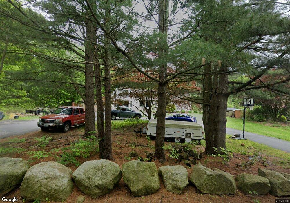
14 Apple Tree Ln Johnston, RI 02919
Bishop Heights NeighborhoodEstimated Value: $606,000 - $668,000
5
Beds
3
Baths
4,202
Sq Ft
$152/Sq Ft
Est. Value
About This Home
This home is located at 14 Apple Tree Ln, Johnston, RI 02919 and is currently estimated at $640,324, approximately $152 per square foot. 14 Apple Tree Ln is a home located in Providence County with nearby schools including Johnston Senior High School and St Rocco School.
Ownership History
Date
Name
Owned For
Owner Type
Purchase Details
Closed on
Jul 21, 2010
Sold by
Tanguay Ronald and Johnson-Tanguay Linda M
Bought by
Larangeira David J and Larangeira Melanie
Current Estimated Value
Home Financials for this Owner
Home Financials are based on the most recent Mortgage that was taken out on this home.
Original Mortgage
$229,735
Interest Rate
4.76%
Mortgage Type
Purchase Money Mortgage
Purchase Details
Closed on
Aug 20, 1990
Sold by
Marcotte Kenneth A
Bought by
R I Solid Waste Mgmnt
Create a Home Valuation Report for This Property
The Home Valuation Report is an in-depth analysis detailing your home's value as well as a comparison with similar homes in the area
Home Values in the Area
Average Home Value in this Area
Purchase History
| Date | Buyer | Sale Price | Title Company |
|---|---|---|---|
| Larangeira David J | $224,700 | -- | |
| Larangeira David J | $224,700 | -- | |
| R I Solid Waste Mgmnt | $238,000 | -- |
Source: Public Records
Mortgage History
| Date | Status | Borrower | Loan Amount |
|---|---|---|---|
| Open | R I Solid Waste Mgmnt | $224,900 | |
| Closed | R I Solid Waste Mgmnt | $229,735 |
Source: Public Records
Map
Nearby Homes
- 3 Central Ave
- 0 Upper Farm Way Unit 1403839
- 0 Upper Farm Way Unit 1402526
- 0 Upper Farm Way Unit 1402528
- 587 Central Ave
- 79 Taylor Rd
- 12 Alvina Dr
- 250 Fountain Ave
- 208 Simmonsville Ave
- 0 Atwood Ave
- 129 Simmonsville Ave
- 15 Anita Rd
- 7 Taylor Rd
- 3 Belfield Dr Unit 1337601
- 2073 Plainfield Pike
- 2207 Hartford Ave
- 4 Belfield Dr Unit 1337603
- 0 Autumn Dr
- 2 Reservoir Ave
- 19 Hilton Dr
- 16 Apple Tree Ln
- 12 Apple Tree Ln
- 9 Apple Tree Ln
- 18 Apple Tree Ln
- 734 Central Ave
- 732 Central Ave
- 20 Apple Tree Ln
- 748 Central Ave
- 7 1/2 Apple Tree Ln
- 7 Apple Tree Ln
- 728 Central Ave
- 8 Apple Tree Ln
- 733 Central Ave
- 5 Apple Tree Ln
- 731 Central Ave
- 735 Central Ave
- 726 Central Ave
- 735 Central Ave
- 3 Apple Tree Ln
- 6 Apple Tree Ln
Your Personal Tour Guide
Ask me questions while you tour the home.