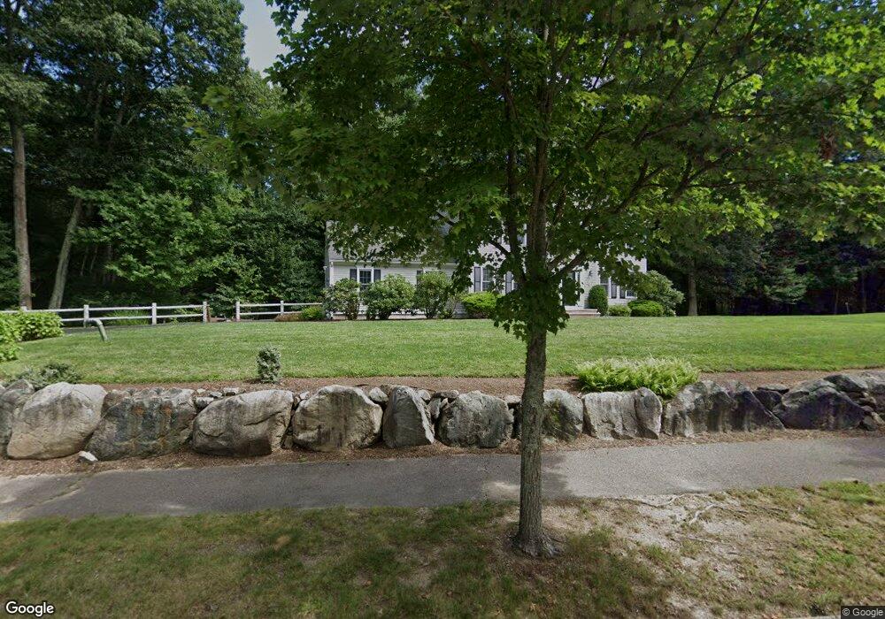
14 Applewood Rd Norfolk, MA 02056
Estimated Value: $838,000 - $1,072,000
4
Beds
3
Baths
2,360
Sq Ft
$399/Sq Ft
Est. Value
About This Home
This home is located at 14 Applewood Rd, Norfolk, MA 02056 and is currently estimated at $941,313, approximately $398 per square foot. 14 Applewood Rd is a home located in Norfolk County with nearby schools including H. Olive Day School, Freeman-Kennedy School, and Woodside Montessori Academy.
Ownership History
Date
Name
Owned For
Owner Type
Purchase Details
Closed on
Dec 13, 2023
Sold by
Fiddes Allan R and Fiddes Heather M
Bought by
Fah Ft and Fiddes
Current Estimated Value
Purchase Details
Closed on
Aug 8, 2003
Sold by
Intoccia Dev Corp
Bought by
Fiddes Allan R and Fiddes Heather
Home Financials for this Owner
Home Financials are based on the most recent Mortgage that was taken out on this home.
Original Mortgage
$322,700
Interest Rate
5.28%
Mortgage Type
Purchase Money Mortgage
Create a Home Valuation Report for This Property
The Home Valuation Report is an in-depth analysis detailing your home's value as well as a comparison with similar homes in the area
Home Values in the Area
Average Home Value in this Area
Purchase History
| Date | Buyer | Sale Price | Title Company |
|---|---|---|---|
| Fah Ft | -- | None Available | |
| Fiddes Allan R | $515,220 | -- |
Source: Public Records
Mortgage History
| Date | Status | Borrower | Loan Amount |
|---|---|---|---|
| Previous Owner | Fiddes Allan R | $295,000 | |
| Previous Owner | Fiddes Allan R | $322,700 | |
| Previous Owner | Fiddes Allan R | $166,759 |
Source: Public Records
Tax History Compared to Growth
Tax History
| Year | Tax Paid | Tax Assessment Tax Assessment Total Assessment is a certain percentage of the fair market value that is determined by local assessors to be the total taxable value of land and additions on the property. | Land | Improvement |
|---|---|---|---|---|
| 2025 | $11,510 | $720,700 | $243,600 | $477,100 |
| 2024 | $11,221 | $720,700 | $243,600 | $477,100 |
| 2023 | $10,634 | $648,000 | $243,600 | $404,400 |
| 2022 | $9,959 | $547,200 | $228,200 | $319,000 |
| 2021 | $9,619 | $534,700 | $221,600 | $313,100 |
| 2020 | $9,648 | $517,600 | $201,800 | $315,800 |
| 2019 | $9,295 | $508,200 | $201,800 | $306,400 |
| 2018 | $8,943 | $480,300 | $201,800 | $278,500 |
| 2017 | $8,808 | $483,400 | $201,800 | $281,600 |
| 2016 | $8,789 | $486,100 | $209,500 | $276,600 |
| 2015 | $8,417 | $476,600 | $196,900 | $279,700 |
| 2014 | $8,248 | $473,200 | $196,900 | $276,300 |
Source: Public Records
Map
Nearby Homes
- 27 Whichita Rd
- 3 Massachusetts Ave
- 23 Algonquin Rd
- 29 Wildwood Rd Unit 29
- 2 Gerald Ave
- 10 Stop River Rd
- 28 Forest Rd
- 13 Stop River Rd
- 63 Thomas Mann Cir Unit 36
- 57 Thomas Mann Cir Unit 57
- 136 Spring St
- 53 Thomas Mann Cir Unit 31
- 51 Thomas Mann Unit 30
- The Georgetown L Plan at Lakeland Hills
- The Georgetown Grand L Plan at Lakeland Hills
- The Georgetown R Plan at Lakeland Hills
- The Georgetown Grand R Plan at Lakeland Hills
- 42 Thomas Mann Unit 39
- 16 Stop River Rd
- 25 Bayberry Cir Unit 25
- 12 Applewood Rd
- 15 Applewood Rd
- 16 Applewood Rd
- 10 Applewood Rd
- 11 Applewood Rd
- 18 Applewood Rd
- 36 Willow Place
- 17 Applewood Rd
- 17 Willow Place
- 100 Applewood Rd
- 9 Applewood Rd
- 12 Willow Place
- 15 Willow Place
- 19 Applewood Rd
- Lot 22 Mass Ave
- 22 Massachusetts Ave
- 6 Applewood Rd
- 8 Willow Place
- 27 Pennacook St
- 29 Pennacook St