14 Arrowhead Rd Sudbury, MA 01776
Estimated Value: $1,541,326 - $1,818,000
4
Beds
3
Baths
4,000
Sq Ft
$411/Sq Ft
Est. Value
About This Home
This home is located at 14 Arrowhead Rd, Sudbury, MA 01776 and is currently estimated at $1,643,832, approximately $410 per square foot. 14 Arrowhead Rd is a home located in Middlesex County with nearby schools including General John Nixon Elementary School, Ephraim Curtis Middle School, and Lincoln-Sudbury Regional High School.
Ownership History
Date
Name
Owned For
Owner Type
Purchase Details
Closed on
Dec 2, 2021
Sold by
Obray James T and Obray Pauline D
Bought by
Decker-Gothie Bryan and Gothie Madeline G
Current Estimated Value
Home Financials for this Owner
Home Financials are based on the most recent Mortgage that was taken out on this home.
Original Mortgage
$650,000
Outstanding Balance
$597,669
Interest Rate
3.09%
Mortgage Type
Purchase Money Mortgage
Estimated Equity
$1,046,163
Purchase Details
Closed on
Nov 3, 2006
Sold by
Ragones Emil J and Ragones Martha M
Bought by
Ragones Martha M
Create a Home Valuation Report for This Property
The Home Valuation Report is an in-depth analysis detailing your home's value as well as a comparison with similar homes in the area
Home Values in the Area
Average Home Value in this Area
Purchase History
| Date | Buyer | Sale Price | Title Company |
|---|---|---|---|
| Decker-Gothie Bryan | $1,300,000 | None Available | |
| Ragones Martha M | -- | -- |
Source: Public Records
Mortgage History
| Date | Status | Borrower | Loan Amount |
|---|---|---|---|
| Open | Decker-Gothie Bryan | $650,000 |
Source: Public Records
Tax History Compared to Growth
Tax History
| Year | Tax Paid | Tax Assessment Tax Assessment Total Assessment is a certain percentage of the fair market value that is determined by local assessors to be the total taxable value of land and additions on the property. | Land | Improvement |
|---|---|---|---|---|
| 2025 | $21,190 | $1,447,400 | $546,500 | $900,900 |
| 2024 | $20,415 | $1,397,300 | $530,500 | $866,800 |
| 2023 | $18,897 | $1,198,300 | $473,700 | $724,600 |
| 2022 | $18,259 | $1,011,600 | $434,500 | $577,100 |
| 2021 | $17,263 | $916,800 | $434,500 | $482,300 |
| 2020 | $16,915 | $916,800 | $434,500 | $482,300 |
| 2019 | $13,467 | $916,800 | $434,500 | $482,300 |
| 2018 | $16,160 | $901,300 | $462,100 | $439,200 |
| 2017 | $15,833 | $892,500 | $457,700 | $434,800 |
| 2016 | $15,344 | $862,000 | $440,100 | $421,900 |
| 2015 | $14,949 | $849,400 | $436,100 | $413,300 |
| 2014 | $14,950 | $829,200 | $424,500 | $404,700 |
Source: Public Records
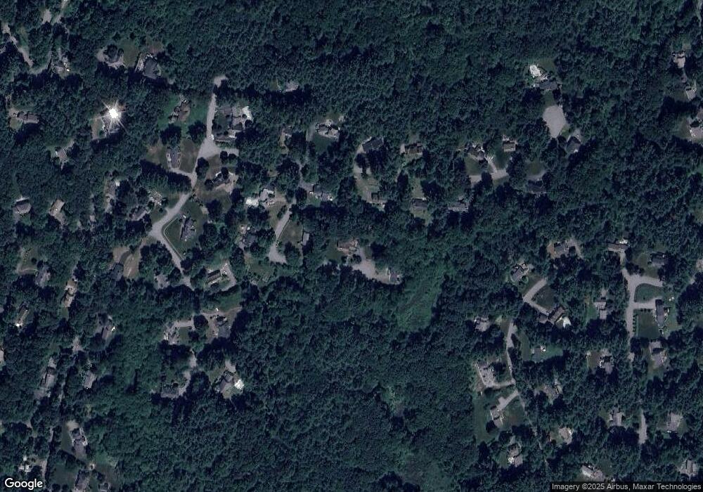
Map
Nearby Homes
- 63 Canterbury Dr
- 55 Widow Rites Ln
- 45 Widow Rites Ln
- 24 Goodnow Rd
- 36 Old Forge Ln
- 12 Camperdown Ln
- 427 Concord Rd
- 54 Phillips Rd
- 4 Elderberry Cir
- 47 Fairbank Rd
- 14 Frost Ln
- 5 Taintor Dr
- 166 Parker St Unit 4
- 270 Old Lancaster Rd
- 67 Old Marlboro Rd
- 57 Longfellow Rd
- 42 Dakin Rd
- 29 Longfellow Rd
- 16 Blacksmith Dr
- 14 Tanbark Rd
- 12 English Rd
- 18 Arrowhead Rd
- 31 Canterbury Dr
- 25 Canterbury Dr
- 35 Canterbury Dr
- 15 English Rd
- 11 Canterbury Dr
- 41 Canterbury Dr
- 30 Canterbury Dr
- 12 Hermitage Rd
- 26 Canterbury Dr
- 20 Hermitage Rd
- 36 Canterbury Dr
- 3 Canterbury Dr
- 14 Canterbury Dr
- 43 Wake Robin Rd
- 14 Hampshire St
- 44 Canterbury Dr
- 26 Hermitage Rd
- 35 Wake Robin Rd