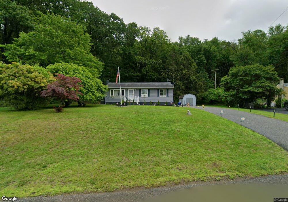
14 Arthur Ave Newton, NJ 07860
Andover Township NeighborhoodEstimated Value: $227,000 - $343,000
--
Bed
--
Bath
920
Sq Ft
$324/Sq Ft
Est. Value
About This Home
This home is located at 14 Arthur Ave, Newton, NJ 07860 and is currently estimated at $298,086, approximately $324 per square foot. 14 Arthur Ave is a home located in Sussex County with nearby schools including Florence M. Burd School, Long Pond School, and Lakeland Andover School.
Ownership History
Date
Name
Owned For
Owner Type
Purchase Details
Closed on
Aug 24, 2017
Sold by
Ehmann Peter J
Bought by
Bruzzese Frank
Current Estimated Value
Home Financials for this Owner
Home Financials are based on the most recent Mortgage that was taken out on this home.
Original Mortgage
$50,000
Outstanding Balance
$41,676
Interest Rate
3.92%
Mortgage Type
Purchase Money Mortgage
Estimated Equity
$256,410
Purchase Details
Closed on
Sep 11, 1995
Sold by
Gallup Anna B and Mcglynn Donna Gallup
Bought by
Jensen Ollie and Jensen Rachel
Create a Home Valuation Report for This Property
The Home Valuation Report is an in-depth analysis detailing your home's value as well as a comparison with similar homes in the area
Home Values in the Area
Average Home Value in this Area
Purchase History
| Date | Buyer | Sale Price | Title Company |
|---|---|---|---|
| Bruzzese Frank | $120,000 | None Available | |
| Jensen Ollie | $115,000 | -- |
Source: Public Records
Mortgage History
| Date | Status | Borrower | Loan Amount |
|---|---|---|---|
| Open | Bruzzese Frank | $50,000 |
Source: Public Records
Tax History Compared to Growth
Tax History
| Year | Tax Paid | Tax Assessment Tax Assessment Total Assessment is a certain percentage of the fair market value that is determined by local assessors to be the total taxable value of land and additions on the property. | Land | Improvement |
|---|---|---|---|---|
| 2025 | $6,585 | $156,300 | $89,300 | $67,000 |
| 2024 | $6,347 | $156,300 | $89,300 | $67,000 |
| 2023 | $6,347 | $156,300 | $89,300 | $67,000 |
| 2022 | $6,083 | $156,300 | $89,300 | $67,000 |
| 2021 | $5,996 | $156,300 | $89,300 | $67,000 |
| 2020 | $5,841 | $156,300 | $89,300 | $67,000 |
| 2019 | $5,705 | $156,300 | $89,300 | $67,000 |
| 2018 | $5,616 | $156,300 | $89,300 | $67,000 |
| 2017 | $5,496 | $156,300 | $89,300 | $67,000 |
| 2016 | $4,819 | $156,300 | $89,300 | $67,000 |
| 2015 | $5,200 | $153,000 | $73,700 | $79,300 |
| 2014 | $5,082 | $153,000 | $73,700 | $79,300 |
Source: Public Records
Map
Nearby Homes
- 0 Martin St
- 15 Bernard Dr
- 7 Martin St
- 285 Stickles Pond Rd
- 68 & 70 Goodale Rd (5 9 Acres)
- 17 Youngs Rd
- 70 Goodale Rd
- 66 Paterson Ave
- 30 Linmor Ave
- 219 Woodside Ave
- 14 Luchetti Way
- 36 Paterson Ave
- 14 Trenton Place
- 46 Orchard St Unit 2
- 18 Lincoln Place
- 103 Woodside Ave
- 63 Merriam Ave
- 76 Carriage Ln Unit 76
- 40 Carriage Ln Unit 40
- 21 Carriage Ln Unit 21