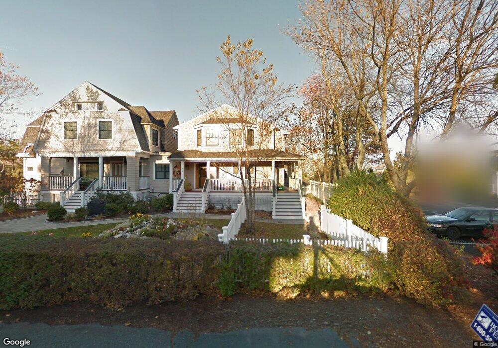
14 Atlantic Rd Unit 1 Gloucester, MA 01930
East Gloucester NeighborhoodEstimated Value: $440,000 - $537,000
1
Bed
2
Baths
610
Sq Ft
$792/Sq Ft
Est. Value
About This Home
This home is located at 14 Atlantic Rd Unit 1, Gloucester, MA 01930 and is currently estimated at $483,122, approximately $792 per square foot. 14 Atlantic Rd Unit 1 is a home located in Essex County with nearby schools including East Gloucester Elementary School, Ralph B O'maley Middle School, and Gloucester High School.
Ownership History
Date
Name
Owned For
Owner Type
Purchase Details
Closed on
Jan 21, 2014
Sold by
Weinberg Judith W
Bought by
Weinberg Judith W and Weinberg Lee
Current Estimated Value
Purchase Details
Closed on
Jul 20, 2007
Sold by
Gray Manor Llc
Bought by
Weisenfeld Roland and Weisenfeld Ruth B
Home Financials for this Owner
Home Financials are based on the most recent Mortgage that was taken out on this home.
Original Mortgage
$216,000
Interest Rate
6.54%
Mortgage Type
Purchase Money Mortgage
Create a Home Valuation Report for This Property
The Home Valuation Report is an in-depth analysis detailing your home's value as well as a comparison with similar homes in the area
Home Values in the Area
Average Home Value in this Area
Purchase History
| Date | Buyer | Sale Price | Title Company |
|---|---|---|---|
| Weinberg Judith W | -- | -- | |
| Weisenfeld Roland | $270,000 | -- |
Source: Public Records
Mortgage History
| Date | Status | Borrower | Loan Amount |
|---|---|---|---|
| Previous Owner | Weisenfeld Roland | $216,000 |
Source: Public Records
Tax History
| Year | Tax Paid | Tax Assessment Tax Assessment Total Assessment is a certain percentage of the fair market value that is determined by local assessors to be the total taxable value of land and additions on the property. | Land | Improvement |
|---|---|---|---|---|
| 2025 | $4,458 | $458,600 | $0 | $458,600 |
| 2024 | $4,328 | $444,800 | $0 | $444,800 |
| 2023 | $4,150 | $391,900 | $0 | $391,900 |
| 2022 | $4,162 | $354,800 | $0 | $354,800 |
| 2021 | $4,151 | $333,700 | $0 | $333,700 |
| 2020 | $4,115 | $333,700 | $0 | $333,700 |
| 2019 | $3,921 | $309,000 | $0 | $309,000 |
| 2018 | $3,866 | $299,000 | $0 | $299,000 |
| 2017 | $3,652 | $276,900 | $0 | $276,900 |
| 2016 | $3,466 | $254,700 | $0 | $254,700 |
| 2015 | $3,107 | $227,600 | $0 | $227,600 |
Source: Public Records
Map
Nearby Homes
- 70 Bass Ave
- 3 Mondello Square
- 26 Marina Dr
- 11 Wall St Unit R
- 36 Eastern Ave
- 78 Thatcher Rd Unit 6
- 25 Salt Island Rd
- 21 Marble Rd
- 197 E Main St Unit 1
- 32 Witham St Unit B
- 14R Spring St Unit 3
- 23 Mount Vernon St
- 10 Seaview Rd
- 60 Rocky Neck Ave Unit 202
- 73 Rocky Neck Ave Unit 2
- 191 Main St Unit 3
- 191 Main St Unit 2A
- 50 Warner St
- 1 Wonson St
- 28 Eastern Point Rd
- 14 Atlantic Rd Unit 5
- 14 Atlantic Rd Unit 4
- 14 Atlantic Rd Unit 3
- 14 Atlantic Rd Unit 2
- 14 Atlantic Rd
- 14 Atlantic Rd Unit 5
- 8 Beach Rd
- 19 Atlantic Road-Winter Unit 10
- 18 Atlantic Rd Unit 42
- 18 Atlantic Rd Unit 41
- 18 Atlantic Rd Unit 40
- 18 Atlantic Rd Unit 39
- 18 Atlantic Rd Unit 38
- 18 Atlantic Rd Unit 37
- 18 Atlantic Rd Unit 36
- 18 Atlantic Rd Unit 35
- 18 Atlantic Rd Unit 34
- 18 Atlantic Road : Winter Unit 42T
- 18 Atlantic Rd Unit 42T
- 18 Atlantic Rd
Your Personal Tour Guide
Ask me questions while you tour the home.