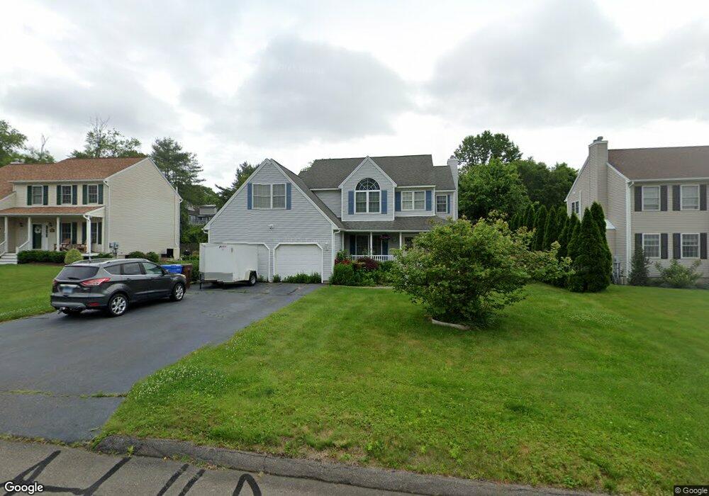
14 Audubon Ln Shelton, CT 06484
Estimated Value: $678,196 - $788,000
4
Beds
3
Baths
2,262
Sq Ft
$318/Sq Ft
Est. Value
About This Home
This home is located at 14 Audubon Ln, Shelton, CT 06484 and is currently estimated at $719,299, approximately $317 per square foot. 14 Audubon Ln is a home located in Fairfield County with nearby schools including Sunnyside Elementary School, Perry Hill School, and Shelton Intermediate School.
Ownership History
Date
Name
Owned For
Owner Type
Purchase Details
Closed on
Apr 19, 2018
Sold by
Block Patricia
Bought by
Block Jessica
Current Estimated Value
Purchase Details
Closed on
Oct 21, 1999
Sold by
B C Key Assoc
Bought by
Block Patricia A
Create a Home Valuation Report for This Property
The Home Valuation Report is an in-depth analysis detailing your home's value as well as a comparison with similar homes in the area
Home Values in the Area
Average Home Value in this Area
Purchase History
| Date | Buyer | Sale Price | Title Company |
|---|---|---|---|
| Block Jessica | -- | -- | |
| Block Jessica | -- | -- | |
| Block Patricia A | $274,900 | -- | |
| Block Patricia A | $274,900 | -- |
Source: Public Records
Mortgage History
| Date | Status | Borrower | Loan Amount |
|---|---|---|---|
| Previous Owner | Block Patricia A | $137,000 | |
| Previous Owner | Block Patricia A | $160,000 | |
| Previous Owner | Block Patricia A | $146,000 |
Source: Public Records
Tax History Compared to Growth
Tax History
| Year | Tax Paid | Tax Assessment Tax Assessment Total Assessment is a certain percentage of the fair market value that is determined by local assessors to be the total taxable value of land and additions on the property. | Land | Improvement |
|---|---|---|---|---|
| 2025 | $6,944 | $368,970 | $115,640 | $253,330 |
| 2024 | $7,077 | $368,970 | $115,640 | $253,330 |
| 2023 | $6,446 | $368,970 | $115,640 | $253,330 |
| 2022 | $6,446 | $368,970 | $115,640 | $253,330 |
| 2021 | $6,363 | $288,820 | $92,820 | $196,000 |
| 2020 | $6,475 | $288,820 | $92,820 | $196,000 |
| 2019 | $6,475 | $288,820 | $92,820 | $196,000 |
| 2017 | $6,415 | $288,820 | $92,820 | $196,000 |
| 2015 | $6,373 | $285,670 | $78,120 | $207,550 |
| 2014 | $6,373 | $285,670 | $78,120 | $207,550 |
Source: Public Records
Map
Nearby Homes
- 223 River Rd
- 1 Windward Way Unit 1
- 5 Windward Way Unit 5
- 2 Windward Way Unit 2
- 4 Windward Way Unit 4
- 3 Windward Way Unit 3
- 178 River Rd
- 11 Manton St
- 112 River Rd
- 0 Harvard Ave
- 36 Rivendell Dr
- 28 Edgewood Ave
- 42 Wells Ave
- 96 Hillside Ave
- 52 Katherine Ct
- 126 Wells View Rd
- 39 Coram Rd Unit 1
- 11 Edgewood Ave
- 11 Mount Pleasant St
- 20 3rd Ave