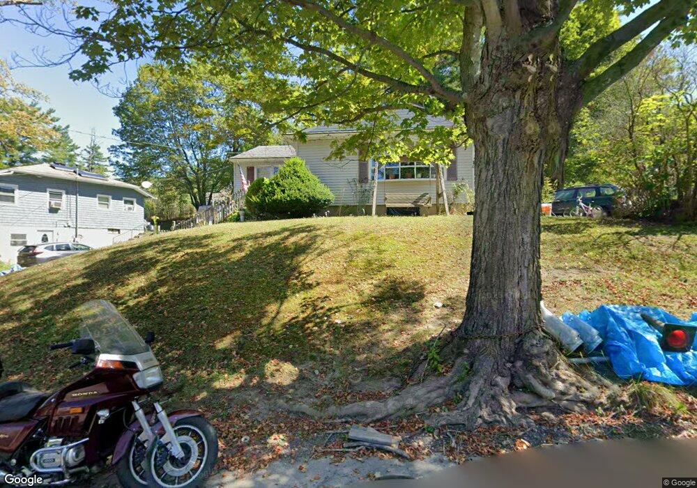
14 B St North Adams, MA 01247
Estimated Value: $222,000 - $289,000
3
Beds
1
Bath
1,128
Sq Ft
$219/Sq Ft
Est. Value
About This Home
This home is located at 14 B St, North Adams, MA 01247 and is currently estimated at $246,701, approximately $218 per square foot. 14 B St is a home located in Berkshire County with nearby schools including Brayton Elementary School, Drury High School, and Berkshire Arts & Technology Charter Public School.
Ownership History
Date
Name
Owned For
Owner Type
Purchase Details
Closed on
Aug 15, 1984
Bought by
Peterson Eric and Peterson Sandra J
Current Estimated Value
Create a Home Valuation Report for This Property
The Home Valuation Report is an in-depth analysis detailing your home's value as well as a comparison with similar homes in the area
Home Values in the Area
Average Home Value in this Area
Purchase History
| Date | Buyer | Sale Price | Title Company |
|---|---|---|---|
| Peterson Eric | -- | -- |
Source: Public Records
Mortgage History
| Date | Status | Borrower | Loan Amount |
|---|---|---|---|
| Open | Peterson Eric | $84,500 | |
| Closed | Peterson Eric | $7,440 |
Source: Public Records
Tax History Compared to Growth
Tax History
| Year | Tax Paid | Tax Assessment Tax Assessment Total Assessment is a certain percentage of the fair market value that is determined by local assessors to be the total taxable value of land and additions on the property. | Land | Improvement |
|---|---|---|---|---|
| 2025 | $3,192 | $191,000 | $33,400 | $157,600 |
| 2024 | $2,996 | $174,800 | $30,600 | $144,200 |
| 2023 | $2,886 | $163,300 | $30,600 | $132,700 |
| 2022 | $2,616 | $141,200 | $30,600 | $110,600 |
| 2021 | $2,432 | $130,700 | $28,300 | $102,400 |
| 2020 | $2,320 | $124,600 | $28,200 | $96,400 |
| 2019 | $2,221 | $116,200 | $28,200 | $88,000 |
| 2018 | $2,132 | $116,000 | $29,600 | $86,400 |
| 2017 | $2,029 | $114,800 | $29,300 | $85,500 |
| 2016 | $1,969 | $113,200 | $29,300 | $83,900 |
| 2015 | $1,926 | $115,400 | $30,300 | $85,100 |
Source: Public Records
Map
Nearby Homes
- 17 A St
- 1320 Church St
- 1268 Curran Hwy
- 12 Aztec Dr
- 8 Apache Dr
- 0 Ashland St Unit 245228
- 209 Corinth St
- 26 Bradford St
- 54 Pine Hill Terrace
- 360 Mohawk Trail
- 100 Autumn Dr
- 350 Mohawk Trail
- 921 Mohawk Trail
- 33 Gattuso Dr
- 0 Oak Hill Unit 237953
- 30 Dover St
- 336 Walnut St
- 31 Dover St
- 11-15 Perry St
- 74 Washington Ave