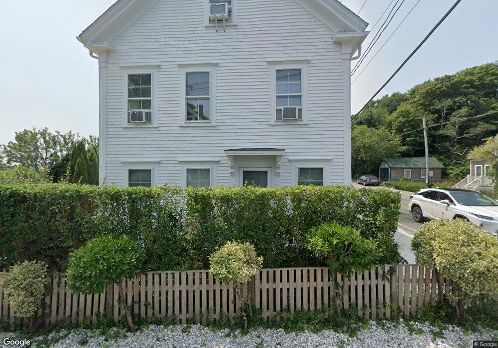
14 Bangs St Provincetown, MA 02657
Estimated Value: $1,548,000 - $2,807,000
5
Beds
4
Baths
1,945
Sq Ft
$1,093/Sq Ft
Est. Value
About This Home
This home is located at 14 Bangs St, Provincetown, MA 02657 and is currently estimated at $2,126,436, approximately $1,093 per square foot. 14 Bangs St is a home located in Barnstable County with nearby schools including Provincetown Schools.
Ownership History
Date
Name
Owned For
Owner Type
Purchase Details
Closed on
Jun 30, 1997
Sold by
Robinson William G and Robinson Cynthia R
Bought by
Milnor Daniel B and Taddei Daniele
Current Estimated Value
Home Financials for this Owner
Home Financials are based on the most recent Mortgage that was taken out on this home.
Original Mortgage
$136,500
Interest Rate
7.81%
Mortgage Type
Purchase Money Mortgage
Create a Home Valuation Report for This Property
The Home Valuation Report is an in-depth analysis detailing your home's value as well as a comparison with similar homes in the area
Home Values in the Area
Average Home Value in this Area
Purchase History
| Date | Buyer | Sale Price | Title Company |
|---|---|---|---|
| Milnor Daniel B | $195,000 | -- | |
| Milnor Daniel B | $195,000 | -- |
Source: Public Records
Mortgage History
| Date | Status | Borrower | Loan Amount |
|---|---|---|---|
| Open | Milnor Daniel B | $132,000 | |
| Closed | Milnor Daniel B | $136,500 |
Source: Public Records
Tax History
| Year | Tax Paid | Tax Assessment Tax Assessment Total Assessment is a certain percentage of the fair market value that is determined by local assessors to be the total taxable value of land and additions on the property. | Land | Improvement |
|---|---|---|---|---|
| 2025 | $8,739 | $1,560,500 | $524,900 | $1,035,600 |
| 2024 | $8,465 | $1,517,000 | $500,200 | $1,016,800 |
| 2023 | $7,918 | $1,324,100 | $435,000 | $889,100 |
| 2022 | $7,392 | $1,109,900 | $406,600 | $703,300 |
| 2021 | $6,939 | $980,100 | $369,600 | $610,500 |
| 2020 | $6,288 | $949,800 | $369,600 | $580,200 |
| 2019 | $6,403 | $906,900 | $358,900 | $548,000 |
| 2018 | $5,918 | $794,300 | $353,600 | $440,700 |
| 2017 | $5,743 | $744,900 | $346,700 | $398,200 |
| 2016 | $5,956 | $763,600 | $374,000 | $389,600 |
| 2015 | $4,718 | $639,300 | $256,700 | $382,600 |
Source: Public Records
Map
Nearby Homes
- 184 Bradford St Unit 1
- 441 Commercial St Unit B
- 208 Bradford St Unit 7
- 488 Commercial St Unit 14
- 405 Commercial St Unit 5
- 495 Commercial St Unit 9
- 495 Commercial St Unit 11
- 37 Pearl St
- 9A Conwell St Unit 4
- 361b Commercial St Unit U3
- 16 Conwell St Unit 3
- 86 Harry Kemp Way Unit B
- 16 Off Conwell St
- 535 Commercial St Unit 2
- 535 Commercial St Unit 2
- 286A Bradford St Unit 5
- 539 Commercial St Unit 1
- 539 Commercial St Unit 3
- 33 Conwell St Unit 5B
- 333 Commercial St Unit 9
- 446 Commercial St
- 446-A Commercial St
- 446 Commercial St Unit 1
- 6 Bangs St
- 11 Bangs St
- 190 Bradford St
- 190 Bradford St Unit 2
- 190 Bradford St Unit 1
- 188 Bradford St
- 192 Bradford St
- 191 Bradford St
- 9 Bangs St Unit 2
- 9 Bangs St Unit 1
- 18 Bangs St Unit 1-7
- 18 Bangs St Unit 5
- 18 Bangs St Unit 6
- 18 Bangs St Unit 2
- 18 Bangs St Unit 1
- 18 Bangs St Unit 4
- 18 Bangs St
Your Personal Tour Guide
Ask me questions while you tour the home.