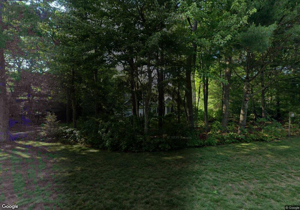
14 Bayden Path Plymouth, MA 02360
Estimated Value: $765,000 - $969,000
3
Beds
2
Baths
3,309
Sq Ft
$269/Sq Ft
Est. Value
About This Home
This home is located at 14 Bayden Path, Plymouth, MA 02360 and is currently estimated at $889,640, approximately $268 per square foot. 14 Bayden Path is a home located in Plymouth County with nearby schools including Indian Brook, Plymouth South Middle School, and Plymouth South High School.
Ownership History
Date
Name
Owned For
Owner Type
Purchase Details
Closed on
Oct 28, 2009
Sold by
Pratt Ellen E and Pratt Douglas B
Bought by
Donovan Debora P and Rudzik Thomas R
Current Estimated Value
Home Financials for this Owner
Home Financials are based on the most recent Mortgage that was taken out on this home.
Original Mortgage
$185,000
Interest Rate
5.06%
Mortgage Type
Purchase Money Mortgage
Purchase Details
Closed on
Sep 25, 2007
Sold by
Cartus Fincl Corp
Bought by
Pratt Ellen E and Pratt Douglas B
Purchase Details
Closed on
Sep 18, 2001
Sold by
Camp 4N-35 Rt and Mulligan
Bought by
Landeche David and Landeche Susan B
Create a Home Valuation Report for This Property
The Home Valuation Report is an in-depth analysis detailing your home's value as well as a comparison with similar homes in the area
Home Values in the Area
Average Home Value in this Area
Purchase History
| Date | Buyer | Sale Price | Title Company |
|---|---|---|---|
| Donovan Debora P | $415,000 | -- | |
| Pratt Ellen E | $440,000 | -- | |
| Cartus Financial Corp | $440,000 | -- | |
| Landeche David | $402,000 | -- |
Source: Public Records
Mortgage History
| Date | Status | Borrower | Loan Amount |
|---|---|---|---|
| Open | Landeche David | $185,000 | |
| Closed | Landeche David | $185,000 | |
| Previous Owner | Landeche David | $260,000 |
Source: Public Records
Tax History Compared to Growth
Tax History
| Year | Tax Paid | Tax Assessment Tax Assessment Total Assessment is a certain percentage of the fair market value that is determined by local assessors to be the total taxable value of land and additions on the property. | Land | Improvement |
|---|---|---|---|---|
| 2025 | $9,045 | $712,800 | $239,200 | $473,600 |
| 2024 | $8,510 | $661,200 | $218,300 | $442,900 |
| 2023 | $8,318 | $606,700 | $197,500 | $409,200 |
| 2022 | $8,101 | $525,000 | $186,100 | $338,900 |
| 2021 | $7,807 | $483,100 | $186,100 | $297,000 |
| 2020 | $7,871 | $481,400 | $192,100 | $289,300 |
| 2019 | $7,241 | $437,800 | $158,600 | $279,200 |
| 2018 | $6,956 | $422,600 | $147,600 | $275,000 |
| 2017 | $6,673 | $402,500 | $147,600 | $254,900 |
| 2016 | $6,392 | $392,900 | $136,600 | $256,300 |
| 2015 | $6,045 | $389,000 | $131,100 | $257,900 |
| 2014 | $5,763 | $380,900 | $131,100 | $249,800 |
Source: Public Records
Map
Nearby Homes
- 451 Ship Pond Rd
- 475 Ship Pond Rd
- 35 Nautical Way
- 30 Nautical Way
- 35 Trask Rd
- 47 Pleasant Harbour Rd
- 5 Trask Rd
- 1029 Old Sandwich Rd
- 12 Mayflower Dr
- 43 Pond View Cir
- 107 Shore Dr
- 26 Goelette Dr
- 40 Drum Dr Unit 40
- 83 Miter Dr Unit 6-3
- 81 Miter Dr Unit 7-1
- 87 Miter Dr Unit 6-1
- 79 Miter Dr Unit 7-2
- 91 Miter Dr Unit 18-1
- The Hickory Plan at Alden's Reach - Attached & Detached Single Family Homes
- 91 Miter Dr Unit 3-2