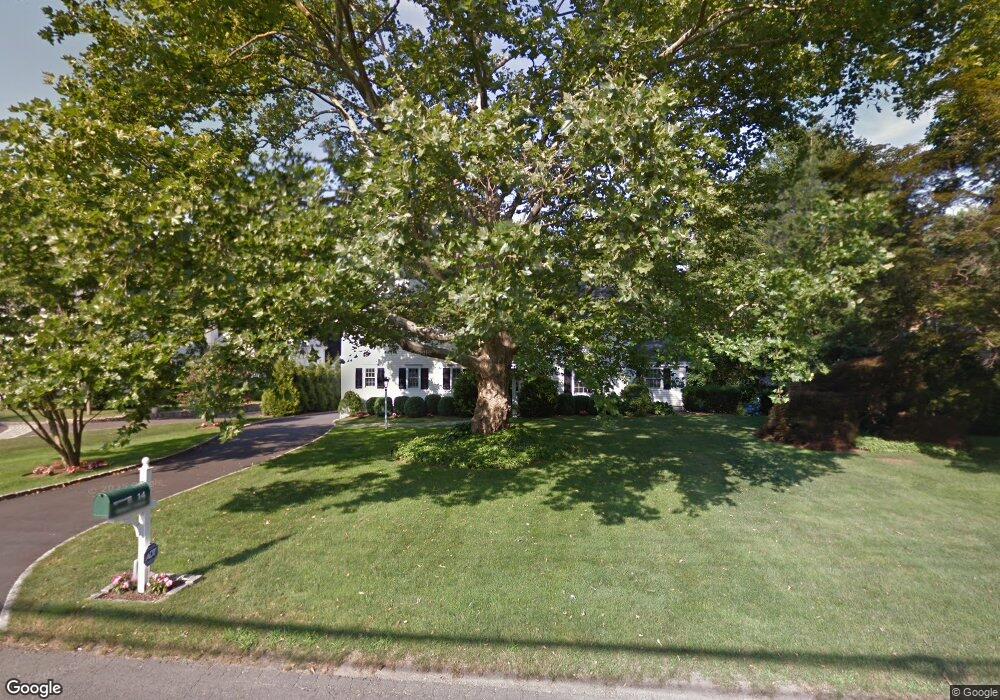
14 Birch Rd Darien, CT 06820
Estimated Value: $2,348,000 - $2,935,000
4
Beds
3
Baths
3,096
Sq Ft
$845/Sq Ft
Est. Value
About This Home
This home is located at 14 Birch Rd, Darien, CT 06820 and is currently estimated at $2,614,976, approximately $844 per square foot. 14 Birch Rd is a home located in Fairfield County with nearby schools including Ox Ridge Elementary School, Middlesex Middle School, and Darien High School.
Ownership History
Date
Name
Owned For
Owner Type
Purchase Details
Closed on
Jun 3, 2002
Sold by
Casey Paul G and Casey Lisa C
Bought by
Waldron Kevin W and Waldron Lauri L
Current Estimated Value
Home Financials for this Owner
Home Financials are based on the most recent Mortgage that was taken out on this home.
Original Mortgage
$50,000
Interest Rate
6.92%
Purchase Details
Closed on
Jun 17, 1993
Sold by
Olson Viole Est
Bought by
Casey Paul and Casey Lisa
Create a Home Valuation Report for This Property
The Home Valuation Report is an in-depth analysis detailing your home's value as well as a comparison with similar homes in the area
Home Values in the Area
Average Home Value in this Area
Purchase History
| Date | Buyer | Sale Price | Title Company |
|---|---|---|---|
| Waldron Kevin W | $860,000 | -- | |
| Casey Paul | $430,000 | -- |
Source: Public Records
Mortgage History
| Date | Status | Borrower | Loan Amount |
|---|---|---|---|
| Open | Casey Paul | $250,000 | |
| Open | Casey Paul | $393,000 | |
| Closed | Casey Paul | $449,000 | |
| Closed | Casey Paul | $50,000 |
Source: Public Records
Tax History
| Year | Tax Paid | Tax Assessment Tax Assessment Total Assessment is a certain percentage of the fair market value that is determined by local assessors to be the total taxable value of land and additions on the property. | Land | Improvement |
|---|---|---|---|---|
| 2025 | $19,884 | $1,284,500 | $776,160 | $508,340 |
| 2024 | $18,869 | $1,284,500 | $776,160 | $508,340 |
| 2023 | $16,699 | $948,290 | $554,400 | $393,890 |
| 2022 | $16,339 | $948,290 | $554,400 | $393,890 |
| 2021 | $10,903 | $948,290 | $554,400 | $393,890 |
| 2020 | $2 | $948,290 | $554,400 | $393,890 |
| 2019 | $15,618 | $948,290 | $554,400 | $393,890 |
| 2018 | $10,531 | $999,320 | $537,180 | $462,140 |
| 2017 | $9,706 | $999,320 | $537,180 | $462,140 |
| 2016 | $15,759 | $999,320 | $537,180 | $462,140 |
| 2015 | $15,340 | $999,320 | $537,180 | $462,140 |
| 2014 | $15,000 | $999,320 | $537,180 | $462,140 |
Source: Public Records
Map
Nearby Homes
- 9 Point o Woods Rd S
- 29 Richmond Dr
- 6 Ward Ln Unit 6
- 12 Dellwood Rd
- 7 Buttonwood Ln
- 171 Raymond St
- 19 Circle Rd
- 97 Richards Ave Unit B10
- 105 Richards Ave Unit 1407
- 2 Red Rose Cir
- 25 Lakeside Ave
- 2 Settlers Trail Unit 2
- 20 Locust Hill Rd
- 5 Topping Ln
- 10 Stony Brook Rd
- 18 Oakhill Ave
- 9 Arnold Ln
- 6 Acorn Ln
- 7 Tommys Ln
- 304 Brookside Rd
Your Personal Tour Guide
Ask me questions while you tour the home.