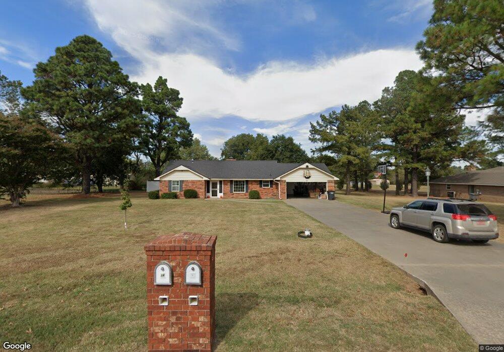
14 Birdie Ln Shawnee, OK 74804
Estimated Value: $257,000 - $333,000
3
Beds
2
Baths
1,933
Sq Ft
$146/Sq Ft
Est. Value
About This Home
This home is located at 14 Birdie Ln, Shawnee, OK 74804 and is currently estimated at $281,628, approximately $145 per square foot. 14 Birdie Ln is a home located in Pottawatomie County with nearby schools including Will Rogers Elementary School, Shawnee Middle School, and Shawnee High School.
Ownership History
Date
Name
Owned For
Owner Type
Purchase Details
Closed on
Jan 15, 2025
Sold by
Schwab William W and Schwab Nancy L
Bought by
Oak Revocable Living Trust
Current Estimated Value
Purchase Details
Closed on
Mar 21, 2024
Sold by
Franklin D Hill Revocable Trust
Bought by
Schwab William W and Schwab Nancy L
Purchase Details
Closed on
Sep 22, 2023
Sold by
Hill Franklin D
Bought by
Franklin D Hill Revocable Trust and Hill
Purchase Details
Closed on
Nov 30, 1993
Sold by
Kimmel Michael and Kimmel Michelle
Bought by
Hill Franklin
Create a Home Valuation Report for This Property
The Home Valuation Report is an in-depth analysis detailing your home's value as well as a comparison with similar homes in the area
Home Values in the Area
Average Home Value in this Area
Purchase History
| Date | Buyer | Sale Price | Title Company |
|---|---|---|---|
| Oak Revocable Living Trust | -- | None Listed On Document | |
| Schwab William W | -- | None Listed On Document | |
| Franklin D Hill Revocable Trust | -- | None Listed On Document | |
| Hill Franklin | $77,000 | -- |
Source: Public Records
Tax History Compared to Growth
Tax History
| Year | Tax Paid | Tax Assessment Tax Assessment Total Assessment is a certain percentage of the fair market value that is determined by local assessors to be the total taxable value of land and additions on the property. | Land | Improvement |
|---|---|---|---|---|
| 2024 | $1,318 | $14,022 | $1,500 | $12,522 |
| 2023 | $1,318 | $13,613 | $2,130 | $11,483 |
| 2022 | $1,253 | $13,217 | $2,112 | $11,105 |
| 2021 | $1,192 | $13,217 | $2,112 | $11,105 |
| 2020 | $1,158 | $12,458 | $2,076 | $10,382 |
| 2019 | $1,158 | $12,095 | $1,977 | $10,118 |
| 2018 | $1,099 | $11,743 | $1,849 | $9,894 |
| 2017 | $1,050 | $11,401 | $1,763 | $9,638 |
| 2016 | $1,027 | $11,069 | $1,674 | $9,395 |
| 2015 | $975 | $10,747 | $1,680 | $9,067 |
| 2014 | $944 | $10,434 | $1,551 | $8,883 |
Source: Public Records
Map
Nearby Homes
- 2666 Legacy Place
- 13804 Coker Rd
- 121 Lake Shore Dr
- 129 Lake Shore Dr
- 38604 Collina Dr
- 5557 Coker Rd
- 15 Gaddy Rd
- 12803 Gaddy Rd
- 37614 W Macarthur St
- 120 Acres Hwy 140 & Hwy 177 Rd
- 1933 Rain Tree Dr
- 1914 Oak Tree Ct
- 1000 W 45th St
- 1902 Oak Tree Ct
- 1821 W Wiley St
- 00 Gaddy Lot 2 Rd
- 2418 Ellis Dr
- 1900 Timber Dale Dr
- 1828 W Federal St
- 70 Kristen Ct