Estimated Value: $311,000 - $382,000
4
Beds
2
Baths
--
Sq Ft
2.5
Acres
About This Home
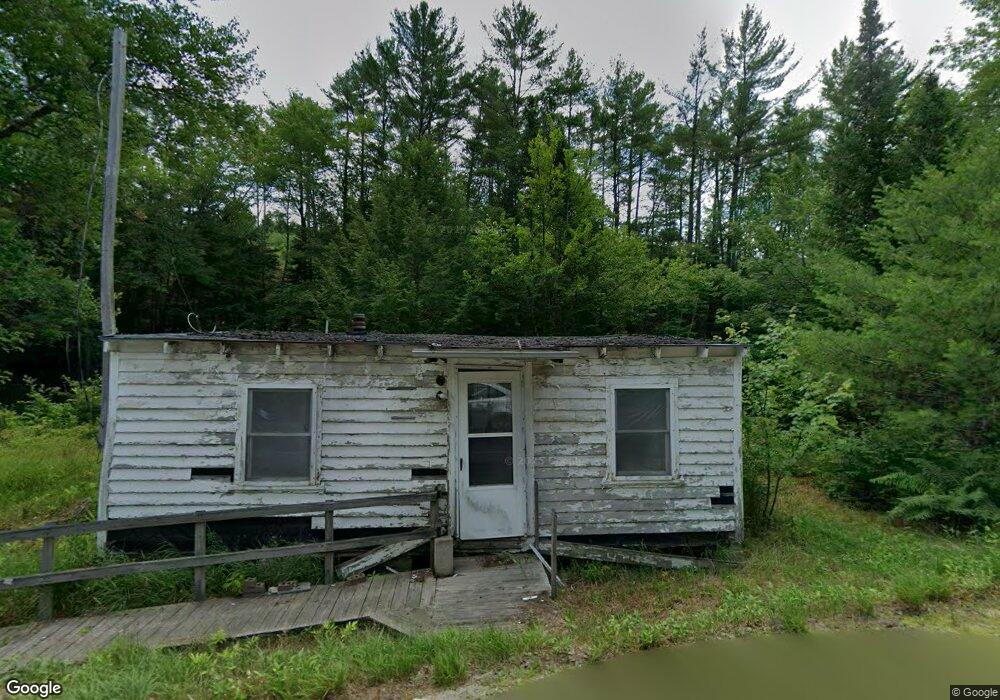
This home is located at 14 Brett Hill, Paris, ME 04281 and is currently estimated at $340,040. 14 Brett Hill is a home located in Oxford County with nearby schools including Paris Elementary School, Oxford Hills Middle School, and Oxford Hills Comprehensive High School.
Ownership History
Date
Name
Owned For
Owner Type
Purchase Details
Closed on
Mar 14, 2012
Sold by
Strout Carol A
Bought by
Patriot Energy Inc
Current Estimated Value
Home Financials for this Owner
Home Financials are based on the most recent Mortgage that was taken out on this home.
Original Mortgage
$51,300
Interest Rate
3.86%
Mortgage Type
Commercial
Create a Home Valuation Report for This Property
The Home Valuation Report is an in-depth analysis detailing your home's value as well as a comparison with similar homes in the area
Home Values in the Area
Average Home Value in this Area
Purchase History
| Date | Buyer | Sale Price | Title Company |
|---|---|---|---|
| Patriot Energy Inc | -- | -- |
Source: Public Records
Mortgage History
| Date | Status | Borrower | Loan Amount |
|---|---|---|---|
| Closed | Patriot Energy Inc | $51,300 |
Source: Public Records
Tax History Compared to Growth
Tax History
| Year | Tax Paid | Tax Assessment Tax Assessment Total Assessment is a certain percentage of the fair market value that is determined by local assessors to be the total taxable value of land and additions on the property. | Land | Improvement |
|---|---|---|---|---|
| 2024 | $4,222 | $288,000 | $63,900 | $224,100 |
| 2023 | $3,590 | $223,000 | $48,900 | $174,100 |
| 2022 | $3,312 | $223,000 | $48,900 | $174,100 |
| 2021 | $3,229 | $179,400 | $37,600 | $141,800 |
| 2020 | $3,265 | $179,400 | $37,600 | $141,800 |
| 2019 | $3,193 | $179,400 | $37,600 | $141,800 |
| 2018 | $3,014 | $179,400 | $37,600 | $141,800 |
| 2017 | $3,014 | $179,400 | $37,600 | $141,800 |
| 2016 | $3,014 | $179,400 | $37,600 | $141,800 |
| 2015 | $3,283 | $179,400 | $37,600 | $141,800 |
| 2014 | $3,301 | $184,400 | $63,200 | $121,200 |
| 2013 | $3,301 | $184,400 | $63,200 | $121,200 |
Source: Public Records
Map
Nearby Homes
- 146 E Main St
- 16 Turner Ln
- 16 Buckfield Rd
- Map 07-09A Brett Hill Rd
- 127 Paris Hill Rd
- 78 High St
- Lot #4 High Ridge Rd
- 49 Nichol St
- 270 Hebron Rd
- 00 Stock Farm Rd
- 19 Old Route 26
- 299 & 303 Hebron Rd
- 11 Nishell Dr
- 48 Gary St
- 261 High St
- R-02-32.1 Oxford St
- 164 Alpine St
- TBD Buckfield Rd
- Lot 2 Paris Hill Rd
- 23 Mefford Ln
- 14 Brett Hill Rd
- 20 Brett Hill Rd
- 139 Buckfield Rd
- Rt 117 Buckfield Rd
- 11 Brett Hill Rd
- 7 Stony Brook Dr
- 136 Buckfield Rd
- 118 Buckfield Rd
- 138 Buckfield Rd
- 43 Brett Hill Rd
- 126 Buckfield Rd
- 108 Buckfield Rd
- 150 Buckfield Rd
- 19 Stony Brook Dr
- 53 Brett Hill Rd
- 40 Brett Hill Rd
- 91 Buckfield Rd
- 60 Brett Hill Rd
- 33 Stony Brook Dr
- 3 Brett Hill Rd