14 Bridge View Ln New Harbor, ME 04554
Estimated Value: $705,000 - $748,471
--
Bed
--
Bath
--
Sq Ft
1.1
Acres
About This Home
This home is located at 14 Bridge View Ln, New Harbor, ME 04554 and is currently estimated at $721,868. 14 Bridge View Ln is a home with nearby schools including Bristol Consolidated School.
Ownership History
Date
Name
Owned For
Owner Type
Purchase Details
Closed on
Sep 22, 2023
Sold by
Scott T Baybutt Ret and Baybutt
Bought by
Thompson Katherine J and Hudson Charles M
Current Estimated Value
Home Financials for this Owner
Home Financials are based on the most recent Mortgage that was taken out on this home.
Original Mortgage
$520,000
Outstanding Balance
$508,530
Interest Rate
6.75%
Mortgage Type
Purchase Money Mortgage
Estimated Equity
$213,338
Purchase Details
Closed on
Jun 27, 2023
Sold by
Baybutt Scott T
Bought by
Scott T Baybutt Ret and Baybutt
Purchase Details
Closed on
Sep 4, 2008
Sold by
Baybutt Martha T Est and Baybutt
Bought by
Baybutt Richard K and Baybutt Mark D
Create a Home Valuation Report for This Property
The Home Valuation Report is an in-depth analysis detailing your home's value as well as a comparison with similar homes in the area
Home Values in the Area
Average Home Value in this Area
Purchase History
| Date | Buyer | Sale Price | Title Company |
|---|---|---|---|
| Thompson Katherine J | $325,000 | None Available | |
| Thompson Katherine J | $325,000 | None Available | |
| Scott T Baybutt Ret | -- | None Available | |
| Baybutt Richard K | -- | -- |
Source: Public Records
Mortgage History
| Date | Status | Borrower | Loan Amount |
|---|---|---|---|
| Open | Thompson Katherine J | $520,000 |
Source: Public Records
Tax History Compared to Growth
Tax History
| Year | Tax Paid | Tax Assessment Tax Assessment Total Assessment is a certain percentage of the fair market value that is determined by local assessors to be the total taxable value of land and additions on the property. | Land | Improvement |
|---|---|---|---|---|
| 2024 | $4,591 | $515,800 | $301,000 | $214,800 |
| 2023 | $4,101 | $515,800 | $301,000 | $214,800 |
| 2022 | $3,714 | $515,800 | $301,000 | $214,800 |
| 2021 | $3,714 | $515,800 | $301,000 | $214,800 |
| 2020 | $3,740 | $515,800 | $301,000 | $214,800 |
| 2019 | $3,482 | $515,800 | $301,000 | $214,800 |
| 2018 | $3,224 | $515,800 | $301,000 | $214,800 |
| 2017 | $3,224 | $515,800 | $301,000 | $214,800 |
| 2016 | $2,833 | $358,600 | $200,400 | $158,200 |
| 2015 | $3,030 | $358,600 | $200,400 | $158,200 |
| 2014 | $2,833 | $358,600 | $200,400 | $158,200 |
| 2013 | $2,761 | $358,600 | $200,400 | $158,200 |
Source: Public Records
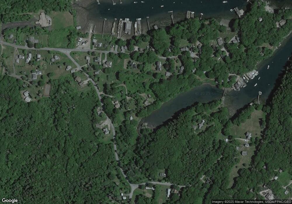
Map
Nearby Homes
- 82 Southside Rd
- 147 Maine 32
- 146 State Route 32
- 5 Penniman Rd
- 69 McFarland Shore Rd
- 2593 Bristol Rd
- 2700 Bristol Rd
- M2-L55F Bristol Rd
- 67 Huddle Rd
- Lot 5 Jack's Ln
- Lot 4 Jack's Ln
- M2A-L45B3 Huddle Rd
- 40 Eastwood Ct
- 145 Huddle Rd
- 36 Eastwood Ct
- 25 & 26 Maine 32
- 82 Pemaquid Trail
- Lot 13 Nahanada Rd
- Lot 11 Nahanada Rd
- 49 Seawood Park Rd
- 95 Southside Rd
- 103 Southside Rd
- 85 Southside Rd
- 85 Southside Rd
- 104 Southside Rd
- 16 Bridge View Ln
- 82 Southside Rd
- 110 Southside Rd
- 78 Southside Rd
- 110 & 118 Southside Rd
- 73 Southside Rd
- 118 S Side Rd
- 0 Leeman Hill Rd Unit 176852
- 0 Leeman Hill Rd Unit 1316537
- 0 Leeman Hill Rd Unit 1363359
- 0 Leeman Hill Rd Unit 1472624
- 3 Bridge View Ln
- 116 Southside Rd
- 116 Southside Rd
- 69 Northside Rd