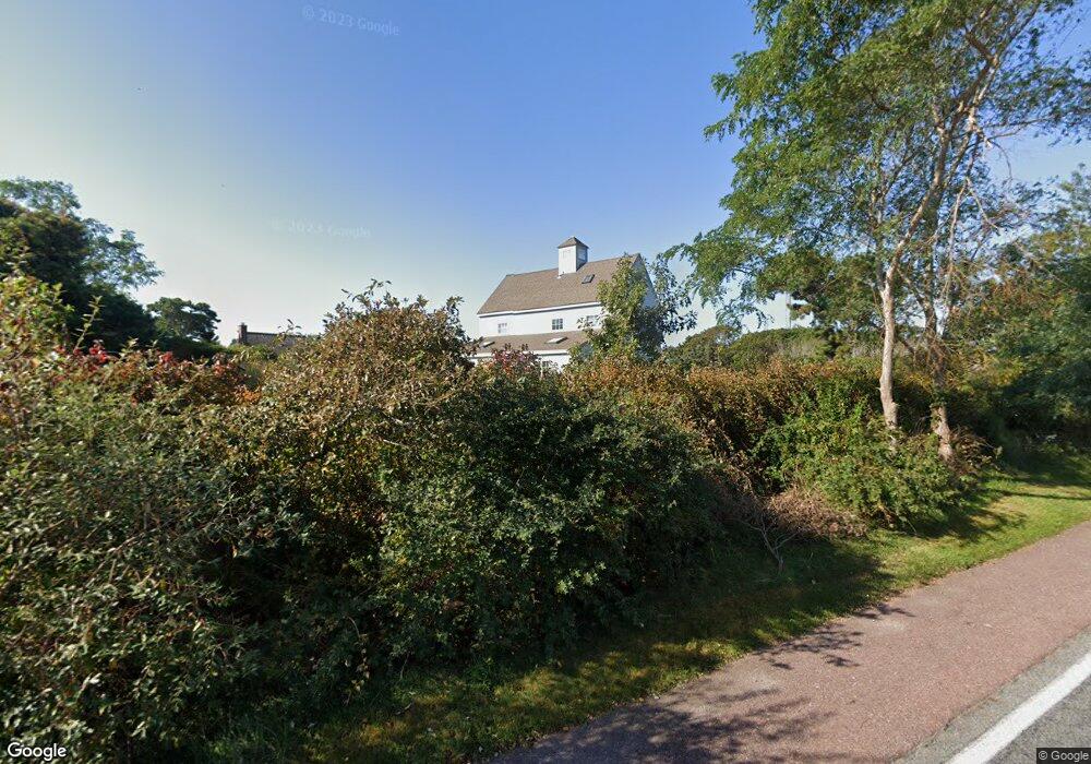
14 Broadcast Ln West Yarmouth, MA 02673
West Yarmouth NeighborhoodEstimated Value: $903,000 - $1,147,965
3
Beds
2
Baths
1,500
Sq Ft
$666/Sq Ft
Est. Value
About This Home
This home is located at 14 Broadcast Ln, West Yarmouth, MA 02673 and is currently estimated at $999,241, approximately $666 per square foot. 14 Broadcast Ln is a home located in Barnstable County with nearby schools including Dennis-Yarmouth Regional High School.
Ownership History
Date
Name
Owned For
Owner Type
Purchase Details
Closed on
Nov 24, 1993
Sold by
Channel Point Rt
Bought by
Cody James R and Cody Marianne W
Current Estimated Value
Home Financials for this Owner
Home Financials are based on the most recent Mortgage that was taken out on this home.
Original Mortgage
$130,000
Interest Rate
6.72%
Mortgage Type
Purchase Money Mortgage
Create a Home Valuation Report for This Property
The Home Valuation Report is an in-depth analysis detailing your home's value as well as a comparison with similar homes in the area
Home Values in the Area
Average Home Value in this Area
Purchase History
| Date | Buyer | Sale Price | Title Company |
|---|---|---|---|
| Cody James R | $182,000 | -- |
Source: Public Records
Mortgage History
| Date | Status | Borrower | Loan Amount |
|---|---|---|---|
| Closed | Cody James R | $130,000 |
Source: Public Records
Tax History Compared to Growth
Tax History
| Year | Tax Paid | Tax Assessment Tax Assessment Total Assessment is a certain percentage of the fair market value that is determined by local assessors to be the total taxable value of land and additions on the property. | Land | Improvement |
|---|---|---|---|---|
| 2025 | $7,202 | $1,017,200 | $611,000 | $406,200 |
| 2024 | $6,669 | $903,700 | $531,600 | $372,100 |
| 2023 | $6,813 | $840,100 | $467,700 | $372,400 |
| 2022 | $6,907 | $752,400 | $507,600 | $244,800 |
| 2021 | $6,151 | $643,400 | $443,000 | $200,400 |
| 2020 | $3,920 | $499,500 | $307,900 | $191,600 |
| 2019 | $3,538 | $483,500 | $307,900 | $175,600 |
| 2018 | $4,834 | $469,800 | $294,200 | $175,600 |
| 2017 | $4,707 | $469,800 | $294,200 | $175,600 |
| 2016 | $4,652 | $466,100 | $294,200 | $171,900 |
| 2015 | $4,345 | $432,800 | $245,200 | $187,600 |
Source: Public Records
Map
Nearby Homes
- 31 Moss Rd
- 31 Moss Rd
- 286 S Sea Ave
- 14 Heritage Dr
- 21 Heritage Dr
- 10 Mark Way
- 89 Acres Ave
- 41 Yelverton Ln
- 2 Sachem Path
- 30 Nauset Ln
- 25-27 Merrymount Rd
- 25 & 27 Merrymount Rd
- 90 Broadway St Unit 92
- 90 Broadway St Unit 90
- 48 Jerusha Ln
- 21 Schooner St
- 503 Route 28 Unit 15
- 503 Route 28 Unit 5
- 503 Route 28 Unit 25
- 55 Aspinet Rd
- 47 Sea Gull Rd
- 17 Broadcast Ln
- 21 Broadcast Ln
- 11 Broadcast Ln
- 25 Broadcast Ln
- 7 Broadcast Ln
- 14 Television Ln
- 18 Television Ln
- 8 Television Ln
- 22 Television Ln
- 4 Television Ln
- 0 Television Ln Unit 1-2 2019107
- 0 Television Ln
- 1 Broadcast Ln
- 2 Television Ln
- 15 Television Ln
- 28 Television Ln
- 9-11 Television Ln
- 9 Television Ln Unit 11
- 21 Television Ln