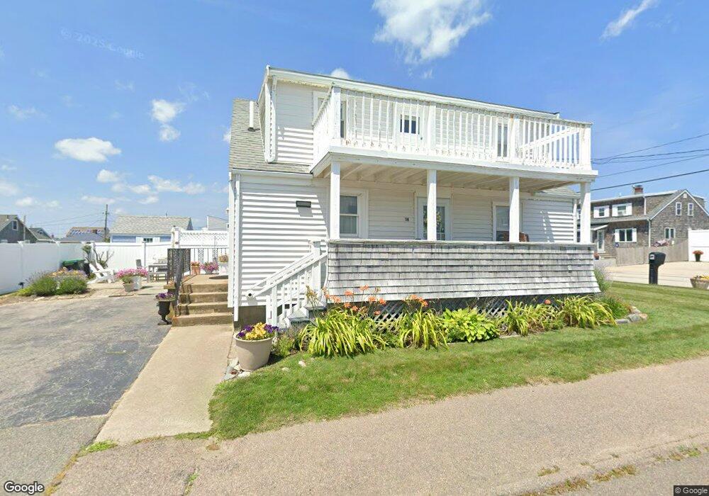
14 Brook St Marshfield, MA 02050
Ocean Bluff-Brant Rock NeighborhoodEstimated Value: $445,000 - $532,000
3
Beds
2
Baths
1,404
Sq Ft
$345/Sq Ft
Est. Value
About This Home
This home is located at 14 Brook St, Marshfield, MA 02050 and is currently estimated at $484,697, approximately $345 per square foot. 14 Brook St is a home located in Plymouth County with nearby schools including Daniel Webster, Furnace Brook Middle School, and Marshfield High School.
Ownership History
Date
Name
Owned For
Owner Type
Purchase Details
Closed on
Nov 5, 2021
Sold by
Waite Joan and Persechini John
Bought by
Inglis Elizabeth J and Inglis Richard A
Current Estimated Value
Home Financials for this Owner
Home Financials are based on the most recent Mortgage that was taken out on this home.
Original Mortgage
$283,920
Outstanding Balance
$258,652
Interest Rate
2.88%
Mortgage Type
Purchase Money Mortgage
Estimated Equity
$226,045
Purchase Details
Closed on
May 20, 2003
Sold by
Persechini John
Bought by
Persechini John and Persechini Arnold
Create a Home Valuation Report for This Property
The Home Valuation Report is an in-depth analysis detailing your home's value as well as a comparison with similar homes in the area
Home Values in the Area
Average Home Value in this Area
Purchase History
| Date | Buyer | Sale Price | Title Company |
|---|---|---|---|
| Inglis Elizabeth J | $354,900 | None Available | |
| Persechini John | -- | -- | |
| Persechini John | -- | -- |
Source: Public Records
Mortgage History
| Date | Status | Borrower | Loan Amount |
|---|---|---|---|
| Open | Inglis Elizabeth J | $283,920 | |
| Closed | Inglis Elizabeth J | $283,920 |
Source: Public Records
Tax History Compared to Growth
Tax History
| Year | Tax Paid | Tax Assessment Tax Assessment Total Assessment is a certain percentage of the fair market value that is determined by local assessors to be the total taxable value of land and additions on the property. | Land | Improvement |
|---|---|---|---|---|
| 2025 | $4,266 | $430,900 | $317,700 | $113,200 |
| 2024 | $3,890 | $374,400 | $297,800 | $76,600 |
| 2023 | $3,713 | $331,000 | $268,000 | $63,000 |
| 2022 | $3,713 | $286,700 | $228,300 | $58,400 |
| 2021 | $3,700 | $280,500 | $218,400 | $62,100 |
| 2020 | $3,295 | $247,200 | $188,600 | $58,600 |
| 2019 | $3,261 | $243,700 | $188,600 | $55,100 |
| 2018 | $3,258 | $243,700 | $188,600 | $55,100 |
| 2017 | $3,073 | $224,000 | $178,700 | $45,300 |
| 2016 | $2,972 | $214,100 | $168,800 | $45,300 |
| 2015 | $2,845 | $214,100 | $168,800 | $45,300 |
| 2014 | $2,937 | $221,000 | $168,800 | $52,200 |
Source: Public Records
Map
Nearby Homes