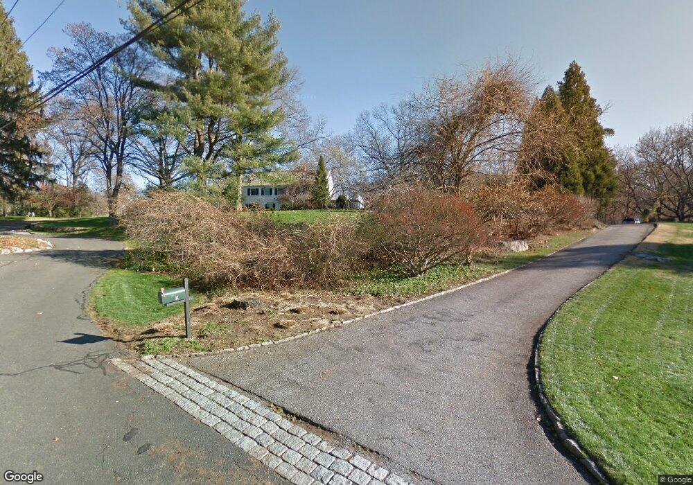
14 Brookside Dr Westport, CT 06880
Staples NeighborhoodEstimated Value: $2,453,000 - $3,888,000
5
Beds
6
Baths
5,202
Sq Ft
$618/Sq Ft
Est. Value
About This Home
This home is located at 14 Brookside Dr, Westport, CT 06880 and is currently estimated at $3,214,261, approximately $617 per square foot. 14 Brookside Dr is a home located in Fairfield County with nearby schools including Saugatuck Elementary School, Bedford Middle School, and Staples High School.
Ownership History
Date
Name
Owned For
Owner Type
Purchase Details
Closed on
Aug 28, 2013
Sold by
Stone Robert D and Stone Elise M
Bought by
Stone Robert D and Stone Elise M
Current Estimated Value
Home Financials for this Owner
Home Financials are based on the most recent Mortgage that was taken out on this home.
Original Mortgage
$1,406,250
Outstanding Balance
$1,046,195
Interest Rate
4.4%
Estimated Equity
$2,168,066
Purchase Details
Closed on
May 30, 1995
Sold by
Snedeker Mary Ann
Bought by
Stone Robert and Reiners Elise
Purchase Details
Closed on
Mar 2, 1987
Sold by
Rubel Edmund
Bought by
Smedeker J T
Create a Home Valuation Report for This Property
The Home Valuation Report is an in-depth analysis detailing your home's value as well as a comparison with similar homes in the area
Home Values in the Area
Average Home Value in this Area
Purchase History
| Date | Buyer | Sale Price | Title Company |
|---|---|---|---|
| Stone Robert D | -- | -- | |
| Stone Robert D | -- | -- | |
| Stone Robert D | -- | -- | |
| Stone Robert | $802,500 | -- | |
| Stone Robert | $802,500 | -- | |
| Smedeker J T | $750,000 | -- |
Source: Public Records
Mortgage History
| Date | Status | Borrower | Loan Amount |
|---|---|---|---|
| Open | Stone Robert D | $1,406,250 | |
| Closed | Stone Robert D | $1,406,250 |
Source: Public Records
Tax History
| Year | Tax Paid | Tax Assessment Tax Assessment Total Assessment is a certain percentage of the fair market value that is determined by local assessors to be the total taxable value of land and additions on the property. | Land | Improvement |
|---|---|---|---|---|
| 2025 | $25,866 | $1,371,500 | $474,600 | $896,900 |
| 2024 | $25,537 | $1,371,500 | $474,600 | $896,900 |
| 2023 | $25,167 | $1,371,500 | $474,600 | $896,900 |
| 2022 | $24,783 | $1,371,500 | $474,600 | $896,900 |
| 2021 | $7,020 | $1,371,500 | $474,600 | $896,900 |
| 2020 | $23,130 | $1,468,800 | $495,600 | $973,200 |
| 2019 | $24,764 | $1,468,800 | $495,600 | $973,200 |
| 2018 | $24,764 | $1,468,800 | $495,600 | $973,200 |
| 2017 | $6,607 | $1,468,800 | $495,600 | $973,200 |
| 2016 | $24,764 | $1,468,800 | $495,600 | $973,200 |
| 2015 | $23,783 | $1,314,700 | $457,100 | $857,600 |
| 2014 | $23,586 | $1,314,700 | $457,100 | $857,600 |
Source: Public Records
Map
Nearby Homes
- 80 Compo Rd N
- 140 Roseville Rd
- 118 Roseville Rd
- 116 Roseville Rd
- 15 Gorham Ave
- 53 Cross Hwy
- 44 Pumpkin Hill Rd
- 26 Crescent Park Rd
- 32 Webb Rd
- 10 Reimer Rd
- 9 Crescent Park Rd
- 483 Main St
- 4 Woods Grove Rd
- 489 Main St
- 20 Woods Grove Rd
- 25 Oak St
- 16 Gault Park Dr
- 13 Terhune Dr
- 41 Richmondville Ave Unit 104
- 41 Richmondville Ave Unit Duplex 2
- 19 Deerwood Ln
- 12 Brookside Dr
- 15 Brookside Dr
- 17 Deerwood Ln
- 11 Brookside Dr
- 21 Deerwood Ln
- 19 Darbrook Rd
- 15 Deerwood Rd
- 10 Brookside Dr
- 9 Lost Lodge Rd
- 9 Brookside Dr
- 10 Northgate
- 11 Deerwood Rd
- 10 Deerwood Rd
- 8 Brookside Dr
- 7 Country Ln
- 6 Lost Lodge Rd
- 24 Darbrook Rd
- 151 Roseville Rd
- 9 Deerwood Rd
Your Personal Tour Guide
Ask me questions while you tour the home.