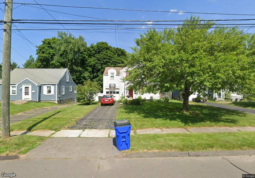
14 Buckland Rd Wethersfield, CT 06109
Estimated Value: $322,000 - $364,874
3
Beds
2
Baths
1,556
Sq Ft
$218/Sq Ft
Est. Value
About This Home
This home is located at 14 Buckland Rd, Wethersfield, CT 06109 and is currently estimated at $339,469, approximately $218 per square foot. 14 Buckland Rd is a home located in Hartford County with nearby schools including Charles Wright School, Silas Deane Middle School, and Wethersfield High School.
Ownership History
Date
Name
Owned For
Owner Type
Purchase Details
Closed on
May 3, 2004
Sold by
Zimmerman Barbara L
Bought by
Brody Lisa M
Current Estimated Value
Home Financials for this Owner
Home Financials are based on the most recent Mortgage that was taken out on this home.
Original Mortgage
$176,900
Outstanding Balance
$82,123
Interest Rate
5.36%
Estimated Equity
$257,346
Purchase Details
Closed on
Jan 12, 1995
Sold by
Zimmerman Thomas E and Difazio Carol
Bought by
Zimmerman Barbara L
Create a Home Valuation Report for This Property
The Home Valuation Report is an in-depth analysis detailing your home's value as well as a comparison with similar homes in the area
Home Values in the Area
Average Home Value in this Area
Purchase History
| Date | Buyer | Sale Price | Title Company |
|---|---|---|---|
| Brody Lisa M | $191,900 | -- | |
| Zimmerman Barbara L | $61,000 | -- |
Source: Public Records
Mortgage History
| Date | Status | Borrower | Loan Amount |
|---|---|---|---|
| Closed | Zimmerman Barbara L | $33,000 | |
| Closed | Zimmerman Barbara L | $35,000 | |
| Closed | Zimmerman Barbara L | $20,000 | |
| Open | Zimmerman Barbara L | $176,900 |
Source: Public Records
Tax History
| Year | Tax Paid | Tax Assessment Tax Assessment Total Assessment is a certain percentage of the fair market value that is determined by local assessors to be the total taxable value of land and additions on the property. | Land | Improvement |
|---|---|---|---|---|
| 2025 | $8,218 | $199,360 | $69,260 | $130,100 |
| 2024 | $6,209 | $143,660 | $64,400 | $79,260 |
| 2023 | $6,002 | $143,660 | $64,400 | $79,260 |
| 2022 | $5,902 | $143,660 | $64,400 | $79,260 |
| 2021 | $5,843 | $143,660 | $64,400 | $79,260 |
| 2020 | $5,846 | $143,660 | $64,400 | $79,260 |
| 2019 | $5,853 | $143,660 | $64,400 | $79,260 |
| 2018 | $5,465 | $134,000 | $58,500 | $75,500 |
| 2017 | $5,329 | $134,000 | $58,500 | $75,500 |
| 2016 | $5,164 | $134,000 | $58,500 | $75,500 |
| 2015 | $5,117 | $134,000 | $58,500 | $75,500 |
| 2014 | $4,923 | $134,000 | $58,500 | $75,500 |
Source: Public Records
Map
Nearby Homes
- 219 Jordan Ln Unit 221
- 18 Avalon Place
- 704 Franklin Ave
- 28 Bolton St
- 90 Goodwin Park Rd
- 493 Main St
- 80 Cowles St
- 97 Brussels Ave
- 19 Albert Ave
- 240 South St Unit 242
- 87 Somerset St
- 91 Somerset St
- 167 Campfield Ave
- 1310 Berlin Turnpike Unit 223
- 70 Otis St Unit 72
- 42 Bliss St
- 12 Bates Place
- 43 Yale St
- 35 Stillwold Dr
- 1954 Broad St
Your Personal Tour Guide
Ask me questions while you tour the home.