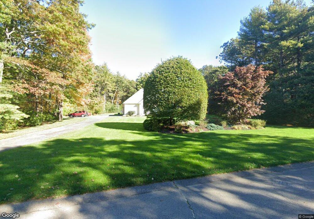
14 Cameron Way Rehoboth, MA 02769
Estimated Value: $910,044 - $1,225,000
4
Beds
3
Baths
3,012
Sq Ft
$353/Sq Ft
Est. Value
About This Home
This home is located at 14 Cameron Way, Rehoboth, MA 02769 and is currently estimated at $1,064,261, approximately $353 per square foot. 14 Cameron Way is a home located in Bristol County with nearby schools including Dighton-Rehoboth Regional High School.
Ownership History
Date
Name
Owned For
Owner Type
Purchase Details
Closed on
Aug 12, 2025
Sold by
Carro Lisa and Carro Robert A
Bought by
Robert A & Lisa Carro Lt and Carro
Current Estimated Value
Purchase Details
Closed on
Nov 21, 1997
Sold by
Chaloner Corp
Bought by
Carro Robert A and Carro Lisa
Create a Home Valuation Report for This Property
The Home Valuation Report is an in-depth analysis detailing your home's value as well as a comparison with similar homes in the area
Home Values in the Area
Average Home Value in this Area
Purchase History
| Date | Buyer | Sale Price | Title Company |
|---|---|---|---|
| Robert A & Lisa Carro Lt | -- | -- | |
| Robert A & Lisa Carro Lt | -- | -- | |
| Carro Robert A | $85,600 | -- | |
| Carro Robert A | $85,600 | -- |
Source: Public Records
Mortgage History
| Date | Status | Borrower | Loan Amount |
|---|---|---|---|
| Previous Owner | Carro Robert A | $174,000 | |
| Previous Owner | Carro Robert A | $110,000 | |
| Previous Owner | Carro Robert A | $87,000 |
Source: Public Records
Tax History
| Year | Tax Paid | Tax Assessment Tax Assessment Total Assessment is a certain percentage of the fair market value that is determined by local assessors to be the total taxable value of land and additions on the property. | Land | Improvement |
|---|---|---|---|---|
| 2025 | $9,398 | $842,900 | $242,800 | $600,100 |
| 2024 | $8,479 | $746,400 | $225,500 | $520,900 |
| 2023 | $8,929 | $771,100 | $254,700 | $516,400 |
| 2022 | $7,940 | $626,700 | $195,500 | $431,200 |
| 2021 | $3,249 | $629,200 | $178,400 | $450,800 |
| 2020 | $8,157 | $621,700 | $189,700 | $432,000 |
| 2018 | $6,919 | $578,000 | $185,200 | $392,800 |
| 2017 | $6,609 | $526,200 | $200,600 | $325,600 |
| 2016 | $6,487 | $533,900 | $208,300 | $325,600 |
| 2015 | $6,366 | $517,100 | $198,500 | $318,600 |
| 2014 | $6,312 | $507,400 | $188,800 | $318,600 |
Source: Public Records
Map
Nearby Homes
Your Personal Tour Guide
Ask me questions while you tour the home.