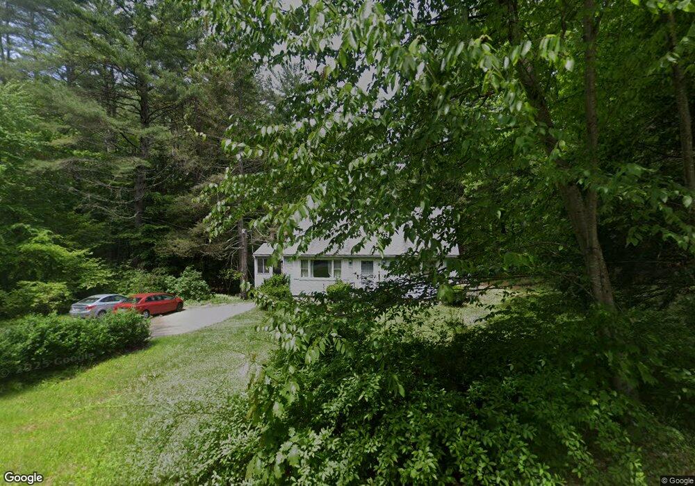
14 Carrington Rd Huntington, MA 01050
Estimated Value: $258,000 - $308,000
3
Beds
2
Baths
1,512
Sq Ft
$188/Sq Ft
Est. Value
About This Home
This home is located at 14 Carrington Rd, Huntington, MA 01050 and is currently estimated at $284,415, approximately $188 per square foot. 14 Carrington Rd is a home located in Hampden County with nearby schools including Gateway Regional High School.
Ownership History
Date
Name
Owned For
Owner Type
Purchase Details
Closed on
Jul 16, 2004
Sold by
Lafield Donald E and Lafield Gary A
Bought by
Lafield Donald E
Current Estimated Value
Home Financials for this Owner
Home Financials are based on the most recent Mortgage that was taken out on this home.
Original Mortgage
$140,000
Outstanding Balance
$70,079
Interest Rate
6.25%
Mortgage Type
Purchase Money Mortgage
Estimated Equity
$214,336
Create a Home Valuation Report for This Property
The Home Valuation Report is an in-depth analysis detailing your home's value as well as a comparison with similar homes in the area
Home Values in the Area
Average Home Value in this Area
Purchase History
| Date | Buyer | Sale Price | Title Company |
|---|---|---|---|
| Lafield Donald E | $129,600 | -- |
Source: Public Records
Mortgage History
| Date | Status | Borrower | Loan Amount |
|---|---|---|---|
| Open | Lafield Donald E | $140,000 |
Source: Public Records
Tax History Compared to Growth
Tax History
| Year | Tax Paid | Tax Assessment Tax Assessment Total Assessment is a certain percentage of the fair market value that is determined by local assessors to be the total taxable value of land and additions on the property. | Land | Improvement |
|---|---|---|---|---|
| 2025 | $2,578 | $227,300 | $87,800 | $139,500 |
| 2024 | $2,628 | $206,300 | $87,800 | $118,500 |
| 2023 | $2,566 | $172,800 | $80,200 | $92,600 |
| 2022 | $2,411 | $172,800 | $80,200 | $92,600 |
| 2021 | $2,328 | $167,500 | $80,200 | $87,300 |
| 2020 | $2,390 | $175,500 | $79,400 | $96,100 |
| 2019 | $2,320 | $175,500 | $79,400 | $96,100 |
| 2018 | $2,303 | $172,100 | $79,400 | $92,700 |
| 2017 | $2,362 | $171,300 | $84,600 | $86,700 |
| 2016 | $2,431 | $171,300 | $84,600 | $86,700 |
| 2015 | $2,493 | $173,500 | $84,600 | $88,900 |
| 2014 | $2,459 | $173,200 | $84,600 | $88,600 |
Source: Public Records
Map
Nearby Homes
- 16 Crescent St
- 7 Stanton Ave
- 8 Basket St
- 0 Old Chester Rd
- 25 Basket St
- 1172 Huntington Rd
- 9 Russell Rd
- 0 Goss Hill Rd Unit 73369147
- 49 Old Chester Rd
- 11 Mount Laurel Dr Unit 57
- 0 Skyline Trail
- 31 Skyline Trail
- 14 Sampson Rd
- 347 Huntington Rd
- 0 Pond Brook Rd Unit 73326747
- 510 Pine Hill Rd
- 12 Pond Brook Rd
- 1 Searle Rd
- 79 Pine Ridge Rd
- 58 North Rd
- 9 Carrington Rd
- 11 Carrington Rd
- 20 Carrington Rd
- 7 Carrington Rd
- 1 Carrington Rd
- 27 Carrington Rd
- 494 Main Rd
- 506 Main Rd
- 0 Carrington Rd Unit 72261290
- 0 Carrington Rd Unit 71678387
- 0 Carrington Rd Unit 71834723
- 0 Carrington Rd Unit 71834721
- 0 Carrington Rd Unit 71850774
- 0 Carrington Rd Unit 71943143
- 0 Carrington Rd
- 34 Carrington Rd
- 511 Main Rd
- 477 Main Rd
- 477 Main Rd
- 23 Lambson Rd