14 Carter Ln Tifton, GA 31794
Estimated Value: $513,051 - $642,000
5
Beds
4
Baths
3,163
Sq Ft
$175/Sq Ft
Est. Value
About This Home
This home is located at 14 Carter Ln, Tifton, GA 31794 and is currently estimated at $554,513, approximately $175 per square foot. 14 Carter Ln is a home located in Tift County with nearby schools including Northside Primary School, Charles Spencer Elementary School, and J.T. Reddick School.
Ownership History
Date
Name
Owned For
Owner Type
Purchase Details
Closed on
Sep 14, 2018
Sold by
Vanorman Chad C
Bought by
Flanders James T and Flanders Theresa B
Current Estimated Value
Home Financials for this Owner
Home Financials are based on the most recent Mortgage that was taken out on this home.
Original Mortgage
$200,000
Outstanding Balance
$117,586
Interest Rate
4.5%
Mortgage Type
New Conventional
Estimated Equity
$436,927
Purchase Details
Closed on
May 11, 2011
Sold by
Colwell Parks Wallace
Bought by
Vanorman Chad C and Vanorman Amy R
Purchase Details
Closed on
Feb 7, 1994
Bought by
Brownlee Farm Center
Create a Home Valuation Report for This Property
The Home Valuation Report is an in-depth analysis detailing your home's value as well as a comparison with similar homes in the area
Home Values in the Area
Average Home Value in this Area
Purchase History
| Date | Buyer | Sale Price | Title Company |
|---|---|---|---|
| Flanders James T | $410,000 | -- | |
| Vanorman Chad C | $319,000 | -- | |
| Brownlee Farm Center | -- | -- |
Source: Public Records
Mortgage History
| Date | Status | Borrower | Loan Amount |
|---|---|---|---|
| Open | Flanders James T | $200,000 |
Source: Public Records
Tax History Compared to Growth
Tax History
| Year | Tax Paid | Tax Assessment Tax Assessment Total Assessment is a certain percentage of the fair market value that is determined by local assessors to be the total taxable value of land and additions on the property. | Land | Improvement |
|---|---|---|---|---|
| 2024 | $5,759 | $194,170 | $14,900 | $179,270 |
| 2023 | $3,982 | $134,154 | $19,800 | $114,354 |
| 2022 | $3,982 | $134,154 | $19,800 | $114,354 |
| 2021 | $4,005 | $134,154 | $19,800 | $114,354 |
| 2020 | $4,082 | $134,154 | $19,800 | $114,354 |
| 2019 | $4,073 | $134,154 | $19,800 | $114,354 |
| 2018 | $4,068 | $134,154 | $19,800 | $114,354 |
| 2017 | $4,086 | $134,154 | $19,800 | $114,354 |
Source: Public Records
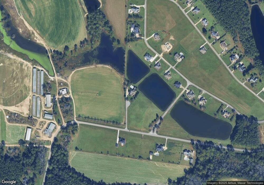
Map
Nearby Homes
- 126 Brownlee Cir
- 0 Belflower Rd Unit 24022932
- 0 Belflower Rd Unit 138547
- 0 Belflower Rd Unit 10554704
- 2110 Old Ocilla Road New River Church Rd
- Lot 3 Limerick Ln
- 0 E 46th St
- 913 E 46th St
- 903 42nd St E
- 0 Brighton Rd
- 0 44th St E
- 717 E 44th St
- 714 44th St E
- 4204 Lakeview Dr
- 2612 Goff St
- 346 Somers Ln
- 2225 Meadowbrook Dr
- 2417 Belmont Ave
- 2411 Davis Ave
- 0 Old Ocilla Rd Unit 10611000
- 0 Carter Ln
- 156 Brownlee Cir
- 0 Olen Rd
- 168 Brownlee Cir
- 174 Brownlee Cir
- 252 Belflower Rd
- 165 Brownlee Cir
- 6 Brownlee Cir
- 151 Brownlee Cir
- 146 Brownlee Cir
- 276 Belflower Rd
- 231 Belflower Rd
- 10 Brownlee Cir
- 138 Brownlee Cir
- 288 Belflower Rd
- 62 Brownlee Crircle
- 24 Brownlee Cir
- 92 Brownlee Cir
- 98 Brownlee Cir
- 104 Brownlee Cir