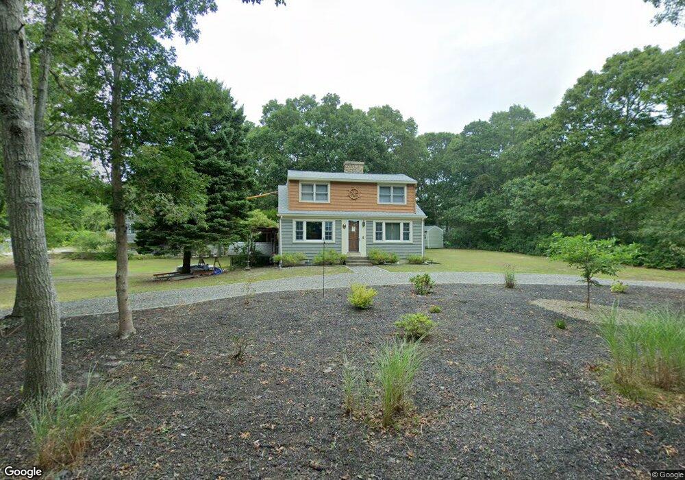
14 Circuit Rd West Yarmouth, MA 02673
South Yarmouth NeighborhoodEstimated Value: $450,000 - $528,000
2
Beds
1
Bath
1,008
Sq Ft
$491/Sq Ft
Est. Value
About This Home
This home is located at 14 Circuit Rd, West Yarmouth, MA 02673 and is currently estimated at $494,972, approximately $491 per square foot. 14 Circuit Rd is a home located in Barnstable County with nearby schools including Dennis-Yarmouth Regional High School, Sturgis Charter Public School, and St. Pius X. School.
Ownership History
Date
Name
Owned For
Owner Type
Purchase Details
Closed on
Feb 17, 2010
Sold by
Gmac Mortgage Llc
Bought by
Hickey Patrick G and Hickey Leslie M
Current Estimated Value
Purchase Details
Closed on
Feb 10, 2010
Sold by
Bowen William R
Bought by
Gmac Mortgage Llc
Purchase Details
Closed on
Feb 26, 1999
Sold by
Pipatti Donald E
Bought by
Bowen William R
Home Financials for this Owner
Home Financials are based on the most recent Mortgage that was taken out on this home.
Original Mortgage
$79,959
Interest Rate
6.78%
Mortgage Type
Purchase Money Mortgage
Create a Home Valuation Report for This Property
The Home Valuation Report is an in-depth analysis detailing your home's value as well as a comparison with similar homes in the area
Home Values in the Area
Average Home Value in this Area
Purchase History
| Date | Buyer | Sale Price | Title Company |
|---|---|---|---|
| Hickey Patrick G | $122,500 | -- | |
| Gmac Mortgage Llc | $144,500 | -- | |
| Bowen William R | $80,000 | -- |
Source: Public Records
Mortgage History
| Date | Status | Borrower | Loan Amount |
|---|---|---|---|
| Previous Owner | Bowen William R | $125,000 | |
| Previous Owner | Bowen William R | $79,959 | |
| Previous Owner | Bowen William R | $10,500 |
Source: Public Records
Tax History Compared to Growth
Tax History
| Year | Tax Paid | Tax Assessment Tax Assessment Total Assessment is a certain percentage of the fair market value that is determined by local assessors to be the total taxable value of land and additions on the property. | Land | Improvement |
|---|---|---|---|---|
| 2025 | $2,891 | $408,300 | $146,500 | $261,800 |
| 2024 | $2,872 | $389,200 | $154,400 | $234,800 |
| 2023 | $2,850 | $351,400 | $137,700 | $213,700 |
| 2022 | $2,619 | $285,300 | $123,900 | $161,400 |
| 2021 | $2,596 | $271,600 | $123,900 | $147,700 |
| 2020 | $2,538 | $253,800 | $123,900 | $129,900 |
| 2019 | $2,405 | $238,100 | $123,900 | $114,200 |
| 2018 | $2,214 | $215,200 | $101,000 | $114,200 |
| 2017 | $2,113 | $210,900 | $101,000 | $109,900 |
| 2016 | $2,013 | $201,700 | $91,800 | $109,900 |
| 2015 | $1,921 | $191,300 | $91,800 | $99,500 |
Source: Public Records
Map
Nearby Homes
- 20 Robin Rd
- 274 Winslow Gray Rd
- 33 Lake Rd
- 23 Circuit Rd N
- 11 Bob-O-link Ln
- 68 Bob-O-link Ln
- 844 Route 28 Unit 2A
- 844 Route 28 Unit 9B
- 844 Route 28 Unit 2A
- 27 Angus Ave
- 24 Fast Brook Rd
- 17 Angus Ave
- 2 Candlewood Ln
- 26 Howes Rd
- 8 Rogers Ave
- 54 Boxberry Ln
- 2 Ocean Spray Ln
- 3 Saturn Ln
- 55 Pawkannawkut Dr
- 3 Andy Ln