14 Coles Island Rd Gloucester, MA 01930
West Gloucester NeighborhoodEstimated Value: $713,000 - $1,339,161
3
Beds
3
Baths
2,410
Sq Ft
$418/Sq Ft
Est. Value
About This Home
This home is located at 14 Coles Island Rd, Gloucester, MA 01930 and is currently estimated at $1,007,790, approximately $418 per square foot. 14 Coles Island Rd is a home located in Essex County with nearby schools including West Parish, Ralph B O'maley Middle School, and Faith Christian School.
Ownership History
Date
Name
Owned For
Owner Type
Purchase Details
Closed on
Jan 20, 2000
Sold by
Covington Bonnie G and Covingto Christopher H
Bought by
Mctiernan Jennifer L and Mctiernan James P
Current Estimated Value
Create a Home Valuation Report for This Property
The Home Valuation Report is an in-depth analysis detailing your home's value as well as a comparison with similar homes in the area
Home Values in the Area
Average Home Value in this Area
Purchase History
| Date | Buyer | Sale Price | Title Company |
|---|---|---|---|
| Mctiernan Jennifer L | $257,000 | -- |
Source: Public Records
Mortgage History
| Date | Status | Borrower | Loan Amount |
|---|---|---|---|
| Open | Mctiernan Jennifer L | $100,000 | |
| Open | Mctiernan Jennifer L | $267,000 | |
| Closed | Mctiernan Jennifer L | $250,000 | |
| Closed | Mctiernan Jennifer L | $100,000 |
Source: Public Records
Tax History Compared to Growth
Tax History
| Year | Tax Paid | Tax Assessment Tax Assessment Total Assessment is a certain percentage of the fair market value that is determined by local assessors to be the total taxable value of land and additions on the property. | Land | Improvement |
|---|---|---|---|---|
| 2025 | $11,525 | $1,185,700 | $767,000 | $418,700 |
| 2024 | $11,136 | $1,144,500 | $730,400 | $414,100 |
| 2023 | $10,440 | $985,800 | $623,200 | $362,600 |
| 2022 | $10,192 | $868,900 | $541,700 | $327,200 |
| 2021 | $9,845 | $791,400 | $493,100 | $298,300 |
| 2020 | $9,775 | $792,800 | $493,100 | $299,700 |
| 2019 | $9,408 | $741,400 | $470,200 | $271,200 |
| 2018 | $9,180 | $710,000 | $458,700 | $251,300 |
| 2017 | $8,914 | $675,800 | $437,100 | $238,700 |
| 2016 | $8,634 | $634,400 | $418,300 | $216,100 |
| 2015 | $8,309 | $608,700 | $408,700 | $200,000 |
Source: Public Records
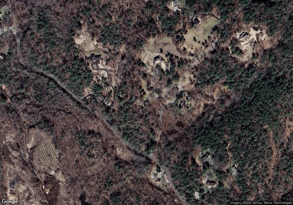
Map
Nearby Homes
- 30 Atlantic St
- 7 Leaman Dr
- 188 Atlantic St
- 226 Atlantic St
- 11 Overlook Ave
- 109 Riverview Rd
- 587 Essex Ave
- 49 Thurston Point Rd
- 368 Essex Ave
- 5 Samoset Rd Unit A
- 6 River Rd
- 227 Essex Ave
- 12 Woodward Ave
- 139 Eastern Ave
- 672 Washington St
- 145 Essex Ave Unit 610
- 18 Cherry St
- 6 Beauport Ave
- 65 Poplar St
- 196 Washington St