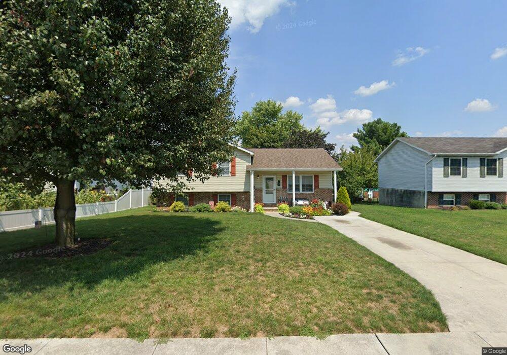
14 Colonial Ct Unit 23 Littlestown, PA 17340
Estimated Value: $268,493 - $345,000
3
Beds
2
Baths
1,136
Sq Ft
$255/Sq Ft
Est. Value
About This Home
This home is located at 14 Colonial Ct Unit 23, Littlestown, PA 17340 and is currently estimated at $289,873, approximately $255 per square foot. 14 Colonial Ct Unit 23 is a home located in Adams County with nearby schools including Rolling Acres El School, Maple Avenue Middle School, and Littlestown Senior High School.
Ownership History
Date
Name
Owned For
Owner Type
Purchase Details
Closed on
Aug 25, 2010
Sold by
Fannie Mae
Bought by
Womaski Albert C and Womaski Amy S
Current Estimated Value
Purchase Details
Closed on
Aug 20, 2010
Sold by
Wasco Marie E
Bought by
Fannie Mae
Create a Home Valuation Report for This Property
The Home Valuation Report is an in-depth analysis detailing your home's value as well as a comparison with similar homes in the area
Home Values in the Area
Average Home Value in this Area
Purchase History
| Date | Buyer | Sale Price | Title Company |
|---|---|---|---|
| Womaski Albert C | $108,500 | -- | |
| Fannie Mae | $1,945 | -- |
Source: Public Records
Tax History
| Year | Tax Paid | Tax Assessment Tax Assessment Total Assessment is a certain percentage of the fair market value that is determined by local assessors to be the total taxable value of land and additions on the property. | Land | Improvement |
|---|---|---|---|---|
| 2025 | $4,073 | $177,200 | $38,700 | $138,500 |
| 2024 | $3,926 | $177,200 | $38,700 | $138,500 |
| 2023 | $3,773 | $177,200 | $38,700 | $138,500 |
| 2022 | $3,750 | $177,200 | $38,700 | $138,500 |
| 2021 | $3,639 | $177,200 | $38,700 | $138,500 |
| 2020 | $3,596 | $177,200 | $38,700 | $138,500 |
| 2019 | $2,807 | $177,200 | $38,700 | $138,500 |
| 2018 | $3,425 | $177,200 | $38,700 | $138,500 |
| 2017 | $3,336 | $177,200 | $38,700 | $138,500 |
| 2016 | -- | $201,300 | $38,700 | $162,600 |
| 2015 | -- | $201,300 | $38,700 | $162,600 |
| 2014 | -- | $201,300 | $38,700 | $162,600 |
Source: Public Records
Map
Nearby Homes
- 484 S Columbus Ave Unit 19
- 230 M St
- 17 Mason Dixon Dr Unit 84
- 102 Cemetery St
- 161 Cemetery St
- 117 Charles St
- 115 Charles St
- 311 S Columbus Ave Unit 128
- 141 W King St
- 45 James Ave
- 11 Yorktowne Ct Unit 96
- 15 Yorktowne Ct Unit 97
- 102 N Queen St
- 36 W Summit Dr
- 535 Lumber St
- 559 Lumber St
- 567 Lumber St
- 14 Revere Ct Unit 71
- 41 Smith Cir
- 162 Newark St
- 20 Colonial Ct Unit 24
- 499 S Columbus Ave Unit 22
- 26 Colonial Ct Unit 25
- 15 Colonial Ct Unit 31
- 495 S Columbus Ave Unit 32
- 21 Colonial Ct Unit 30
- 503 S Queen St
- 521 S Queen St
- 515 S Queen St Unit First Floor
- 515 S Queen St Unit 2nd Floor
- 515 S Queen St
- 32 Colonial Ct Unit 26
- 27 Colonial Ct Unit 29
- 496 S Columbus Ave Unit 21
- 435 S Queen St
- 35 Colonial Ct
- 14 Constitution Ct Unit 34
- 483 S Columbus Ave Unit 33
- 20 Constitution Ct Unit 35
- 439 S Queen St Unit 6
Your Personal Tour Guide
Ask me questions while you tour the home.