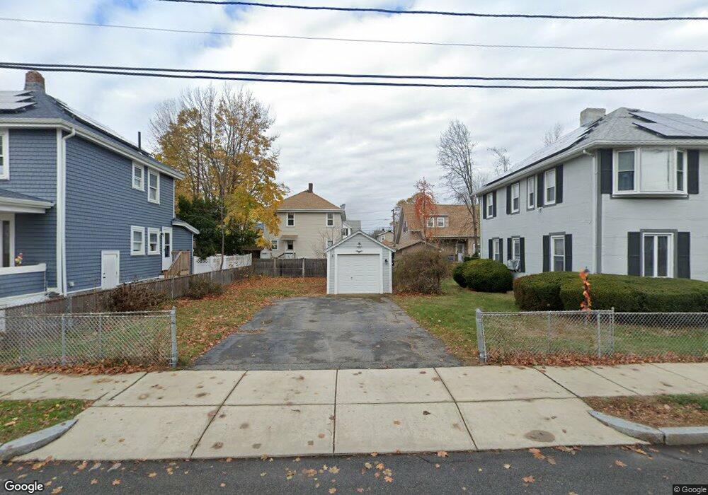
14 Conant Rd Quincy, MA 02171
Estimated Value: $818,000 - $923,000
4
Beds
2
Baths
2,098
Sq Ft
$420/Sq Ft
Est. Value
About This Home
This home is located at 14 Conant Rd, Quincy, MA 02171 and is currently estimated at $881,381, approximately $420 per square foot. 14 Conant Rd is a home located in Norfolk County with nearby schools including Squantum Elementary School, Atlantic Middle School, and North Quincy High School.
Ownership History
Date
Name
Owned For
Owner Type
Purchase Details
Closed on
Jan 8, 2025
Sold by
Coletta Diane M and Coletta Alfred L
Bought by
Coletta Rt Of 2025 and Coletta
Current Estimated Value
Purchase Details
Closed on
Sep 28, 1998
Sold by
He Qing L
Bought by
Coletta Alfred L and Coletta Diane M
Purchase Details
Closed on
Nov 23, 1993
Sold by
Osullivan Richard P and Osullivan Teresa B
Bought by
Zhang Zue Yun
Create a Home Valuation Report for This Property
The Home Valuation Report is an in-depth analysis detailing your home's value as well as a comparison with similar homes in the area
Home Values in the Area
Average Home Value in this Area
Purchase History
| Date | Buyer | Sale Price | Title Company |
|---|---|---|---|
| Coletta Rt Of 2025 | -- | None Available | |
| Coletta Rt Of 2025 | -- | None Available | |
| Coletta Alfred L | $210,000 | -- | |
| Zhang Zue Yun | $169,900 | -- |
Source: Public Records
Tax History Compared to Growth
Tax History
| Year | Tax Paid | Tax Assessment Tax Assessment Total Assessment is a certain percentage of the fair market value that is determined by local assessors to be the total taxable value of land and additions on the property. | Land | Improvement |
|---|---|---|---|---|
| 2025 | $9,172 | $795,500 | $398,400 | $397,100 |
| 2024 | $8,875 | $787,500 | $398,400 | $389,100 |
| 2023 | $8,060 | $724,200 | $362,200 | $362,000 |
| 2022 | $7,600 | $634,400 | $289,700 | $344,700 |
| 2021 | $7,475 | $615,700 | $289,700 | $326,000 |
| 2020 | $7,373 | $593,200 | $284,000 | $309,200 |
| 2019 | $7,127 | $567,900 | $273,100 | $294,800 |
| 2018 | $7,105 | $532,600 | $260,100 | $272,500 |
| 2017 | $6,632 | $468,000 | $236,500 | $231,500 |
| 2016 | $6,178 | $430,200 | $215,000 | $215,200 |
| 2015 | $5,735 | $392,800 | $195,400 | $197,400 |
| 2014 | $5,587 | $376,000 | $195,400 | $180,600 |
Source: Public Records
Map
Nearby Homes
- 25 Hummock Rd
- 18 Hummock Rd
- 201 Billings St
- 185 Quincy Shore Dr Unit A28
- 165 Quincy Shore Dr Unit C63
- 77 Botolph St
- 148 Quincy Shore Dr Unit 30
- 94 Newbury Ave Unit 100
- 158 Quincy Shore Dr Unit 78
- 90 Shore Ave
- 1 Edwin St Unit C
- 90 Quincy Shore Dr Unit 501
- 90 Quincy Shore Dr Unit 701
- 57 Quincy Shore Dr Unit 614
- 57 Quincy Shore Dr Unit PH South
- 133 Commander Shea Blvd Unit 219
- 133 Commander Shea Blvd Unit 506
- 133 Commander Shea Blvd Unit 215
- 133 Commander Shea Blvd Unit 315
- 150 Hancock St Unit 102