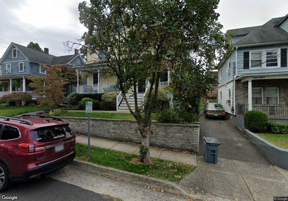
14 Covert St Port Washington, NY 11050
Estimated Value: $1,475,000 - $1,610,052
3
Beds
3
Baths
2,052
Sq Ft
$752/Sq Ft
Est. Value
About This Home
This home is located at 14 Covert St, Port Washington, NY 11050 and is currently estimated at $1,542,526, approximately $751 per square foot. 14 Covert St is a home located in Nassau County with nearby schools including John Philip Sousa Elementary School, Carrie Palmer Weber Middle School, and Paul D. Schreiber Senior High School.
Ownership History
Date
Name
Owned For
Owner Type
Purchase Details
Closed on
Apr 7, 2016
Sold by
Cirker Seth and Cirker Sarah
Bought by
Spoonhower Paul and Walsh Kathleen
Current Estimated Value
Home Financials for this Owner
Home Financials are based on the most recent Mortgage that was taken out on this home.
Original Mortgage
$760,000
Outstanding Balance
$603,774
Interest Rate
3.68%
Mortgage Type
New Conventional
Estimated Equity
$938,752
Purchase Details
Closed on
Jul 1, 2003
Sold by
Perretti James
Bought by
Cirker Seth
Purchase Details
Closed on
May 9, 2001
Sold by
Perretti James and Perretti Linda
Bought by
Perretti James
Purchase Details
Closed on
May 29, 1998
Sold by
Mulligan William and Mulligan Nancy
Bought by
Perretti James and Perretti Linda
Create a Home Valuation Report for This Property
The Home Valuation Report is an in-depth analysis detailing your home's value as well as a comparison with similar homes in the area
Home Values in the Area
Average Home Value in this Area
Purchase History
| Date | Buyer | Sale Price | Title Company |
|---|---|---|---|
| Spoonhower Paul | $950,000 | The Judicial Title Insurance | |
| Cirker Seth | $775,000 | -- | |
| Perretti James | $475,000 | Robert Atken | |
| Perretti James | $150,000 | -- |
Source: Public Records
Mortgage History
| Date | Status | Borrower | Loan Amount |
|---|---|---|---|
| Open | Spoonhower Paul | $760,000 |
Source: Public Records
Tax History Compared to Growth
Tax History
| Year | Tax Paid | Tax Assessment Tax Assessment Total Assessment is a certain percentage of the fair market value that is determined by local assessors to be the total taxable value of land and additions on the property. | Land | Improvement |
|---|---|---|---|---|
| 2025 | $25,049 | $1,069 | $407 | $662 |
| 2024 | $7,567 | $1,069 | $407 | $662 |
| 2023 | $22,280 | $1,058 | $403 | $655 |
| 2022 | $22,233 | $1,069 | $407 | $662 |
| 2021 | $22,609 | $1,092 | $386 | $706 |
| 2020 | $22,609 | $1,719 | $1,195 | $524 |
| 2019 | $23,994 | $1,669 | $1,195 | $474 |
| 2018 | $21,863 | $1,669 | $0 | $0 |
| 2017 | $11,836 | $1,669 | $1,195 | $474 |
| 2016 | $18,595 | $1,669 | $1,195 | $474 |
| 2015 | $6,568 | $1,669 | $1,195 | $474 |
| 2014 | $6,568 | $1,669 | $1,195 | $474 |
| 2013 | $6,181 | $1,669 | $1,195 | $474 |
Source: Public Records
Map
Nearby Homes
- 20 Prospect Ave
- 2 Smull Ln
- 433 Main St Unit 203
- 4 3rd Ave
- 18 S Washington St
- 47 Carlton Ave
- 454 Main St
- 29 5th Ave
- 0 Route 5 & 20
- 16 Bayview Ave
- 28 Charles St
- 38 Madison St Unit 38L
- 5 Ridgeway Rd
- 7 Reid Ave
- 85 Webster Ave
- 74 Bayview Ave Unit A
- 30 Monroe St
- 1 Toms Point Ln Unit Bldg.2, Apt.4A
- 125 Main St Unit 2H
- 96 Davis Rd