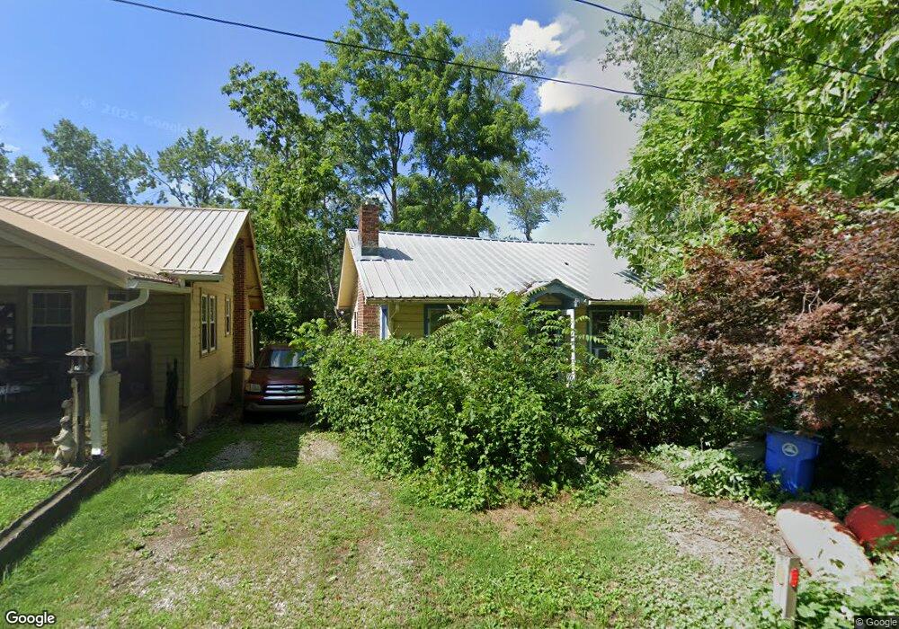
14 Cowan Rd Asheville, NC 28806
West Asheville NeighborhoodEstimated Value: $306,000 - $337,000
1
Bed
1
Bath
729
Sq Ft
$443/Sq Ft
Est. Value
About This Home
This home is located at 14 Cowan Rd, Asheville, NC 28806 and is currently estimated at $322,753, approximately $442 per square foot. 14 Cowan Rd is a home located in Buncombe County with nearby schools including Hall Fletcher Elementary, Isaac Dickson Elementary, and Ira B Jones Elementary.
Ownership History
Date
Name
Owned For
Owner Type
Purchase Details
Closed on
May 14, 2003
Sold by
Weed Robert H
Bought by
Johnson Todd H and Johnson Naomi E
Current Estimated Value
Home Financials for this Owner
Home Financials are based on the most recent Mortgage that was taken out on this home.
Original Mortgage
$44,200
Interest Rate
5.82%
Purchase Details
Closed on
Mar 24, 2003
Sold by
Rider Lancaster Paige and Young Craig Austin
Bought by
Weed Robert H
Home Financials for this Owner
Home Financials are based on the most recent Mortgage that was taken out on this home.
Original Mortgage
$44,200
Interest Rate
5.82%
Create a Home Valuation Report for This Property
The Home Valuation Report is an in-depth analysis detailing your home's value as well as a comparison with similar homes in the area
Home Values in the Area
Average Home Value in this Area
Purchase History
| Date | Buyer | Sale Price | Title Company |
|---|---|---|---|
| Johnson Todd H | $71,000 | -- | |
| Weed Robert H | $52,000 | -- |
Source: Public Records
Mortgage History
| Date | Status | Borrower | Loan Amount |
|---|---|---|---|
| Previous Owner | Weed Robert H | $44,200 |
Source: Public Records
Tax History Compared to Growth
Tax History
| Year | Tax Paid | Tax Assessment Tax Assessment Total Assessment is a certain percentage of the fair market value that is determined by local assessors to be the total taxable value of land and additions on the property. | Land | Improvement |
|---|---|---|---|---|
| 2025 | $1,986 | $192,200 | $76,500 | $115,700 |
| 2024 | $1,986 | $192,200 | $76,500 | $115,700 |
| 2023 | $1,986 | $192,200 | $76,500 | $115,700 |
| 2022 | $1,917 | $192,200 | $0 | $0 |
| 2021 | $1,917 | $192,200 | $0 | $0 |
| 2020 | $1,551 | $143,900 | $0 | $0 |
| 2019 | $1,551 | $143,900 | $0 | $0 |
| 2018 | $1,551 | $143,900 | $0 | $0 |
| 2017 | $1,565 | $79,000 | $0 | $0 |
| 2016 | $971 | $79,000 | $0 | $0 |
| 2015 | $971 | $79,000 | $0 | $0 |
| 2014 | $959 | $79,000 | $0 | $0 |
Source: Public Records
Map
Nearby Homes
- 99 Nevada Ave
- 75 Nevada Ave
- 91 Virginia Ave
- 68 1/2 Nevada Ave
- 56 Brevard Rd
- 18 Jarrett St
- 99999 State St
- 89 Galax Ave
- 153 State St
- 141 State St
- 199 Pennsylvania Ave
- 54 Louisiana Ave
- 18 Sand Hill Rd
- 25 Gratitude Dr
- 30 Sand Hill Rd
- 55 Herron Ave
- 60 Dorchester Ave
- 12 Rex Dr
- 12 & 9999 Rex Dr
- 17 & 19 Hubbard Ave
- 10 Cowan Rd
- 16 Cowan Rd
- 58 Virginia Ave
- 95 Nevada Ave
- 72 Virginia Ave
- 64 Virginia Ave
- 91 Nevada Ave Unit 2
- 91 Nevada Ave
- 91 Nevada Ave Unit 1
- 87 Nevada Ave
- 76 Virginia Ave
- 80 Virginia Ave
- 103 Nevada Ave
- 71 Nevada Ave
- 44 Virginia Ave
- 65 Virginia Ave
- 51 Virginia Ave
- 67 Virginia Ave
- 88 Nevada Ave
- 49 Virginia Ave