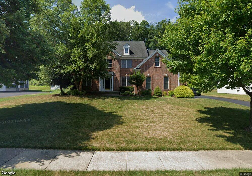
14 David Dr Whippany, NJ 07981
Estimated Value: $1,011,639 - $1,363,000
Studio
--
Bath
2,773
Sq Ft
$448/Sq Ft
Est. Value
About This Home
This home is located at 14 David Dr, Whippany, NJ 07981 and is currently estimated at $1,242,160, approximately $447 per square foot. 14 David Dr is a home located in Morris County with nearby schools including Whippany Park High School, Arrow Academy, and The Morristown-Beard School.
Ownership History
Date
Name
Owned For
Owner Type
Purchase Details
Closed on
May 20, 2015
Sold by
Lee Gary and Lee Antai
Bought by
Lee Vivian
Current Estimated Value
Purchase Details
Closed on
Jan 13, 2006
Sold by
Forest Hill Developers
Bought by
Natai Lee and Yungtzen Tung
Home Financials for this Owner
Home Financials are based on the most recent Mortgage that was taken out on this home.
Original Mortgage
$280,000
Interest Rate
5.87%
Mortgage Type
New Conventional
Create a Home Valuation Report for This Property
The Home Valuation Report is an in-depth analysis detailing your home's value as well as a comparison with similar homes in the area
Home Values in the Area
Average Home Value in this Area
Purchase History
We collect this data history from publicly available records. To have your information removed, we recommend requesting removal directly through your county’s website.
| Date | Buyer | Sale Price | Title Company |
|---|---|---|---|
| Lee Vivian | -- | None Available | |
| Natai Lee | $853,849 | -- |
Source: Public Records
Mortgage History
We collect this data history from publicly available records. To have your information removed, we recommend requesting removal directly through your county’s website.
| Date | Status | Borrower | Loan Amount |
|---|---|---|---|
| Closed | Natai Lee | $280,000 |
Source: Public Records
Tax History
| Year | Tax Paid | Tax Assessment Tax Assessment Total Assessment is a certain percentage of the fair market value that is determined by local assessors to be the total taxable value of land and additions on the property. | Land | Improvement |
|---|---|---|---|---|
| 2025 | $14,143 | $670,900 | $260,700 | $410,200 |
| 2024 | $14,082 | $670,900 | $260,700 | $410,200 |
| 2023 | $14,082 | $670,900 | $260,700 | $410,200 |
| 2022 | $12,881 | $670,900 | $260,700 | $410,200 |
| 2021 | $12,881 | $670,900 | $260,700 | $410,200 |
| 2020 | $12,653 | $670,900 | $260,700 | $410,200 |
| 2019 | $12,693 | $670,900 | $260,700 | $410,200 |
| 2018 | $12,472 | $670,900 | $260,700 | $410,200 |
| 2017 | $12,103 | $670,900 | $260,700 | $410,200 |
| 2016 | $11,929 | $670,900 | $260,700 | $410,200 |
| 2015 | $11,452 | $670,900 | $260,700 | $410,200 |
| 2014 | $11,204 | $670,900 | $260,700 | $410,200 |
Source: Public Records
Map
Nearby Homes
- 12 Baird Place
- 2 David Dr
- 6 Beaumont Place
- 92 Louis St
- 1240 S Beverwyck Rd
- 96 Parsippany Rd
- 25 Washington Ave
- 118 Parsippany Rd
- 2009 Vermont Terrace Unit 2009
- 320 Reynolds Ave
- 114 Sunrise Dr
- 125 Sunrise Dr Unit 1307
- 80 Sunrise Dr Unit 811
- 9 Cherbourg Rd
- 6 Breanne Ct
- 51 Sunrise Dr
- 28 Lord Stirling Dr
- 119 Reynolds Ave
- 102 Appleton Way
- 72 Schindler Ct
Your Personal Tour Guide
Ask me questions while you tour the home.