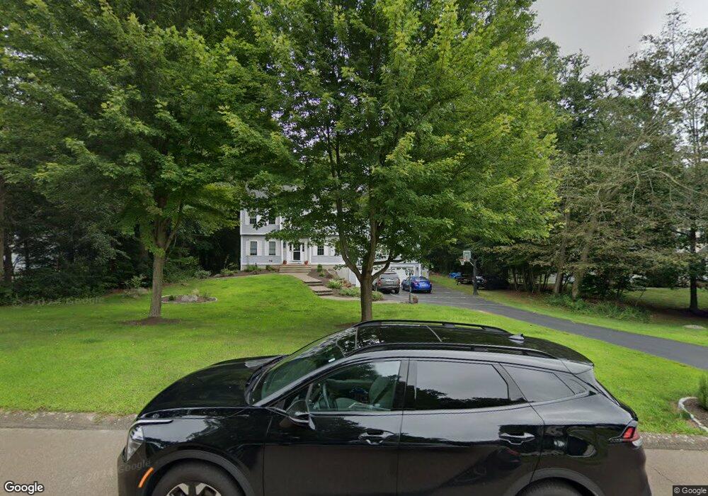
14 Davis Farm Rd Clinton, CT 06413
Estimated Value: $682,000 - $788,000
3
Beds
3
Baths
2,614
Sq Ft
$276/Sq Ft
Est. Value
About This Home
This home is located at 14 Davis Farm Rd, Clinton, CT 06413 and is currently estimated at $722,644, approximately $276 per square foot. 14 Davis Farm Rd is a home located in Middlesex County with nearby schools including Lewin G. Joel Jr. School and The Morgan School.
Ownership History
Date
Name
Owned For
Owner Type
Purchase Details
Closed on
Sep 6, 1996
Sold by
Cornerstone Constr Svc
Bought by
Jordan Monica
Current Estimated Value
Create a Home Valuation Report for This Property
The Home Valuation Report is an in-depth analysis detailing your home's value as well as a comparison with similar homes in the area
Home Values in the Area
Average Home Value in this Area
Purchase History
| Date | Buyer | Sale Price | Title Company |
|---|---|---|---|
| Jordan Monica | $202,505 | -- | |
| Cornerstone Constr Svc | $58,000 | -- | |
| Cornerstone Constr Svc | $58,000 | -- |
Source: Public Records
Mortgage History
| Date | Status | Borrower | Loan Amount |
|---|---|---|---|
| Open | Cornerstone Constr Svc | $70,000 | |
| Open | Cornerstone Constr Svc | $354,600 | |
| Closed | Cornerstone Constr Svc | $181,000 |
Source: Public Records
Tax History
| Year | Tax Paid | Tax Assessment Tax Assessment Total Assessment is a certain percentage of the fair market value that is determined by local assessors to be the total taxable value of land and additions on the property. | Land | Improvement |
|---|---|---|---|---|
| 2025 | $9,118 | $292,800 | $75,000 | $217,800 |
| 2024 | $8,860 | $292,800 | $75,000 | $217,800 |
| 2023 | $8,734 | $292,800 | $75,000 | $217,800 |
| 2022 | $8,734 | $292,800 | $75,000 | $217,800 |
| 2021 | $8,087 | $271,100 | $69,100 | $202,000 |
| 2020 | $8,472 | $271,100 | $69,100 | $202,000 |
| 2019 | $8,472 | $271,100 | $69,100 | $202,000 |
| 2018 | $8,279 | $271,100 | $69,100 | $202,000 |
| 2017 | $8,109 | $271,100 | $69,100 | $202,000 |
| 2016 | $7,358 | $271,100 | $69,100 | $202,000 |
| 2015 | $7,785 | $290,800 | $81,100 | $209,700 |
| 2014 | $7,639 | $290,800 | $81,100 | $209,700 |
Source: Public Records
Map
Nearby Homes
- 8 Egypt Ln
- 131 Cow Hill Rd
- 34 Hurd Bridge Rd
- 10 Stonewall Ln
- 106 Glenwood Rd
- 43 Evergreen Park
- 0 Fairy Dell Rd
- 50 Jefferson Cir
- 244 Cow Hill Rd
- 15 Baxter Rd
- 48A Ironworks Rd
- 4 Laurel Ln
- 73 Airline Rd
- 50 Kelseytown Rd
- 16 Silverbrook Ln
- 19 Evergreen Dr
- 6 Evergreen Dr
- 133 W Main St Unit MV1
- 133 W Main St Unit TRLR A9
- 11 Longview Terrace
- 16 Davis Farm Rd
- 19 Rocky Ledge Dr
- 18 Davis Farm Rd
- 18 Oakwood Ln
- 17 Rocky Ledge Dr
- 21 Rocky Ledge Dr
- 17 Oakwood Ln
- 23 Rocky Ledge Dr
- 14 Oakwood Ln
- 8 Davis Farm Rd
- 11 Davis Farm Rd
- 13 Davis Farm Rd
- 9 Davis Farm Rd
- 25 Rocky Ledge Dr
- 15 Oakwood Ln
- 16 Rocky Ledge Dr
- 20 Davis Farm Rd
- 0 Crestview Estates Unit 1 170098006
- 0 Crestview Estates Unit G10184891
- 00 Beach Rd Extension
Your Personal Tour Guide
Ask me questions while you tour the home.