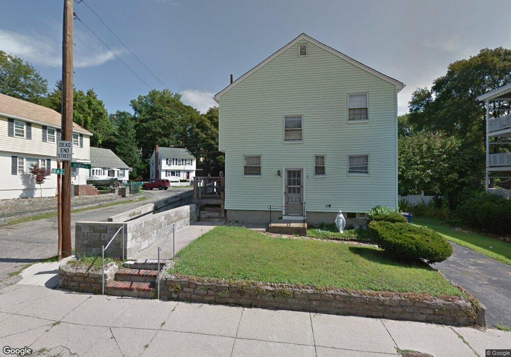
14 Delore Cir Roslindale, MA 02131
Roslindale NeighborhoodEstimated Value: $561,000 - $765,000
2
Beds
2
Baths
1,305
Sq Ft
$524/Sq Ft
Est. Value
About This Home
This home is located at 14 Delore Cir, Roslindale, MA 02131 and is currently estimated at $683,896, approximately $524 per square foot. 14 Delore Cir is a home located in Suffolk County with nearby schools including Brooke Charter School Roslindale, Sacred Heart STEM School, and St. Clare High School.
Ownership History
Date
Name
Owned For
Owner Type
Purchase Details
Closed on
Oct 6, 1995
Sold by
Orr Steven W
Bought by
Feliciano Ramon and Maisonet Gladys
Current Estimated Value
Home Financials for this Owner
Home Financials are based on the most recent Mortgage that was taken out on this home.
Original Mortgage
$96,900
Outstanding Balance
$697
Interest Rate
7.86%
Mortgage Type
Purchase Money Mortgage
Estimated Equity
$683,199
Create a Home Valuation Report for This Property
The Home Valuation Report is an in-depth analysis detailing your home's value as well as a comparison with similar homes in the area
Home Values in the Area
Average Home Value in this Area
Purchase History
| Date | Buyer | Sale Price | Title Company |
|---|---|---|---|
| Feliciano Ramon | $102,000 | -- |
Source: Public Records
Mortgage History
| Date | Status | Borrower | Loan Amount |
|---|---|---|---|
| Open | Feliciano Ramon | $20,000 | |
| Open | Feliciano Ramon | $37,388 | |
| Open | Feliciano Ramon | $96,900 |
Source: Public Records
Tax History Compared to Growth
Tax History
| Year | Tax Paid | Tax Assessment Tax Assessment Total Assessment is a certain percentage of the fair market value that is determined by local assessors to be the total taxable value of land and additions on the property. | Land | Improvement |
|---|---|---|---|---|
| 2025 | $6,370 | $550,100 | $216,900 | $333,200 |
| 2024 | $5,970 | $547,700 | $211,700 | $336,000 |
| 2023 | $5,496 | $511,700 | $197,800 | $313,900 |
| 2022 | $5,155 | $473,800 | $183,100 | $290,700 |
| 2021 | $4,745 | $444,700 | $176,100 | $268,600 |
| 2020 | $4,702 | $445,300 | $170,600 | $274,700 |
| 2019 | $4,469 | $424,000 | $133,900 | $290,100 |
| 2018 | $4,231 | $403,700 | $133,900 | $269,800 |
| 2017 | $3,986 | $376,400 | $133,900 | $242,500 |
| 2016 | $3,798 | $345,300 | $133,900 | $211,400 |
| 2015 | $3,575 | $295,200 | $119,500 | $175,700 |
| 2014 | $3,374 | $268,200 | $119,500 | $148,700 |
Source: Public Records
Map
Nearby Homes
- 16 Hilburn Place
- 543 Hyde Park Ave Unit 1
- 250 Poplar St Unit 1
- 27 Rowe St
- 25 Pinedale Rd Unit 1
- 25 Crandall St
- 417 Poplar St
- 415 Poplar St
- 67 Cummins Hwy Unit 101
- 32 Jewett St
- 142 Metropolitan Ave Unit A
- 273 Metropolitan Ave Unit 2
- 87 Clare Ave
- 108 Florence St Unit 3
- 108 Florence St Unit 4
- 8 Mount Calvary Rd Unit 4
- 187 Florence St Unit 2L
- 36 Neponset Ave Unit 1
- 69 Metropolitan Ave
- 71 Wyvern St
- 11 Delore Cir
- 10 Delore Cir
- 223 Cummins Hwy
- 221 Cummins Hwy
- 223 Cummins Hwy
- 223 Cummins Hwy Unit 223
- 221 Cummins Hwy Unit 221
- 7 Delore Cir
- 6 Delore Cir
- 3 Delore Cir
- 2 Delore Cir
- 40 Seymour St
- 40 Seymour St
- 36 Seymour St
- 36 Seymour St Unit 3
- 36 Seymour St Unit 1
- 20 Ada St
- 227 Cummins Hwy
- 16 Ada St Unit 18
- 16-18 Ada St