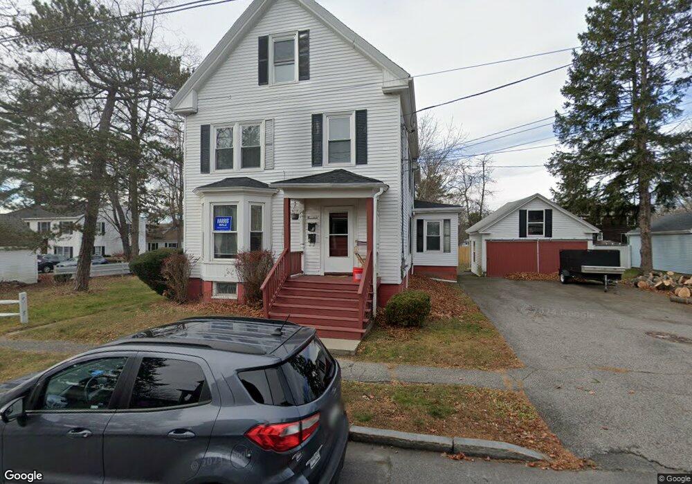
14 Devon St Portland, ME 04102
Nasons Corner NeighborhoodEstimated Value: $543,000 - $741,000
5
Beds
3
Baths
2,487
Sq Ft
$263/Sq Ft
Est. Value
About This Home
This home is located at 14 Devon St, Portland, ME 04102 and is currently estimated at $654,350, approximately $263 per square foot. 14 Devon St is a home located in Cumberland County with nearby schools including Amanda C Rowe School, Lincoln Middle School, and Breakwater School.
Ownership History
Date
Name
Owned For
Owner Type
Purchase Details
Closed on
May 14, 2007
Sold by
Gallant Robert H and Gallant Jacqueline B
Bought by
Gallant Robert H and Gallant Jacqueline B
Current Estimated Value
Home Financials for this Owner
Home Financials are based on the most recent Mortgage that was taken out on this home.
Original Mortgage
$127,000
Outstanding Balance
$77,419
Interest Rate
6.21%
Mortgage Type
Unknown
Estimated Equity
$576,931
Create a Home Valuation Report for This Property
The Home Valuation Report is an in-depth analysis detailing your home's value as well as a comparison with similar homes in the area
Home Values in the Area
Average Home Value in this Area
Purchase History
| Date | Buyer | Sale Price | Title Company |
|---|---|---|---|
| Gallant Robert H | -- | -- |
Source: Public Records
Mortgage History
| Date | Status | Borrower | Loan Amount |
|---|---|---|---|
| Open | Gallant Robert H | $127,000 |
Source: Public Records
Tax History Compared to Growth
Tax History
| Year | Tax Paid | Tax Assessment Tax Assessment Total Assessment is a certain percentage of the fair market value that is determined by local assessors to be the total taxable value of land and additions on the property. | Land | Improvement |
|---|---|---|---|---|
| 2024 | $8,213 | $547,200 | $85,900 | $461,300 |
| 2023 | $7,885 | $547,200 | $85,900 | $461,300 |
| 2022 | $7,447 | $547,200 | $85,900 | $461,300 |
| 2021 | $7,108 | $547,200 | $85,900 | $461,300 |
| 2020 | $6,049 | $259,500 | $63,400 | $196,100 |
| 2019 | $6,049 | $259,500 | $63,400 | $196,100 |
| 2018 | $5,834 | $259,500 | $63,400 | $196,100 |
| 2017 | $5,618 | $259,500 | $63,400 | $196,100 |
| 2016 | $5,478 | $259,500 | $63,400 | $196,100 |
| 2015 | $5,353 | $259,500 | $63,400 | $196,100 |
| 2014 | $5,190 | $259,500 | $63,400 | $196,100 |
Source: Public Records
Map
Nearby Homes
- 0 Hillcrest Ave
- 99 Webb St
- 7 Dale Ct
- 96 Holm Ave
- 24 Celebration Ct Unit 13
- 63A Capisic St
- 1549 Westbrook St
- 97 Warren Ave
- 159 Bancroft St
- 1346 Westbrook St
- 37 Tremont St
- 18 Stoneledge Dr
- 155 Owls Nest Rd
- 149 Owls Nest Rd
- 4 Fairview St
- 147 Pleasant Ave Unit 2
- 2 Firefly St Unit 303
- 1542 Congress St
- 75 Mcauley Way Unit 307
- 75 Mcauley Way Unit 206