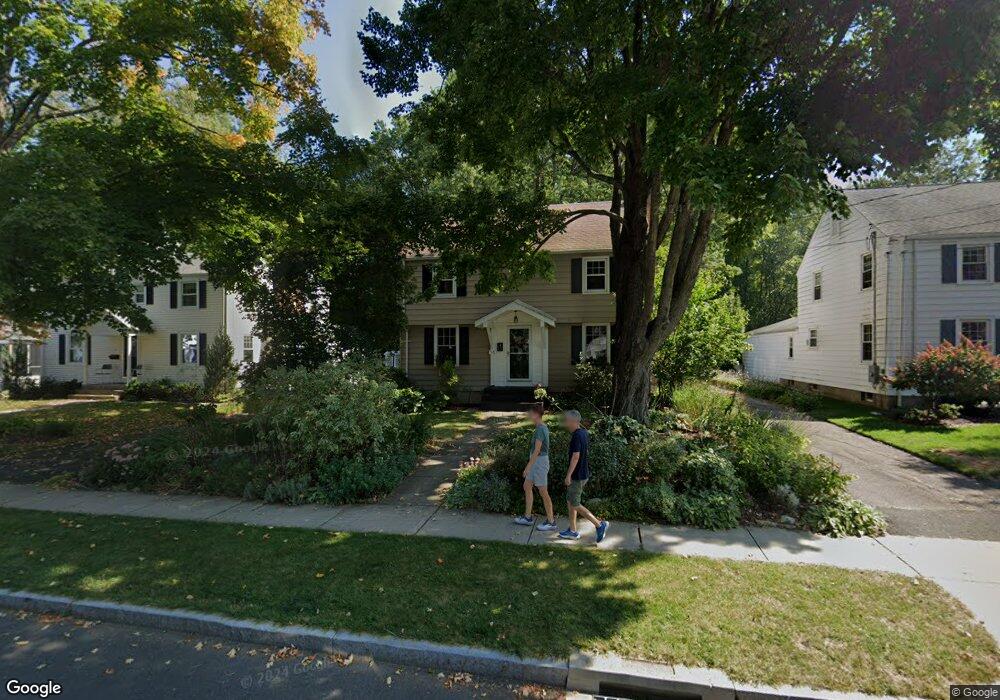
14 Dorset Rd West Hartford, CT 06119
Estimated Value: $524,721 - $566,000
3
Beds
2
Baths
1,561
Sq Ft
$347/Sq Ft
Est. Value
About This Home
This home is located at 14 Dorset Rd, West Hartford, CT 06119 and is currently estimated at $542,430, approximately $347 per square foot. 14 Dorset Rd is a home located in Hartford County with nearby schools including Whiting Lane School, Adams Elementary School, and King Philip Middle School.
Ownership History
Date
Name
Owned For
Owner Type
Purchase Details
Closed on
Jul 20, 2004
Sold by
Schwab Timothy H
Bought by
Harding Scott R and Libal Kathryn R
Current Estimated Value
Home Financials for this Owner
Home Financials are based on the most recent Mortgage that was taken out on this home.
Original Mortgage
$228,800
Interest Rate
6.25%
Purchase Details
Closed on
Jul 2, 2001
Sold by
Fishman Douglas and Bloch Willa A
Bought by
Schwab Timothy H
Home Financials for this Owner
Home Financials are based on the most recent Mortgage that was taken out on this home.
Original Mortgage
$181,450
Interest Rate
7.14%
Purchase Details
Closed on
Nov 25, 1992
Sold by
Davis Marion
Bought by
Fishman Douglas and Bloch Willa
Create a Home Valuation Report for This Property
The Home Valuation Report is an in-depth analysis detailing your home's value as well as a comparison with similar homes in the area
Home Values in the Area
Average Home Value in this Area
Purchase History
| Date | Buyer | Sale Price | Title Company |
|---|---|---|---|
| Harding Scott R | $286,000 | -- | |
| Schwab Timothy H | $191,000 | -- | |
| Fishman Douglas | $132,000 | -- |
Source: Public Records
Mortgage History
| Date | Status | Borrower | Loan Amount |
|---|---|---|---|
| Open | Fishman Douglas | $217,700 | |
| Closed | Fishman Douglas | $228,800 | |
| Previous Owner | Fishman Douglas | $188,000 | |
| Previous Owner | Fishman Douglas | $181,450 |
Source: Public Records
Tax History Compared to Growth
Tax History
| Year | Tax Paid | Tax Assessment Tax Assessment Total Assessment is a certain percentage of the fair market value that is determined by local assessors to be the total taxable value of land and additions on the property. | Land | Improvement |
|---|---|---|---|---|
| 2025 | $10,374 | $231,670 | $90,200 | $141,470 |
| 2024 | $9,811 | $231,670 | $90,200 | $141,470 |
| 2023 | $9,480 | $231,670 | $90,200 | $141,470 |
| 2022 | $9,424 | $231,670 | $90,200 | $141,470 |
| 2021 | $8,605 | $202,860 | $100,800 | $102,060 |
| 2020 | $8,480 | $202,860 | $89,300 | $113,560 |
| 2019 | $8,480 | $202,860 | $89,320 | $113,540 |
| 2018 | $8,317 | $202,860 | $89,320 | $113,540 |
| 2017 | $8,150 | $198,590 | $89,320 | $109,270 |
| 2016 | $7,802 | $197,470 | $81,410 | $116,060 |
| 2015 | $7,482 | $195,300 | $81,410 | $113,890 |
| 2014 | $7,298 | $195,300 | $81,410 | $113,890 |
Source: Public Records
Map
Nearby Homes
- 48 Walkley Rd
- 16 Lilley Rd
- 237 Fern St Unit 314
- 105 Ardmore Rd
- 54 Robin Rd Unit B2
- 869 Farmington Ave Unit 305
- 1196 Trout Brook Dr
- 30 Outlook Ave Unit 205
- 1110 Trout Brook Dr
- 1006A Trout Brook Dr Unit 1006A
- 518 Prospect Ave
- 1268 Trout Brook Dr
- 39 Fairlawn St
- 1272 Trout Brook Dr
- 129 Middlebrook Rd
- 478 Prospect Ave
- 183 Loomis Dr Unit 109
- 3 Trumbull Ln
- 16 Lockwood Terrace
- 260 Oxford St Unit 262