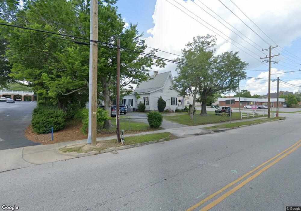
14 E Keitt St Manning, SC 29102
Estimated Value: $186,660
Studio
2
Baths
1,634
Sq Ft
$114/Sq Ft
Est. Value
About This Home
This home is located at 14 E Keitt St, Manning, SC 29102 and is currently estimated at $186,660, approximately $114 per square foot. 14 E Keitt St is a home located in Clarendon County with nearby schools including Phoenix Charter High School and Laurence Manning Academy.
Ownership History
Date
Name
Owned For
Owner Type
Purchase Details
Closed on
Sep 8, 2020
Sold by
Mills Linda H and Flowers De Lindas
Bought by
Weeks Robert A and Weeks Tracy T
Current Estimated Value
Home Financials for this Owner
Home Financials are based on the most recent Mortgage that was taken out on this home.
Original Mortgage
$120,000
Outstanding Balance
$105,727
Interest Rate
3%
Mortgage Type
Seller Take Back
Estimated Equity
$80,933
Create a Home Valuation Report for This Property
The Home Valuation Report is an in-depth analysis detailing your home's value as well as a comparison with similar homes in the area
Home Values in the Area
Average Home Value in this Area
Purchase History
| Date | Buyer | Sale Price | Title Company |
|---|---|---|---|
| Weeks Robert A | $126,210 | None Available |
Source: Public Records
Mortgage History
| Date | Status | Borrower | Loan Amount |
|---|---|---|---|
| Open | Weeks Robert A | $120,000 |
Source: Public Records
Tax History
| Year | Tax Paid | Tax Assessment Tax Assessment Total Assessment is a certain percentage of the fair market value that is determined by local assessors to be the total taxable value of land and additions on the property. | Land | Improvement |
|---|---|---|---|---|
| 2025 | $3,504 | $6,126 | $2,100 | $4,026 |
| 2024 | $3,185 | $6,126 | $2,100 | $4,026 |
| 2023 | $3,805 | $7,554 | $2,400 | $5,154 |
| 2022 | $3,758 | $7,554 | $2,400 | $5,154 |
| 2021 | $2,135 | $7,488 | $2,400 | $5,088 |
| 2020 | $2,073 | $4,356 | $0 | $0 |
| 2019 | $2,011 | $2,904 | $1,400 | $1,504 |
| 2018 | $1,973 | $4,356 | $0 | $0 |
| 2017 | $1,950 | $4,356 | $0 | $0 |
| 2016 | $1,941 | $4,356 | $0 | $0 |
| 2015 | $1,989 | $4,687 | $2,095 | $2,592 |
| 2014 | $1,978 | $4,687 | $2,095 | $2,592 |
| 2013 | -- | $4,687 | $2,095 | $2,592 |
Source: Public Records
Map
Nearby Homes
- 5301 Cypress Pointe #D301
- 202 E Huggins St
- 138 Nelson Cir
- 225 Reardon St
- 200 W Boyce St
- 101 Sumter St
- 227 N Church St
- 250 Dyson St
- 387 Drayton St
- 406 Thames St
- 408 Toccoa Dr
- 401 W Huggins St
- 423 Thames St
- 126 Hillcrest St
- TBD S Carolina 260
- 1000 Carolina Way
- TBD W Huggins St
- 610 Gib Dr
- 633 Sykes St
- 617 Pickwood Dr
- 5 S Church St
- 112 S Church St
- 106 B E Boyce St
- 106 E Boyce St
- 16 S Brooks St
- 108
- 200 S Church St
- 8 W Boyce St
- 15 E Boyce St
- 204 S Church St
- N/A Wood Lake Boat Slip #94
- N/A Deer Trail Boat Slip #1
- N/A Deer Trail Boat Slip #4
- N/A
- N/A Wood Lake Boat Slip #98
- N/A Wood Lake Boat Slip #70
- N/A Wood Lake Boat Slip #59
- N/A Wood Lake Boat Slip #69
- N/A Wood Lake Boat Slip #80
- N/A Wood Lake Boat Slip #52
Your Personal Tour Guide
Ask me questions while you tour the home.