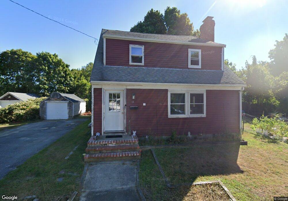
14 Edwards Rd Hyannis, MA 02601
Estimated Value: $474,000 - $525,000
3
Beds
1
Bath
1,441
Sq Ft
$350/Sq Ft
Est. Value
About This Home
This home is located at 14 Edwards Rd, Hyannis, MA 02601 and is currently estimated at $504,556, approximately $350 per square foot. 14 Edwards Rd is a home located in Barnstable County with nearby schools including Hyannis West Elementary School, Barnstable United Elementary School, and Barnstable Intermediate School.
Ownership History
Date
Name
Owned For
Owner Type
Purchase Details
Closed on
Jun 14, 2002
Sold by
Holmes Anne E
Bought by
Lescault Patricia A
Current Estimated Value
Home Financials for this Owner
Home Financials are based on the most recent Mortgage that was taken out on this home.
Original Mortgage
$197,671
Outstanding Balance
$83,521
Interest Rate
6.8%
Mortgage Type
Purchase Money Mortgage
Estimated Equity
$421,035
Purchase Details
Closed on
Mar 12, 1998
Sold by
Bloom Patrick G and Bloom Jennifer L
Bought by
Holmes Anne E
Home Financials for this Owner
Home Financials are based on the most recent Mortgage that was taken out on this home.
Original Mortgage
$94,000
Interest Rate
7.03%
Mortgage Type
Purchase Money Mortgage
Purchase Details
Closed on
Mar 10, 1994
Sold by
Marchant Dennis and Marchant Vicki R
Bought by
Bloom Patrick G
Home Financials for this Owner
Home Financials are based on the most recent Mortgage that was taken out on this home.
Original Mortgage
$81,600
Interest Rate
6.93%
Mortgage Type
Purchase Money Mortgage
Create a Home Valuation Report for This Property
The Home Valuation Report is an in-depth analysis detailing your home's value as well as a comparison with similar homes in the area
Home Values in the Area
Average Home Value in this Area
Purchase History
| Date | Buyer | Sale Price | Title Company |
|---|---|---|---|
| Lescault Patricia A | $205,000 | -- | |
| Holmes Anne E | $92,000 | -- | |
| Bloom Patrick G | $80,000 | -- |
Source: Public Records
Mortgage History
| Date | Status | Borrower | Loan Amount |
|---|---|---|---|
| Open | Bloom Patrick G | $197,671 | |
| Previous Owner | Bloom Patrick G | $94,000 | |
| Previous Owner | Bloom Patrick G | $81,600 |
Source: Public Records
Tax History Compared to Growth
Tax History
| Year | Tax Paid | Tax Assessment Tax Assessment Total Assessment is a certain percentage of the fair market value that is determined by local assessors to be the total taxable value of land and additions on the property. | Land | Improvement |
|---|---|---|---|---|
| 2025 | $4,087 | $440,900 | $135,700 | $305,200 |
| 2024 | $3,996 | $441,500 | $135,700 | $305,800 |
| 2023 | $3,673 | $383,800 | $123,300 | $260,500 |
| 2022 | $3,560 | $307,700 | $91,400 | $216,300 |
| 2021 | $3,236 | $271,700 | $91,400 | $180,300 |
| 2020 | $3,112 | $252,400 | $91,400 | $161,000 |
| 2019 | $2,954 | $234,800 | $91,400 | $143,400 |
| 2018 | $2,552 | $207,500 | $96,200 | $111,300 |
| 2017 | $2,477 | $206,600 | $96,200 | $110,400 |
| 2016 | $2,509 | $213,900 | $103,500 | $110,400 |
| 2015 | $2,570 | $222,100 | $95,400 | $126,700 |
Source: Public Records
Map
Nearby Homes
- 22 Terry Ct
- 83 Main St
- 16 Iyannough Rd
- 35 Pleasant St
- 49 Center St
- 115 School St Unit W206
- 110 School St Unit E113
- 72 Grove St
- 121 Camp St Unit 128
- 321 Winter St
- 65 Louis St Unit A
- 12 Walnut St
- 107 Channel Point Rd
- 23 Baxter Ave
- 213 Hinckley Rd
- 178 Walnut St
- 297 Compass Cir
- 25 Ripple Cove Rd
- 287 Ocean St Unit C2
- 287 Ocean St Unit 2 BLDG C