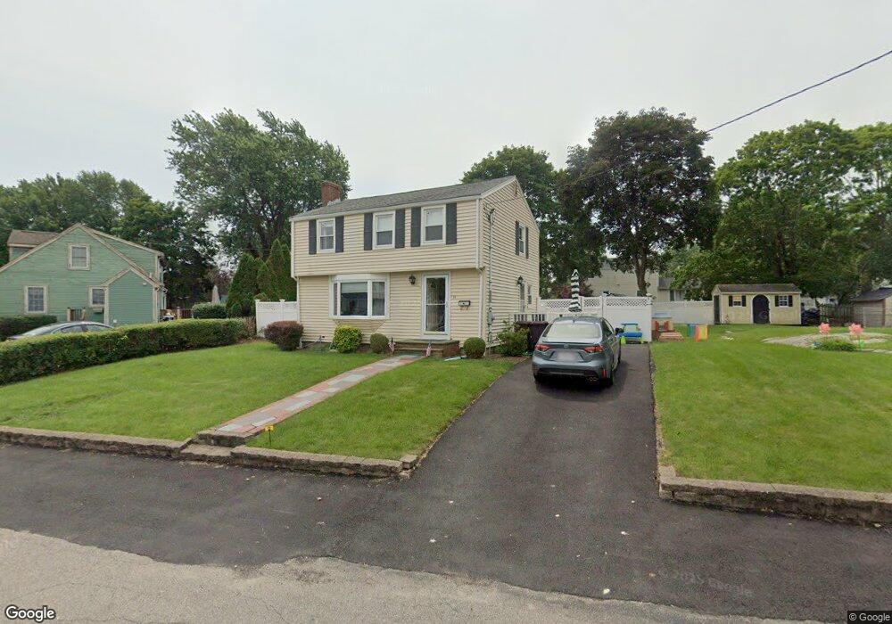
14 Eisenhower Rd South Weymouth, MA 02190
South Weymouth NeighborhoodEstimated Value: $621,699 - $657,000
3
Beds
2
Baths
1,170
Sq Ft
$542/Sq Ft
Est. Value
About This Home
This home is located at 14 Eisenhower Rd, South Weymouth, MA 02190 and is currently estimated at $634,425, approximately $542 per square foot. 14 Eisenhower Rd is a home located in Norfolk County with nearby schools including Thomas V Nash, Abigail Adams Middle School, and Weymouth Middle School Chapman.
Ownership History
Date
Name
Owned For
Owner Type
Purchase Details
Closed on
Nov 1, 2000
Sold by
Omalley Geraldine A
Bought by
Citizens Bk Of Ma
Current Estimated Value
Create a Home Valuation Report for This Property
The Home Valuation Report is an in-depth analysis detailing your home's value as well as a comparison with similar homes in the area
Home Values in the Area
Average Home Value in this Area
Purchase History
| Date | Buyer | Sale Price | Title Company |
|---|---|---|---|
| Citizens Bk Of Ma | $10,000 | -- |
Source: Public Records
Mortgage History
| Date | Status | Borrower | Loan Amount |
|---|---|---|---|
| Closed | Citizens Bk Of Ma | $90,000 | |
| Previous Owner | Citizens Bk Of Ma | $50,000 |
Source: Public Records
Tax History Compared to Growth
Tax History
| Year | Tax Paid | Tax Assessment Tax Assessment Total Assessment is a certain percentage of the fair market value that is determined by local assessors to be the total taxable value of land and additions on the property. | Land | Improvement |
|---|---|---|---|---|
| 2025 | $5,310 | $525,700 | $248,200 | $277,500 |
| 2024 | $5,198 | $506,100 | $236,400 | $269,700 |
| 2023 | $4,848 | $463,900 | $218,900 | $245,000 |
| 2022 | $4,802 | $419,000 | $202,700 | $216,300 |
| 2021 | $4,627 | $394,100 | $202,700 | $191,400 |
| 2020 | $4,404 | $369,500 | $202,700 | $166,800 |
| 2019 | $4,305 | $355,200 | $194,900 | $160,300 |
| 2018 | $4,314 | $345,100 | $193,400 | $151,700 |
| 2017 | $4,095 | $319,700 | $184,200 | $135,500 |
| 2016 | $3,941 | $307,900 | $177,100 | $130,800 |
| 2015 | $3,831 | $297,000 | $177,100 | $119,900 |
| 2014 | $3,701 | $278,300 | $164,800 | $113,500 |
Source: Public Records
Map
Nearby Homes
- 2 Mitchell Ln Unit B
- 92 Mercury St
- 27 Park Ave
- 255 West St
- 262 West St
- 24 Fisher Rd
- 16 Jay Rd
- 308 Forest St
- 655 Summer St
- 261 Pleasant St Unit 5
- 120 Burkhall St Unit K
- 2 Tara Dr Unit 1
- 116 Belmont St
- 200 Burkhall St Unit 803
- 200 Burkhall St Unit 102
- 110 Burkhall St Unit H
- 68 Massapoag St Unit 7
- 200 Justin Dr Unit 3
- 45 Union St
- 191 Tall Oaks Dr Unit C