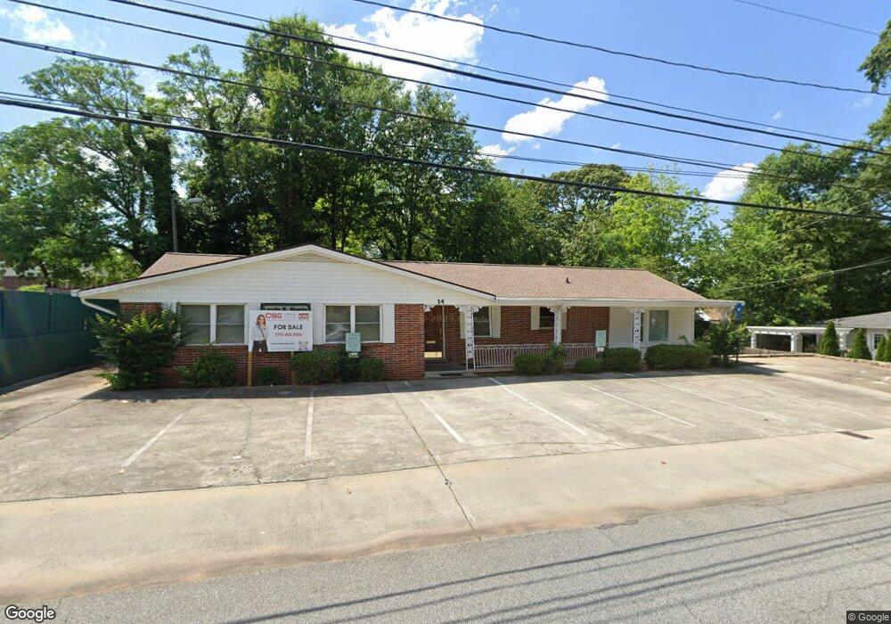
14 Farmer St Newnan, GA 30263
Estimated Value: $469,959
--
Bed
1
Bath
2,290
Sq Ft
$205/Sq Ft
Est. Value
About This Home
This home is located at 14 Farmer St, Newnan, GA 30263 and is currently priced at $469,959, approximately $205 per square foot. 14 Farmer St is a home located in Coweta County with nearby schools including Jefferson Parkway Elementary School, Madras Middle School, and Northgate High School.
Ownership History
Date
Name
Owned For
Owner Type
Purchase Details
Closed on
Dec 30, 2014
Sold by
Delta Heath Care Management
Bought by
Kuntz Louis E Cpa Pc
Current Estimated Value
Purchase Details
Closed on
Jul 15, 2002
Sold by
Kilgore Larry
Bought by
Delta Health Care Mgmt Corp
Home Financials for this Owner
Home Financials are based on the most recent Mortgage that was taken out on this home.
Original Mortgage
$12,679
Interest Rate
6.67%
Mortgage Type
Commercial
Purchase Details
Closed on
Jul 31, 1983
Bought by
Kilgore Larry
Create a Home Valuation Report for This Property
The Home Valuation Report is an in-depth analysis detailing your home's value as well as a comparison with similar homes in the area
Home Values in the Area
Average Home Value in this Area
Purchase History
| Date | Buyer | Sale Price | Title Company |
|---|---|---|---|
| Kuntz Louis E Cpa Pc | -- | -- | |
| Louis E Kuntz Cpa Pc | -- | -- | |
| Delta Health Care Mgmt Corp | -- | -- | |
| Kilgore Larry | -- | -- |
Source: Public Records
Mortgage History
| Date | Status | Borrower | Loan Amount |
|---|---|---|---|
| Previous Owner | Delta Health Care Mgmt Corp | $12,679 |
Source: Public Records
Tax History Compared to Growth
Tax History
| Year | Tax Paid | Tax Assessment Tax Assessment Total Assessment is a certain percentage of the fair market value that is determined by local assessors to be the total taxable value of land and additions on the property. | Land | Improvement |
|---|---|---|---|---|
| 2024 | $1,248 | $54,618 | $11,797 | $42,821 |
| 2023 | $1,248 | $54,618 | $11,797 | $42,821 |
| 2022 | $1,323 | $54,393 | $11,797 | $42,596 |
| 2021 | $1,462 | $54,393 | $11,797 | $42,596 |
| 2020 | $1,495 | $54,393 | $11,797 | $42,596 |
| 2019 | $1,669 | $55,574 | $11,797 | $43,777 |
| 2018 | $1,679 | $55,574 | $11,797 | $43,777 |
| 2017 | $1,672 | $55,574 | $11,796 | $43,778 |
| 2016 | $1,673 | $55,574 | $11,797 | $43,777 |
| 2015 | $1,676 | $55,574 | $11,797 | $43,777 |
| 2014 | $1,715 | $65,994 | $17,695 | $48,298 |
Source: Public Records
Map
Nearby Homes
- 0 Highway 34 Unit 20149159
- 40 Wilcoxon St
- 15 Casey St
- 5 Casey Rd
- 0 Georgia 34 Unit 7614778
- 144 Jackson St
- 55A Perry St
- 11 Main St
- 34 Sprayberry Rd
- 3 Briarwood Ln
- 3 Northside Dr
- 0 Highway 29 N Unit 14.41+/- AC 10432364
- 0 N Highway 29 Unit 20115352
- 6 Casey Rd
- 4 Casey Rd
- 2 Casey Rd
- 7 Casey Rd
- 3 Casey Rd
- 61 Clark St
- 123 Chastain Cir