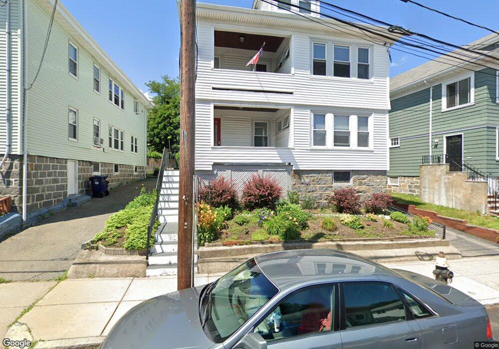
14 Franconia St Dorchester, MA 02122
Neponset-Port Norfolk NeighborhoodEstimated Value: $1,024,000 - $1,168,000
5
Beds
2
Baths
2,918
Sq Ft
$369/Sq Ft
Est. Value
About This Home
This home is located at 14 Franconia St, Dorchester, MA 02122 and is currently estimated at $1,076,990, approximately $369 per square foot. 14 Franconia St is a home located in Suffolk County with nearby schools including Conservatory Lab Upper School, St Brendan School, and Saint John Paul II Catholic Academy.
Ownership History
Date
Name
Owned For
Owner Type
Purchase Details
Closed on
Nov 27, 2002
Sold by
Mooney Donald J and Mooney Phyllis N
Bought by
Maxwell Jeffrey J
Current Estimated Value
Home Financials for this Owner
Home Financials are based on the most recent Mortgage that was taken out on this home.
Original Mortgage
$200,000
Interest Rate
6.16%
Mortgage Type
Purchase Money Mortgage
Create a Home Valuation Report for This Property
The Home Valuation Report is an in-depth analysis detailing your home's value as well as a comparison with similar homes in the area
Home Values in the Area
Average Home Value in this Area
Purchase History
| Date | Buyer | Sale Price | Title Company |
|---|---|---|---|
| Maxwell Jeffrey J | $437,000 | -- |
Source: Public Records
Mortgage History
| Date | Status | Borrower | Loan Amount |
|---|---|---|---|
| Open | Maxwell Jeffrey J | $195,000 | |
| Closed | Maxwell Jeffrey J | $200,000 | |
| Previous Owner | Maxwell Jeffrey J | $40,000 |
Source: Public Records
Tax History Compared to Growth
Tax History
| Year | Tax Paid | Tax Assessment Tax Assessment Total Assessment is a certain percentage of the fair market value that is determined by local assessors to be the total taxable value of land and additions on the property. | Land | Improvement |
|---|---|---|---|---|
| 2025 | $10,230 | $883,400 | $284,100 | $599,300 |
| 2024 | $9,606 | $881,300 | $258,800 | $622,500 |
| 2023 | $8,850 | $824,000 | $242,000 | $582,000 |
| 2022 | $8,620 | $792,300 | $232,700 | $559,600 |
| 2021 | $8,052 | $754,600 | $221,600 | $533,000 |
| 2020 | $7,252 | $686,700 | $193,600 | $493,100 |
| 2019 | $6,701 | $635,800 | $147,900 | $487,900 |
| 2018 | $6,878 | $656,300 | $147,900 | $508,400 |
| 2017 | $6,318 | $596,600 | $147,900 | $448,700 |
| 2016 | $6,076 | $552,400 | $147,900 | $404,500 |
| 2015 | $5,747 | $474,600 | $132,800 | $341,800 |
| 2014 | $5,197 | $413,100 | $132,800 | $280,300 |
Source: Public Records
Map
Nearby Homes
- 701 Adams St Unit 9
- 140 Minot St
- 107 Minot St
- 103 Minot St
- 33 Westmoreland St
- 80 Beaumont St Unit 101
- 37 Westmoreland St
- 40 Westmoreland St Unit 8
- 251 Minot St Unit 6
- 45 Chickatawbut St Unit 1
- 43 Chickatawbut St
- 51 Coffey St Unit 51C
- 9-11 Adanac Terrace
- 56 Coffey St Unit 10
- 859 Adams St Unit 859
- 885-887 Adams St Unit 1
- 45 Msgr Patrick j Lydon Way
- 54 Msgr Patrick j Lydon Way
- 543 Adams St Unit 24
- 118-120 Granite Ave Unit 2
- 18 Franconia St
- 18 Franconia St Unit 1
- 18 Franconia St Unit 2
- 10 Franconia St Unit 2
- 10 Franconia St
- 10 Franconia St Unit 1
- 22 Franconia St
- 6 Franconia St
- 11 Delmont St
- 15 Delmont St
- 15 Delmont St Unit 2
- 9 Delmont St Unit 1
- 7 Delmont St Unit 2
- 7 Delmont St Unit 1
- 7 Delmont St
- 9 Delmont St
- 15 Franconia St
- 26 Franconia St Unit 28
- 9 Franconia St
- 19 Franconia St