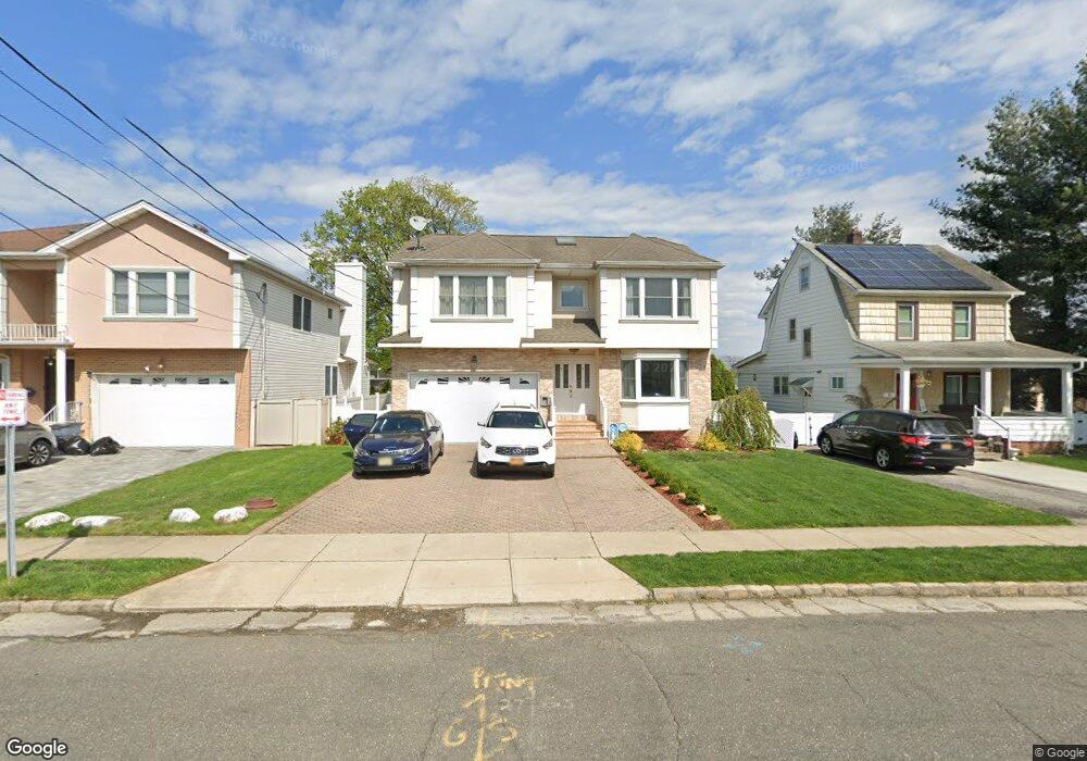
14 Garfield Place Roslyn Heights, NY 11577
Estimated Value: $1,474,000 - $1,547,237
5
Beds
3
Baths
2,530
Sq Ft
$597/Sq Ft
Est. Value
About This Home
This home is located at 14 Garfield Place, Roslyn Heights, NY 11577 and is currently estimated at $1,510,619, approximately $597 per square foot. 14 Garfield Place is a home located in Nassau County with nearby schools including Roslyn Middle School, Roslyn High School, and Henry Viscardi School.
Ownership History
Date
Name
Owned For
Owner Type
Purchase Details
Closed on
Jul 23, 2021
Sold by
Dangelo Edith and Ruiz Luis
Bought by
Dangelo Edith and Ruiz Luis
Current Estimated Value
Purchase Details
Closed on
Feb 9, 2015
Sold by
Santos Amalio and Santos Marilyn
Bought by
Angelo Edith D
Home Financials for this Owner
Home Financials are based on the most recent Mortgage that was taken out on this home.
Original Mortgage
$625,500
Outstanding Balance
$478,732
Interest Rate
3.74%
Mortgage Type
New Conventional
Estimated Equity
$1,031,887
Purchase Details
Closed on
Nov 12, 2003
Sold by
Kattan Amnon
Bought by
Santos Amalio
Purchase Details
Closed on
Dec 2, 2002
Sold by
Wurl Walter
Bought by
Kattan Shula
Create a Home Valuation Report for This Property
The Home Valuation Report is an in-depth analysis detailing your home's value as well as a comparison with similar homes in the area
Home Values in the Area
Average Home Value in this Area
Purchase History
| Date | Buyer | Sale Price | Title Company |
|---|---|---|---|
| Dangelo Edith | -- | Judicial Title | |
| Angelo Edith D | $910,000 | Judicial Title Insurance | |
| Santos Amalio | $790,000 | -- | |
| Kattan Shula | $370,000 | -- |
Source: Public Records
Mortgage History
| Date | Status | Borrower | Loan Amount |
|---|---|---|---|
| Open | Angelo Edith D | $625,500 |
Source: Public Records
Tax History Compared to Growth
Tax History
| Year | Tax Paid | Tax Assessment Tax Assessment Total Assessment is a certain percentage of the fair market value that is determined by local assessors to be the total taxable value of land and additions on the property. | Land | Improvement |
|---|---|---|---|---|
| 2025 | $26,806 | $1,140 | $289 | $851 |
| 2024 | $6,606 | $1,140 | $289 | $851 |
| 2023 | $24,628 | $1,208 | $316 | $892 |
| 2022 | $24,628 | $1,140 | $289 | $851 |
| 2021 | $21,040 | $1,218 | $309 | $909 |
| 2020 | $21,594 | $1,246 | $600 | $646 |
| 2019 | $18,430 | $1,246 | $600 | $646 |
| 2018 | $17,591 | $1,246 | $0 | $0 |
| 2017 | $12,222 | $1,230 | $600 | $630 |
| 2016 | $16,140 | $1,230 | $600 | $630 |
| 2015 | $3,529 | $1,230 | $534 | $696 |
| 2014 | $3,529 | $1,230 | $534 | $696 |
| 2013 | $3,345 | $1,230 | $534 | $696 |
Source: Public Records
Map
Nearby Homes
- 5 Garfield Place
- 22 High St
- 38 High St
- 53 Maple St
- 69 Woodward St
- 31 Woodward St
- 37 Maple St
- 142 Willow St
- 97 Burnham Ave
- 70 Short Way
- 134 Warner Ave
- 39 Oakdale Rd
- 65 Stratford N
- 107 Warner Ave
- 99 Warner Ave
- 2 Edwards St Unit 3 B
- 16 Edwards St Unit 2G
- 18 Edwards St Unit 2B
- 15 Dianas Cir
- 5 Hillside Ave
- 18 Garfield Place
- 10 Garfield Place
- 6 Garfield Place
- 211 Mineola Ave
- 11 Garfield Place
- 17 Garfield Place
- 7 Garfield Place
- 23 Garfield Place
- 131 Macgregor Ave
- 125 Macgregor Ave
- 127 Powerhouse Rd
- 123 Macgregor Ave
- 108 Macgregor Ave
- 129 Powerhouse Rd
- 117 Macgregor Ave
- 190 Mineola Ave
- 104 Macgregor Ave
- 104 Macgregor Ave Unit 2
- 104 Macgregor Ave Unit 2nd Fl
- 111 Macgregor Ave