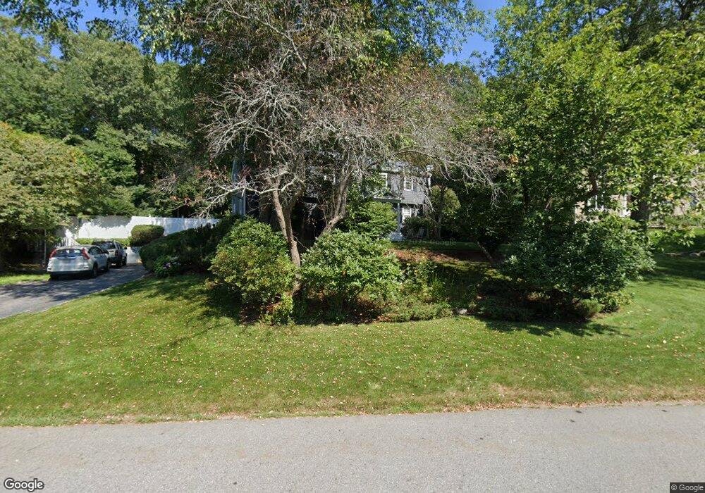
14 Gen Henry Knox Rd Southborough, MA 01772
Estimated Value: $950,731 - $1,083,000
4
Beds
3
Baths
2,337
Sq Ft
$435/Sq Ft
Est. Value
About This Home
This home is located at 14 Gen Henry Knox Rd, Southborough, MA 01772 and is currently estimated at $1,017,183, approximately $435 per square foot. 14 Gen Henry Knox Rd is a home located in Worcester County with nearby schools including Margaret A. Neary School, Albert S. Woodward Memorial School, and P. Brent Trottier Middle School.
Ownership History
Date
Name
Owned For
Owner Type
Purchase Details
Closed on
Aug 1, 2005
Sold by
Joyal Nancy M and Joyal Peter G
Bought by
Hostage Christine M and Hostage Timothy
Current Estimated Value
Home Financials for this Owner
Home Financials are based on the most recent Mortgage that was taken out on this home.
Original Mortgage
$359,500
Outstanding Balance
$188,971
Interest Rate
5.67%
Mortgage Type
Purchase Money Mortgage
Estimated Equity
$828,212
Purchase Details
Closed on
Feb 1, 1996
Sold by
Gethin Michael J and Gethin Marie
Bought by
Joyal Pater G and Joyal Nancy
Purchase Details
Closed on
Feb 1, 1989
Sold by
Duggan Joseph
Bought by
Gethin Michael J
Create a Home Valuation Report for This Property
The Home Valuation Report is an in-depth analysis detailing your home's value as well as a comparison with similar homes in the area
Home Values in the Area
Average Home Value in this Area
Purchase History
| Date | Buyer | Sale Price | Title Company |
|---|---|---|---|
| Hostage Christine M | $617,000 | -- | |
| Joyal Pater G | $251,500 | -- | |
| Gethin Michael J | $250,000 | -- | |
| Gethin Michael J | $250,000 | -- |
Source: Public Records
Mortgage History
| Date | Status | Borrower | Loan Amount |
|---|---|---|---|
| Open | Hostage Christine M | $359,500 | |
| Previous Owner | Gethin Michael J | $210,500 | |
| Previous Owner | Gethin Michael J | $80,000 |
Source: Public Records
Tax History Compared to Growth
Tax History
| Year | Tax Paid | Tax Assessment Tax Assessment Total Assessment is a certain percentage of the fair market value that is determined by local assessors to be the total taxable value of land and additions on the property. | Land | Improvement |
|---|---|---|---|---|
| 2025 | $11,476 | $831,000 | $305,200 | $525,800 |
| 2024 | $10,864 | $781,000 | $305,200 | $475,800 |
| 2023 | $10,134 | $686,600 | $292,600 | $394,000 |
| 2022 | $9,602 | $589,800 | $255,100 | $334,700 |
| 2021 | $9,467 | $548,700 | $234,800 | $313,900 |
| 2020 | $8,990 | $539,600 | $226,600 | $313,000 |
| 2019 | $9,083 | $542,600 | $220,300 | $322,300 |
| 2018 | $8,501 | $526,700 | $214,100 | $312,600 |
| 2017 | $8,231 | $502,500 | $214,100 | $288,400 |
| 2016 | $7,965 | $503,500 | $204,000 | $299,500 |
| 2015 | $8,105 | $505,900 | $189,200 | $316,700 |
Source: Public Records
Map
Nearby Homes
- 9 John Matthews Rd
- 20 Clifford Rd
- 11 Skylar Dr
- 8 Lorenzo Dr
- 2 Fairview Dr
- Lot 2 Quinn Rd
- 6 Eastbrook Farm Ln
- 14 Lovers Ln
- 36 E Main St
- 15 Lovers Ln
- 19 Gilmore Rd
- 7 John St
- 9 Cherry St
- 54 Gilmore Rd
- 23 Stonebrook Ct Unit 11
- 58 Framingham Rd
- 3 Candlewood Ln
- lot 1 Sears Rd
- 1 Carriage Hill Cir Unit 1
- 14 Wolfpen Ln
- 14 General Henry Knox Rd
- 16 General Henry Knox Rd
- 16 Gen Henry Knox Rd
- 12 Gen Henry Knox Rd
- 12 General Henry Knox Rd Unit 1
- 12 General Henry Knox Rd
- 18 Gen Henry Knox Rd
- 10 Gen Henry Knox Rd
- 17 General Henry Knox
- 17 Gen Henry Knox Rd
- 20 Gen Henry Knox Rd
- 9 Gen Henry Knox Rd
- 2 Devine Ln
- 3 Devine Ln
- 8 Gen Henry Knox Rd
- 7 Gen Henry Knox Rd
- 1 Devine Ln
- 1 Devine Ln
- 19 Gen Henry Knox Rd
- 19 General Henry Knox Rd